
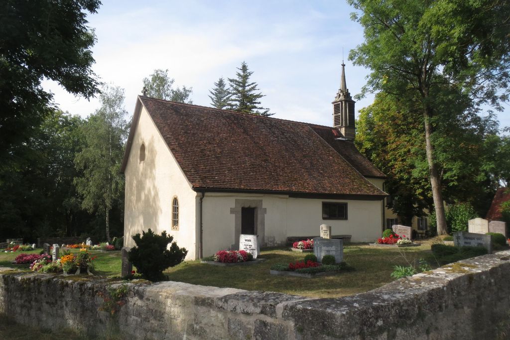
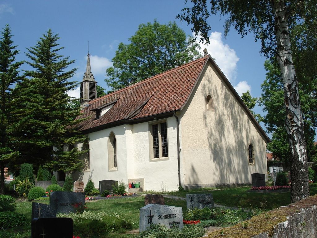
| Memorials | : | 0 |
| Location | : | Rothenburg ob der Tauber, Landkreis Ansbach, Germany |
| Coordinate | : | 49.3619997, 10.1952344 |
frequently asked questions (FAQ):
-
Where is Friedhof Sankt Leonhard?
Friedhof Sankt Leonhard is located at Sankt Leonhard Strasse Rothenburg ob der Tauber, Landkreis Ansbach ,Bavaria (Bayern) , 91541Germany.
-
Friedhof Sankt Leonhard cemetery's updated grave count on graveviews.com?
0 memorials
-
Where are the coordinates of the Friedhof Sankt Leonhard?
Latitude: 49.3619997
Longitude: 10.1952344

Nearby Cemetories:
1. Gebsattel
Gebsattel, Landkreis Ansbach, Germany
Coordinate: 49.3503735, 10.1932641
2. Neuer Friedhof Rothenburg
Rothenburg ob der Tauber, Landkreis Ansbach, Germany
Coordinate: 49.3741670, 10.1865520
3. Alter Friedhof Rothenburg
Rothenburg ob der Tauber, Landkreis Ansbach, Germany
Coordinate: 49.3754270, 10.1874910
4. Franziskanerkloster Rothenburg o.d. Tauber
Rothenburg ob der Tauber, Landkreis Ansbach, Germany
Coordinate: 49.3766670, 10.1763890
5. Friedhof Neusitz
Neusitz, Landkreis Ansbach, Germany
Coordinate: 49.3714107, 10.2224423
6. Neuer jüdischer Friedhof Rothenburg
Rothenburg ob der Tauber, Landkreis Ansbach, Germany
Coordinate: 49.3843200, 10.1867210
7. Friedhof Bockenfeld
Bockenfeld, Landkreis Ansbach, Germany
Coordinate: 49.3286696, 10.1967328
8. Friedhof Diebach
Diebach, Landkreis Ansbach, Germany
Coordinate: 49.3093394, 10.1865778
9. Friedhof Insingen
Insingen, Landkreis Ansbach, Germany
Coordinate: 49.3033533, 10.1619194
10. Friedhof Heiligenbronn
Heiligenbronn, Landkreis Schwäbisch Hall, Germany
Coordinate: 49.3794013, 10.0981218
11. Friedhof Diebach-Oberoestheim
Oberoestheim, Landkreis Ansbach, Germany
Coordinate: 49.2861721, 10.2036907
12. Friedhof Gastenfelden
Gastenfelden (Buch am Wald), Landkreis Ansbach, Germany
Coordinate: 49.3160642, 10.2959667
13. Friedhof Gammesfeld
Gammesfeld, Landkreis Schwäbisch Hall, Germany
Coordinate: 49.3112540, 10.0948363
14. Friedhof Hausen am Bach
Rot am See, Landkreis Schwäbisch Hall, Germany
Coordinate: 49.2959356, 10.1179181
15. Gailnau Cemetery
Untergailnau, Landkreis Ansbach, Germany
Coordinate: 49.2678533, 10.1887184
16. Friedhof Wettringen
Wettringen, Landkreis Ansbach, Germany
Coordinate: 49.2579900, 10.1574300
17. Friedhof Ohrenbach
Ohrenbach, Landkreis Ansbach, Germany
Coordinate: 49.4691644, 10.2109335
18. Friedhof Brettheim
Brettheim, Landkreis Schwäbisch Hall, Germany
Coordinate: 49.2782623, 10.0903073
19. Friedhof Wörnitz
Wörnitz, Landkreis Ansbach, Germany
Coordinate: 49.2567417, 10.2422890
20. Friedhof Archshofen
Archshofen, Main-Tauber-Kreis, Germany
Coordinate: 49.4529800, 10.0750300
21. Erzberg Cemetery
Erzberg, Landkreis Ansbach, Germany
Coordinate: 49.2396733, 10.2096363
22. St. Veit Lutheran Church Cemetery
Dombuhl, Landkreis Ansbach, Germany
Coordinate: 49.2549489, 10.2872245
23. Friedhof Dombühl
Dombuhl, Landkreis Ansbach, Germany
Coordinate: 49.2548865, 10.2907465
24. Friedhof Hilgartshausen
Rot am See, Landkreis Schwäbisch Hall, Germany
Coordinate: 49.2672091, 10.0675529