
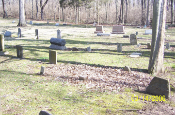
| Memorials | : | 2 |
| Location | : | Xenia Township, Greene County, USA |
| Coordinate | : | 39.7425385, -83.9332275 |
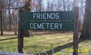
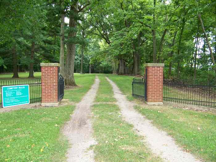
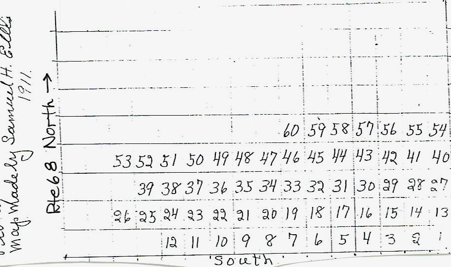
| Description | : | Cemetery was formerly known as Ellis Cemetery, named for its original founder, Elijah Ellis, who was buried there in 1859. The cemetery is located on the east side of US 68 about 0.1 miles south of its intersection with Clifton Road. The cemetery is located in Xenia Township, Greene County, Ohio, and is # 4265 (Ellis Quaker Cemetery) in “Ohio Cemeteries 1803-2003”, compiled by the Ohio Genealogical Society. |
frequently asked questions (FAQ):
-
Where is Friends Cemetery?
Friends Cemetery is located at US 68 Xenia Township, Greene County ,Ohio , 45385USA.
-
Friends Cemetery cemetery's updated grave count on graveviews.com?
2 memorials
-
Where are the coordinates of the Friends Cemetery?
Latitude: 39.7425385
Longitude: -83.9332275
Nearby Cemetories:
1. Morgan Cemetery
Beavercreek, Greene County, USA
Coordinate: 39.7414408, -83.9499268
2. Quinn Dayton Cemetery
Beavercreek, Greene County, USA
Coordinate: 39.7539750, -83.9653080
3. Stevenson Cemetery
Wilberforce, Greene County, USA
Coordinate: 39.7311096, -83.8925171
4. House Family Cemetery
Xenia, Greene County, USA
Coordinate: 39.7217789, -83.8937454
5. Andrews Farm Cemetery
Xenia, Greene County, USA
Coordinate: 39.7158630, -83.9728760
6. Pleasant Grove Cemetery
Yellow Springs, Greene County, USA
Coordinate: 39.7849770, -83.9441147
7. Allen-Hawkins Cemetery
Xenia, Greene County, USA
Coordinate: 39.7040825, -83.9632263
8. Forsman Cemetery
Xenia, Greene County, USA
Coordinate: 39.6955500, -83.9147300
9. Woodland Cemetery
Xenia, Greene County, USA
Coordinate: 39.6885986, -83.9400024
10. East Church Street Cemetery (Defunct)
Xenia, Greene County, USA
Coordinate: 39.6879340, -83.9199990
11. Byron Cemetery
Fairborn, Greene County, USA
Coordinate: 39.7801018, -83.9867020
12. Tornado Victims Memorial Plaque
Xenia, Greene County, USA
Coordinate: 39.6862490, -83.9293760
13. Associate Church Cemetery (Defunct)
Xenia, Greene County, USA
Coordinate: 39.6858860, -83.9334690
14. Folck Cemetery
Fairborn, Greene County, USA
Coordinate: 39.7900734, -83.9746857
15. Stand Pipe Cemetery
Xenia, Greene County, USA
Coordinate: 39.6873500, -83.9113330
16. Grinnell Cemetery
Yellow Springs, Greene County, USA
Coordinate: 39.7818920, -83.8759030
17. Methodist Cemetery (Defunct)
Xenia, Greene County, USA
Coordinate: 39.6840640, -83.9184530
18. Gowdy Associate Reformed Cemetery
Xenia, Greene County, USA
Coordinate: 39.6835938, -83.9194183
19. Cherry Grove Cemetery
Xenia, Greene County, USA
Coordinate: 39.6810989, -83.9477997
20. Saint Brigid Cemetery
Xenia, Greene County, USA
Coordinate: 39.6828003, -83.9630966
21. Beavercreek Township Cemetery
Beavercreek, Greene County, USA
Coordinate: 39.7123146, -84.0097351
22. Miller Cemetery
Fairborn, Greene County, USA
Coordinate: 39.7951060, -83.9889220
23. Howell Cemetery
Beavercreek, Greene County, USA
Coordinate: 39.7314415, -84.0208893
24. Valley View Memorial Gardens
Xenia, Greene County, USA
Coordinate: 39.6935997, -83.9957962