
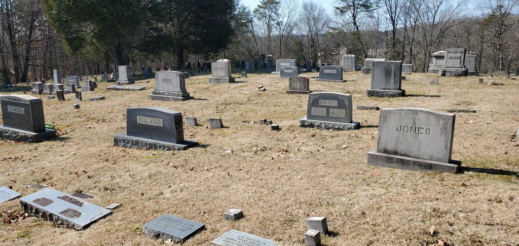
| Memorials | : | 1008 |
| Location | : | Friendsville, Blount County, USA |
| Coordinate | : | 35.7612991, -84.1373978 |
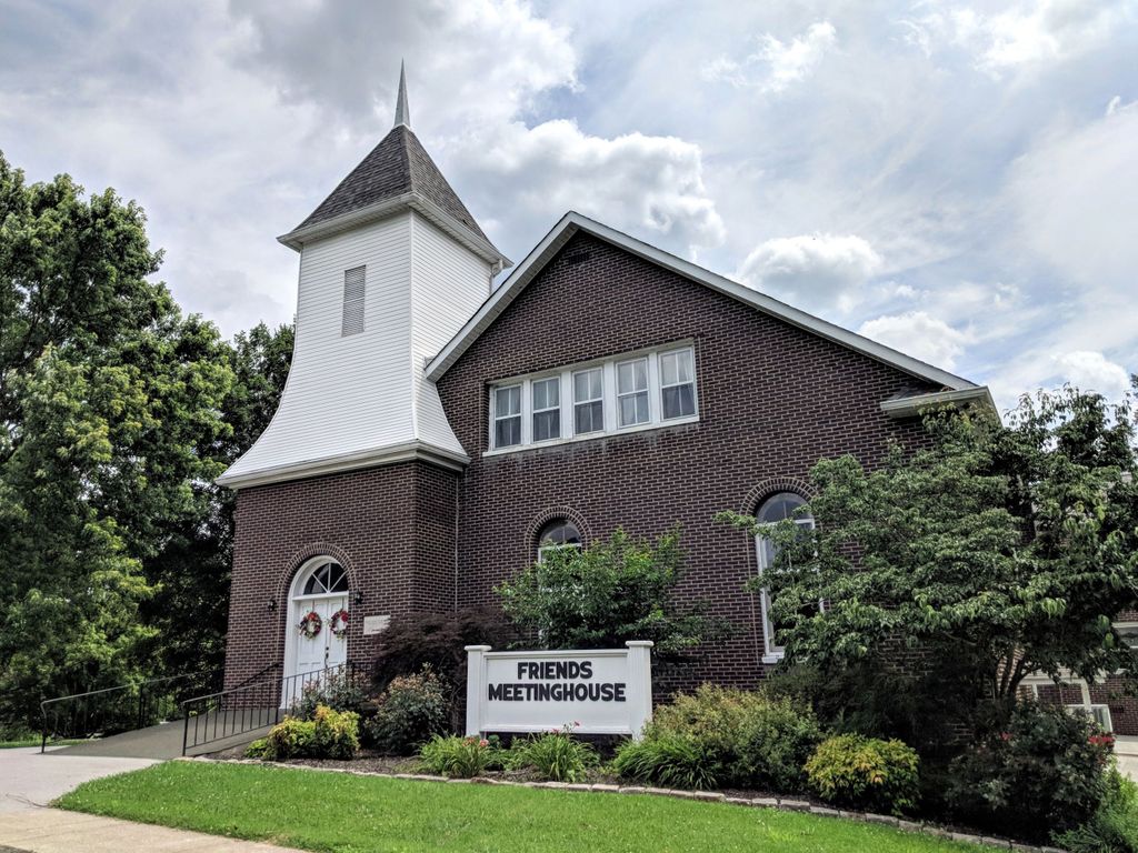
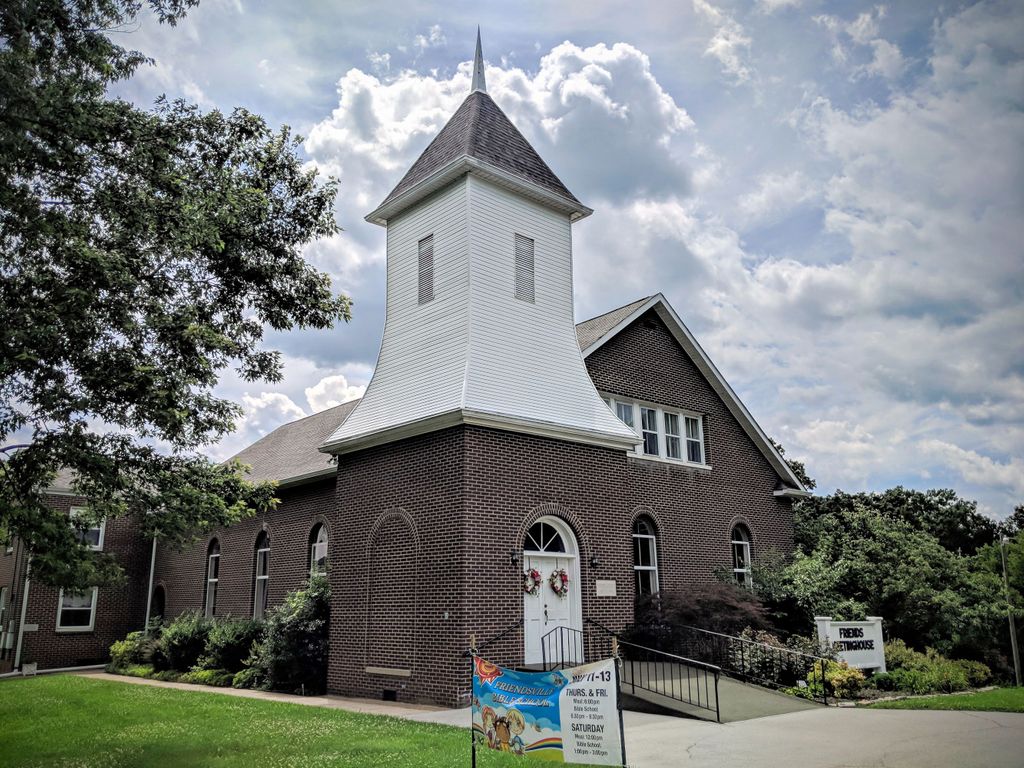
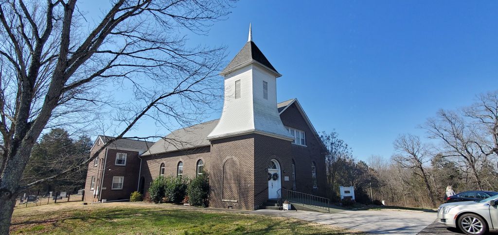
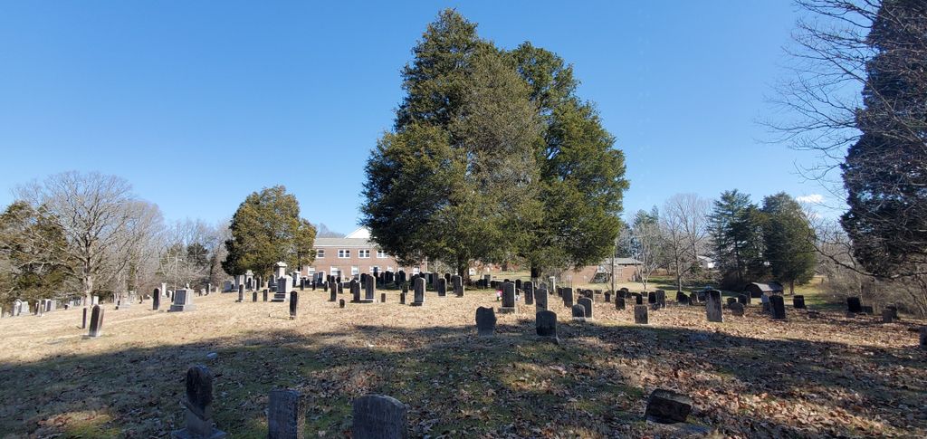
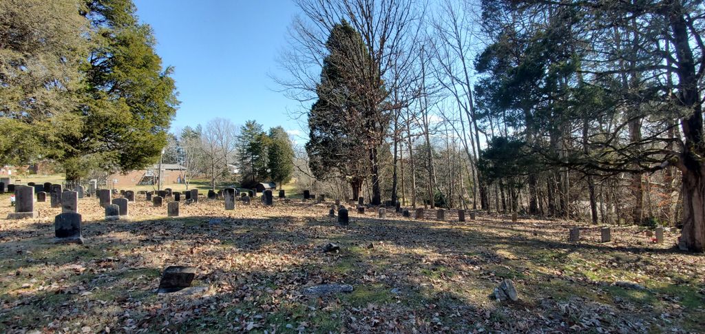
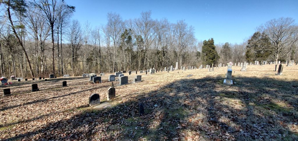
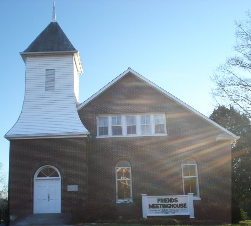
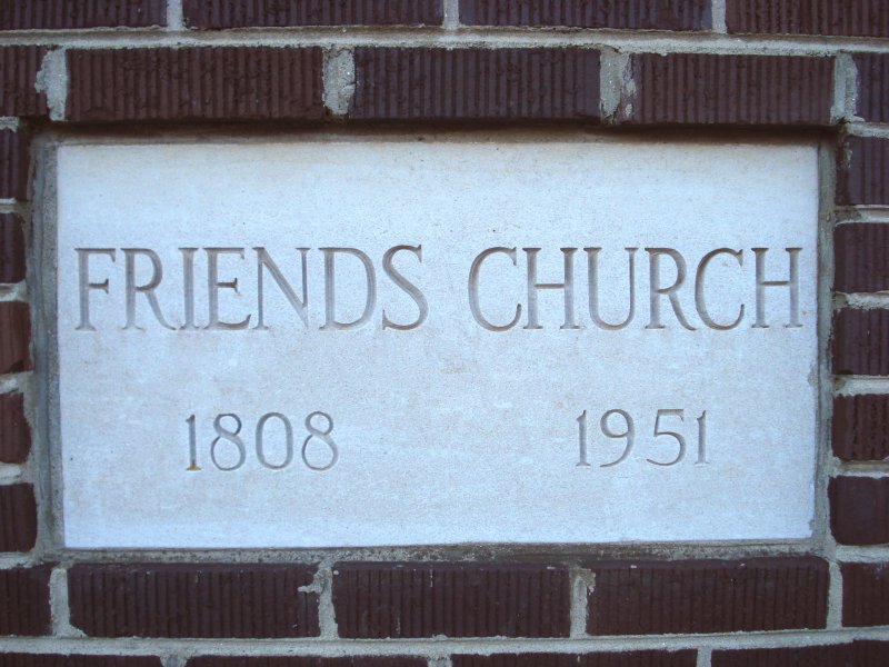
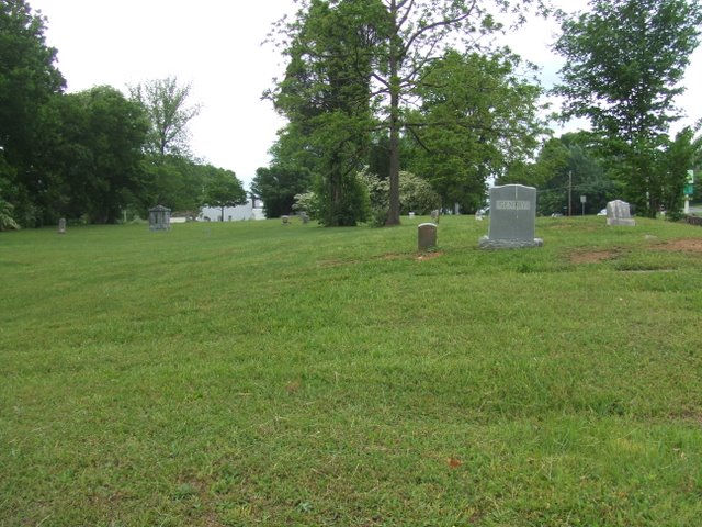
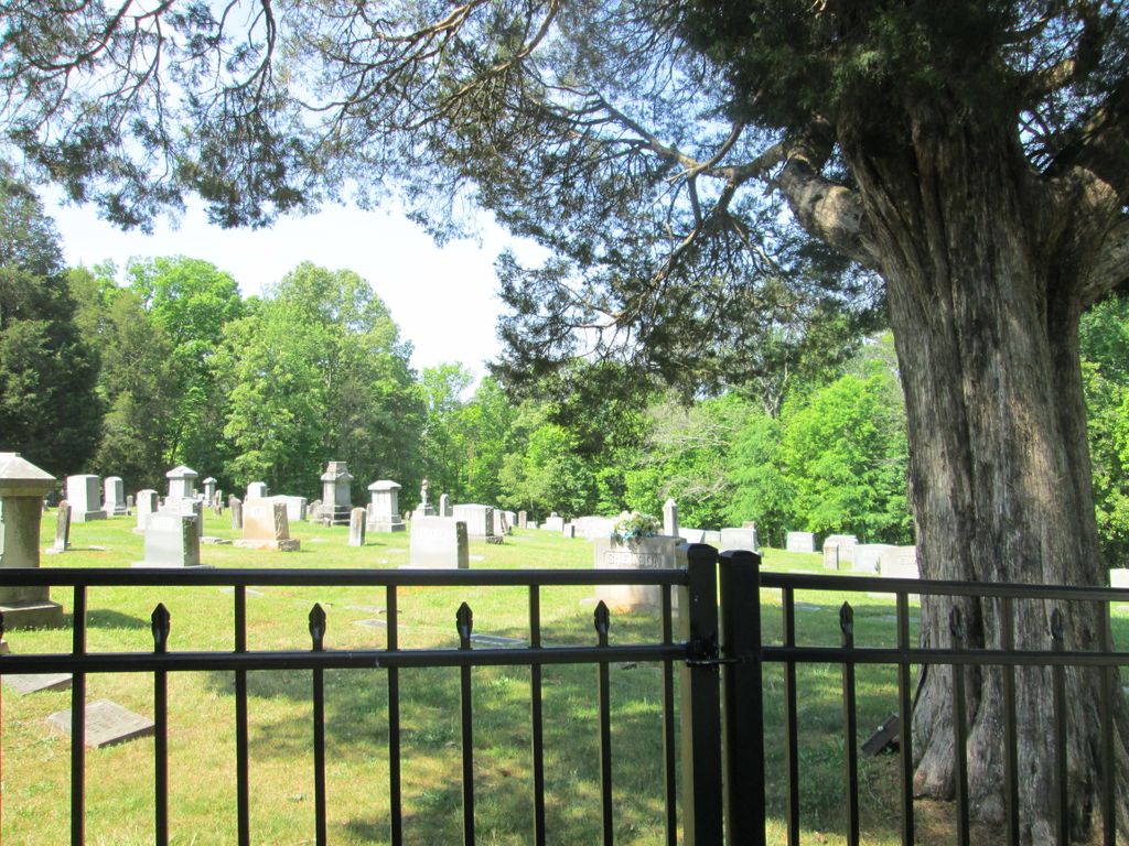
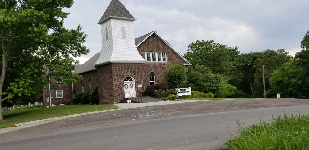
| Description | : | This is a Friends (Quaker) Meeting House with the cemetery located behind it. Not one single grave has ever been purchased. Originally established in 1801 as the Newberry Preparative Meeting. In 1875 it was changed to Friends. The Meeting House has sat on three different locations on the property. The current Meeting House was built from 1871 through 1878. In 1951 the white framed building was bricked and the interior refurbished. An educational wing was also added. The Meeting House still has the pulley system in the attic that moved a partition that separated the men from the women... Read More |
frequently asked questions (FAQ):
-
Where is Friends Meeting House and Cemetery?
Friends Meeting House and Cemetery is located at 503 W. Hill Avenue Friendsville, Blount County ,Tennessee , 37737USA.
-
Friends Meeting House and Cemetery cemetery's updated grave count on graveviews.com?
1008 memorials
-
Where are the coordinates of the Friends Meeting House and Cemetery?
Latitude: 35.7612991
Longitude: -84.1373978
Nearby Cemetories:
1. Parkins Family Cemetery
Blount County, USA
Coordinate: 35.7401800, -84.1164000
2. Ish Cemetery
Blount County, USA
Coordinate: 35.7921982, -84.1446991
3. Unitia Cemetery
Unitia, Loudon County, USA
Coordinate: 35.7491989, -84.1750031
4. Leeper Cemetery
Loudon County, USA
Coordinate: 35.7607994, -84.1791992
5. Rescue Baptist Church Cemetery
Friendsville, Blount County, USA
Coordinate: 35.7724200, -84.0962700
6. Unitia Campground Cemetery
Loudon County, USA
Coordinate: 35.7484741, -84.1787415
7. Union Grove Methodist Cemetery
Friendsville, Blount County, USA
Coordinate: 35.7531000, -84.0931000
8. Prater Cemetery
Loudon County, USA
Coordinate: 35.7647018, -84.1881027
9. Marble Hill Missionary Baptist Church Cemetery
Friendsville, Blount County, USA
Coordinate: 35.7187770, -84.1406850
10. Shady Grove Cemetery
Miser Station, Blount County, USA
Coordinate: 35.7738991, -84.0858002
11. Zion Chapel Cemetery
Louisville, Blount County, USA
Coordinate: 35.7963982, -84.1046982
12. Big Spring Presbyterian Church Cemetery
Friendsville, Blount County, USA
Coordinate: 35.7271996, -84.1027985
13. Hickory Valley Cemetery
Unitia, Loudon County, USA
Coordinate: 35.7409134, -84.1890564
14. Early Cemetery
Knox County, USA
Coordinate: 35.8081017, -84.1474991
15. Hackney Chapel Cemetery
Unitia, Loudon County, USA
Coordinate: 35.7441406, -84.1980820
16. Davis Cemetery
Blount County, USA
Coordinate: 35.7943993, -84.0817032
17. Keener Cemetery
Loudon County, USA
Coordinate: 35.8059700, -84.1822800
18. Cox Cemetery
Blount County, USA
Coordinate: 35.8074989, -84.0860977
19. Cloyds Creek Cemetery
Blount County, USA
Coordinate: 35.6981010, -84.1605988
20. Salem Baptist Church Cemetery
Blount County, USA
Coordinate: 35.6982994, -84.1014023
21. Mount Zion Baptist Church Cemetery
Maryville, Blount County, USA
Coordinate: 35.7698000, -84.0509900
22. Long Tom Cemetery
Concord, Knox County, USA
Coordinate: 35.8269005, -84.1703033
23. Holston College Cemetery
Louisville, Blount County, USA
Coordinate: 35.8319016, -84.1108017
24. Middlesettlements Cemetery
Middle Settlement, Blount County, USA
Coordinate: 35.7963982, -84.0560989