
| Memorials | : | 0 |
| Location | : | Tredegar, Calhoun County, USA |
| Coordinate | : | 33.8311119, -85.7988892 |
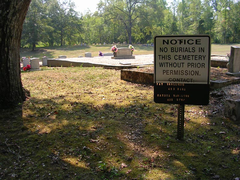
| Description | : | LOCATION: Friendship Baptist Church Cemetery is located at the intersection of Roy Parris Road and Boozer Lake Road. HISTORY: The Friendship Baptist Church Cemetery is the old Walnut Springs Baptist Church Cemetery. The Walnut Springs Baptist Church burned down and the cemetery remained. The cemetery is on the land granted by Phillip and Courtney Roberts Sieber in 1836. DIRECTIONS: From Jacksonville, travel north on Highway 21/Pelham Road. Turn left (west) on Nisbet Street NW/Highway 204, then turn right (north) on Nisbet Lake Road/County Road 37. At the intersection of Carpenters Lane and Boozer Lake Road/County Road 77,... Read More |
frequently asked questions (FAQ):
-
Where is Friendship Baptist Church Cemetery?
Friendship Baptist Church Cemetery is located at Boozer Lake Road Tredegar, Calhoun County ,Alabama , 36265USA.
-
Friendship Baptist Church Cemetery cemetery's updated grave count on graveviews.com?
0 memorials
-
Where are the coordinates of the Friendship Baptist Church Cemetery?
Latitude: 33.8311119
Longitude: -85.7988892
Nearby Cemetories:
1. West Point Baptist Church Cemetery
West Point, Calhoun County, USA
Coordinate: 33.8302116, -85.8058014
2. Driskell Cemetery
Jacksonville, Calhoun County, USA
Coordinate: 33.8219490, -85.7888350
3. Munger Cemetery
Calhoun County, USA
Coordinate: 33.8417015, -85.7855988
4. Moore Cemetery
West Point, Calhoun County, USA
Coordinate: 33.8442001, -85.8091965
5. Monger Cemetery
Tredegar, Calhoun County, USA
Coordinate: 33.8419800, -85.7845500
6. Greenlawn Cemetery
Jacksonville, Calhoun County, USA
Coordinate: 33.8252983, -85.7722015
7. Hillcrest Cemetery
Jacksonville, Calhoun County, USA
Coordinate: 33.8217010, -85.7724991
8. Carpenter Cemetery
Jacksonville, Calhoun County, USA
Coordinate: 33.8405991, -85.7707977
9. Cross Cemetery
Angel, Calhoun County, USA
Coordinate: 33.8327200, -85.8317600
10. Jacksonville City Cemetery
Jacksonville, Calhoun County, USA
Coordinate: 33.8071900, -85.7578800
11. Pleasant Valley Baptist Church Cemetery
Angel, Calhoun County, USA
Coordinate: 33.8704147, -85.8248520
12. McGinnis Cemetery
Cedar Springs, Calhoun County, USA
Coordinate: 33.8070107, -85.8458481
13. Broughton Cemetery
Cedar Springs, Calhoun County, USA
Coordinate: 33.8190010, -85.8559630
14. McCain Cemetery
Jacksonville, Calhoun County, USA
Coordinate: 33.8546982, -85.7455978
15. Seven Springs Cemetery
Jacksonville, Calhoun County, USA
Coordinate: 33.8480988, -85.8574982
16. Seiber Cemetery
Jacksonville, Calhoun County, USA
Coordinate: 33.8786812, -85.8241653
17. Unity Cemetery at Church of Nine Gifts
Calhoun County, USA
Coordinate: 33.8678240, -85.8466060
18. Green Cemetery
Merrellton, Calhoun County, USA
Coordinate: 33.8706551, -85.7455215
19. Merrellton Union Baptist Cemetery
Merrellton, Calhoun County, USA
Coordinate: 33.8688011, -85.7413025
20. Wellborn Cemetery
Wellborn, Calhoun County, USA
Coordinate: 33.8694000, -85.7388992
21. Post Oak Springs Baptist Church Cemetery
Jacksonville, Calhoun County, USA
Coordinate: 33.7956009, -85.8628006
22. Weaver Family Cemetery
Alexandria, Calhoun County, USA
Coordinate: 33.7728615, -85.8316422
23. Bonds and Sims Resting Place
Weaver, Calhoun County, USA
Coordinate: 33.7658700, -85.8029900
24. Community Congregational Holiness Church Cemetery
Merrellton, Calhoun County, USA
Coordinate: 33.8685989, -85.7319031