
| Memorials | : | 17 |
| Location | : | Baker, Hardy County, USA |
| Coordinate | : | 39.0234300, -78.7691900 |
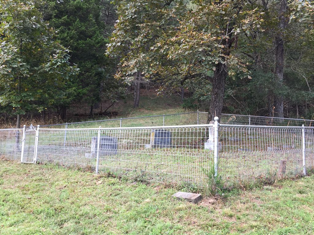
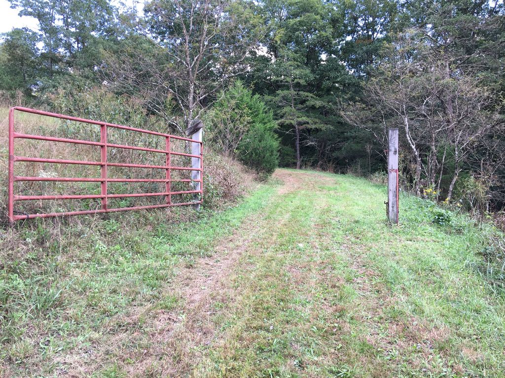
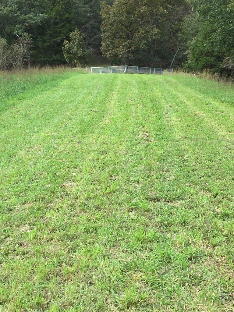
| Description | : | At Baker on CR 55, turn south onto WV 259, go 2.4 miles, turn right onto CR 259/1(Grover Smith Road), go 0.4 miles, bear right onto CR 259/9 (Funkhouser Road), go 0.1 miles, make a U-turn to the right and go 0.1 miles up the hill to the left. The cemetery is fenced on the hill. AKA: Eli Funkhouser Cemetery (N39º 01.405' & W078º 46.153') ELI FUNKHOUSER CEMETERY (71a) (N39º 01.405’ & W078º 46.153’) – At Baker on CR 55, turn south onto WV 259, go 2.4 miles, turn right onto CR 259/1(Grover Smith Road), go 0.4 miles, bear right onto CR 259/9 (Funkhouser... Read More |
frequently asked questions (FAQ):
-
Where is Funkhouser Family Cemetery?
Funkhouser Family Cemetery is located at Grover Smith Road Baker, Hardy County ,West Virginia ,USA.
-
Funkhouser Family Cemetery cemetery's updated grave count on graveviews.com?
17 memorials
-
Where are the coordinates of the Funkhouser Family Cemetery?
Latitude: 39.0234300
Longitude: -78.7691900
Nearby Cemetories:
1. Sisler Cemetery
Baker, Hardy County, USA
Coordinate: 39.0277900, -78.7738000
2. Inskeep Cemetery
Baker, Hardy County, USA
Coordinate: 39.0239300, -78.7590900
3. Funkhouser - Link Cemetery
Baker, Hardy County, USA
Coordinate: 39.0141000, -78.7874900
4. Mount Moriah Lutheran Church Cemetery
Baughman Settlement, Hardy County, USA
Coordinate: 39.0136500, -78.7427500
5. Baker United Methodist Church Cemetery
Baker, Hardy County, USA
Coordinate: 39.0472400, -78.7669500
6. Hisghman Cemetery
Baughman Settlement, Hardy County, USA
Coordinate: 39.0119800, -78.7413900
7. Combs Family Cemetery
Needmore, Hardy County, USA
Coordinate: 39.0409830, -78.7939940
8. Baker Run Cemetery
Baker, Hardy County, USA
Coordinate: 39.0421390, -78.7405740
9. Funkhouser - Miller Cemetery
Baker, Hardy County, USA
Coordinate: 39.0016000, -78.7963900
10. Combs and Coby Cemetery
Lost River, Hardy County, USA
Coordinate: 39.0140390, -78.8118500
11. Bradfield Cemetery
Needmore, Hardy County, USA
Coordinate: 39.0152700, -78.8233100
12. Pine Grove Cemetery
Needmore, Hardy County, USA
Coordinate: 39.0521500, -78.8123600
13. Funkhouser Cemetery
Needmore, Hardy County, USA
Coordinate: 39.0111000, -78.8250800
14. Salem Mennonite Church Cemetery
Baker, Hardy County, USA
Coordinate: 39.0108100, -78.8257300
15. Taafe Cemetery
Baker, Hardy County, USA
Coordinate: 39.0595600, -78.7280400
16. Pharoah Wilkins Cemetery
Needmore, Hardy County, USA
Coordinate: 39.0041900, -78.8307400
17. David Barbe Cemetery
Lost River, Hardy County, USA
Coordinate: 38.9736100, -78.7389700
18. Zion Lutheran Church Cemetery
Arkansas, Hardy County, USA
Coordinate: 39.0736200, -78.7302000
19. New Dale Cemetery
Hardy County, USA
Coordinate: 38.9963989, -78.8383026
20. Teets-Wilson Cemetery
Lost River, Hardy County, USA
Coordinate: 38.9626430, -78.7770140
21. Job Wilkins Cemetery
Needmore, Hardy County, USA
Coordinate: 39.0225600, -78.8506400
22. Deitz Family Cemetery
Perry, Hardy County, USA
Coordinate: 38.9991200, -78.6917500
23. George Washington Heishman Cemetery
Lost City, Hardy County, USA
Coordinate: 39.0196600, -78.6843700
24. Wilkins Cemetery
Lost River, Hardy County, USA
Coordinate: 38.9829000, -78.8389100