| Memorials | : | 0 |
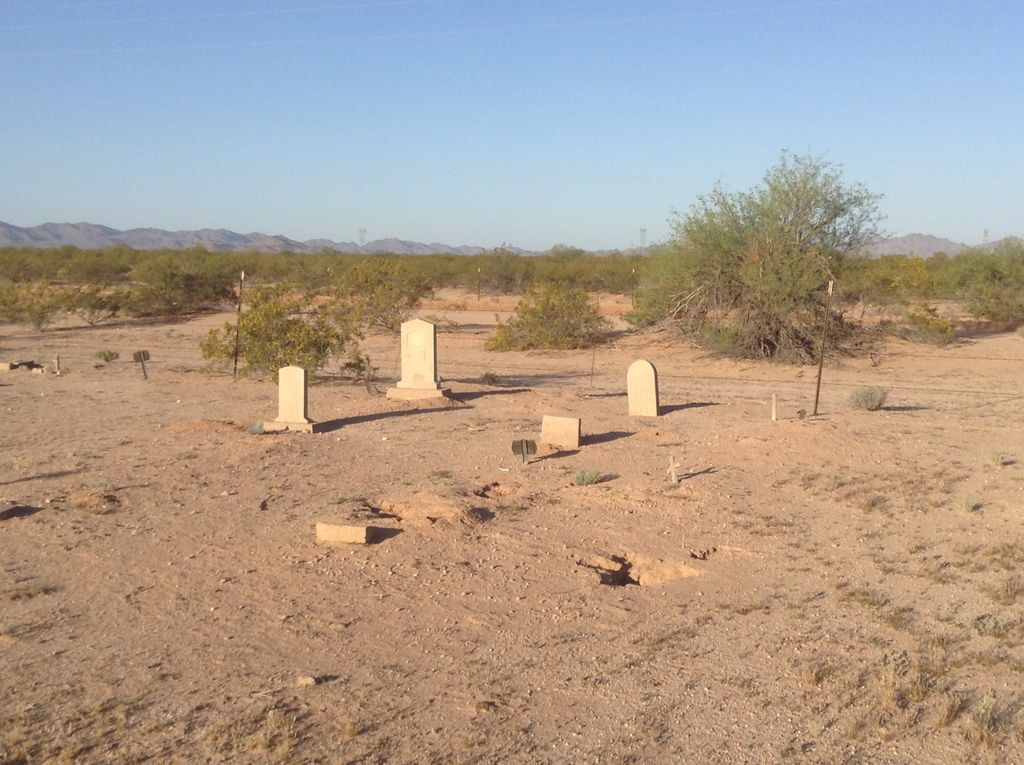
| Location | : | Moivayi, Maricopa County, USA |
| Coordinate | : | 33.0650000, -112.2714000 |
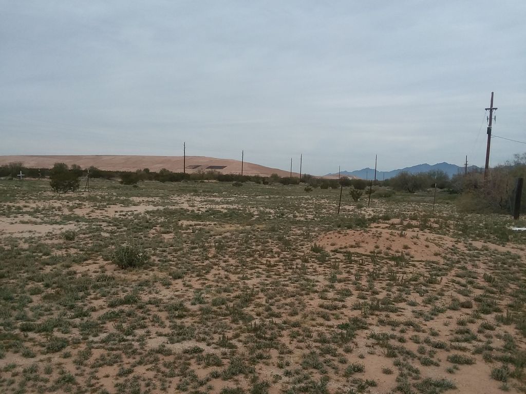
| Description | : | Off highway 238, near Mobile Elementary School in Mobile, AZ. |
frequently asked questions (FAQ):
-
Where is Galilee Baptist Church Cemetery?
Galilee Baptist Church Cemetery is located at 99th Avenue Moivayi, Maricopa County ,Arizona , 85239USA.
-
Galilee Baptist Church Cemetery cemetery's updated grave count on graveviews.com?
0 memorials
-
Where are the coordinates of the Galilee Baptist Church Cemetery?
Latitude: 33.0650000
Longitude: -112.2714000
Nearby Cemetories:
1. Al Rahma Muslim Cemetery
Maricopa County, USA
Coordinate: 33.0754972, -112.1915916
2. Ak-Chin Cemetery
Ak Chin Indian Community, Pinal County, USA
Coordinate: 33.0303000, -112.0740000
3. Gila Crossing Cemetery
Laveen, Maricopa County, USA
Coordinate: 33.2729370, -112.1650410
4. Saint Johns Cemetery
Laveen, Maricopa County, USA
Coordinate: 33.2960480, -112.1736150
5. Cowboy Cemetery
Sacate, Pinal County, USA
Coordinate: 33.1408400, -111.9776700
6. Bosque Cemetery
Maricopa County, USA
Coordinate: 32.9738998, -112.5627975
7. Co-op Village Cemetery
Maricopa Village, Maricopa County, USA
Coordinate: 33.3272018, -112.1911011
8. Maricopa Cemetery
Laveen, Maricopa County, USA
Coordinate: 33.3633003, -112.2219009
9. Vah-Ki Cemetery
Casa Blanca, Pinal County, USA
Coordinate: 33.1175700, -111.9053300
10. Snaketown Cemetery
Santan, Pinal County, USA
Coordinate: 33.1822530, -111.9086410
11. Bapchule Cemetery
Bapchule, Pinal County, USA
Coordinate: 33.1367500, -111.8791200
12. Sand Trail Cemetery
Sweetwater, Pinal County, USA
Coordinate: 33.1284880, -111.8523050
13. Sun Lakes Methodist Church Columbarium
Sun Lakes, Maricopa County, USA
Coordinate: 33.2183800, -111.8829900
14. Liberty Cemetery
Liberty, Maricopa County, USA
Coordinate: 33.3732986, -112.4938965
15. Sweetwater Cemetery
Sweetwater, Pinal County, USA
Coordinate: 33.1319975, -111.8406922
16. Mountain View Lutheran Church Columbarium
Ahwatukee, Maricopa County, USA
Coordinate: 33.3465000, -111.9811000
17. Risen Savior Lutheran Church Columbarium
Chandler, Maricopa County, USA
Coordinate: 33.2296040, -111.8596590
18. Sotelo–Heard Ranch Cemetery
Phoenix, Maricopa County, USA
Coordinate: 33.4035260, -112.0536480
19. Hee-A-Han Park
Gila Bend, Maricopa County, USA
Coordinate: 32.9502983, -112.7146988
20. Valley of the Sun Mortuary and Cemetery
Chandler, Maricopa County, USA
Coordinate: 33.2330818, -111.8478851
21. Goodyear-Ocotillo Cemetery
Chandler, Maricopa County, USA
Coordinate: 33.2360992, -111.8486023
22. Saint James Episcopal Church Memorial Garden
Tempe, Maricopa County, USA
Coordinate: 33.3343160, -111.9274950
23. Cementerio Lindo
Phoenix, Maricopa County, USA
Coordinate: 33.4304390, -112.0925598
24. Beth Israel Cemetery
Phoenix, Maricopa County, USA
Coordinate: 33.4444008, -112.1327972


