| Memorials | : | 0 |
| Location | : | Geyer, Auglaize County, USA |
| Coordinate | : | 40.5085983, -84.0599976 |
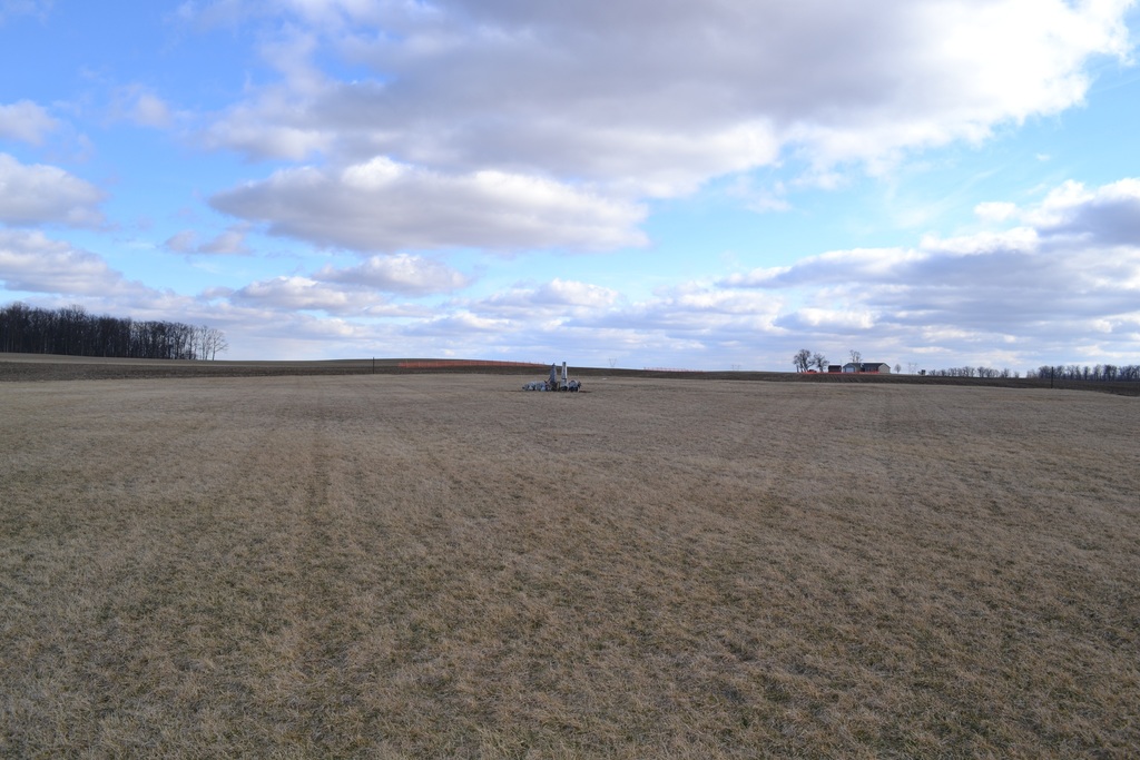
| Description | : | The cemetery is located on the south side of Geyer Drive (County Road 108A) about 0.1 miles east of its intersection with Maple Street. The cemetery is located in Clay Township, Auglaize County, Ohio, and is # 753 (George Geyer Cemetery / Geyer Cemetery / German Methodist Cemetery) in “Ohio Cemeteries 1803-2003”, compiled by the Ohio Genealogical Society. The U.S. Geological Survey (USGS) Geographic Names Information System (GNIS) feature ID for the cemetery is 1955098 (Geyer Cemetery / George Geyer Cemetery / German Methodist Cemetery). |
frequently asked questions (FAQ):
-
Where is Geyer Cemetery?
Geyer Cemetery is located at GeyerDrive (County Road 108A) Geyer, Auglaize County ,Ohio , 45895USA.
-
Geyer Cemetery cemetery's updated grave count on graveviews.com?
0 memorials
-
Where are the coordinates of the Geyer Cemetery?
Latitude: 40.5085983
Longitude: -84.0599976
Nearby Cemetories:
1. Saint Mark Lutheran Cemetery
Geyer, Auglaize County, USA
Coordinate: 40.5036000, -84.0781000
2. Mount Tabor Cemetery
Wapakoneta, Auglaize County, USA
Coordinate: 40.5200005, -84.0385971
3. Saint Jacob Lutheran Cemetery
Jackson Township, Shelby County, USA
Coordinate: 40.4650500, -84.0971700
4. Saint Johns Cemetery
Wapakoneta, Auglaize County, USA
Coordinate: 40.5573738, -84.0834331
5. Elliott Cemetery
Jackson Center, Shelby County, USA
Coordinate: 40.4539990, -84.0659900
6. Lockhart Cemetery
Auglaize County, USA
Coordinate: 40.5674200, -84.0803600
7. McKinon Cemetery
Stokes Township, Logan County, USA
Coordinate: 40.4831907, -83.9839752
8. Saint Lawrence Cemetery
Botkins, Shelby County, USA
Coordinate: 40.4678001, -84.1258011
9. Saint Johns Cemetery
Fryburg, Auglaize County, USA
Coordinate: 40.5175018, -84.1449966
10. Reinhart Cemetery
Auglaize County, USA
Coordinate: 40.5671997, -84.1078033
11. Seventh Day Baptist Cemetery
Jackson Center, Shelby County, USA
Coordinate: 40.4392200, -84.0496600
12. Haruff Cemetery
Wapakoneta, Auglaize County, USA
Coordinate: 40.5553017, -84.1355972
13. Pleasant Hill Cemetery
Jackson Center, Shelby County, USA
Coordinate: 40.4393997, -84.0199966
14. Old Saint Johns Cemetery
Wapakoneta, Auglaize County, USA
Coordinate: 40.5264015, -84.1577988
15. Wesley Chapel Cemetery
Wayne Township, Auglaize County, USA
Coordinate: 40.5833015, -84.0322037
16. Petersburg Cemetery
Wapakoneta, Auglaize County, USA
Coordinate: 40.4985290, -84.1630490
17. Howell Cemetery
Montra, Shelby County, USA
Coordinate: 40.4323800, -84.0896990
18. Saint Johns Lutheran Church Cemetery
Wapakoneta, Auglaize County, USA
Coordinate: 40.5264000, -84.1633000
19. Emanuel Lutheran Church Cemetery
Montra, Shelby County, USA
Coordinate: 40.4318840, -84.0932880
20. Presser United Brethren in Christ Church Cemetery
Uniopolis, Auglaize County, USA
Coordinate: 40.5815950, -84.1077020
21. Keller Cemetery
Wapakoneta, Auglaize County, USA
Coordinate: 40.5392630, -84.1662010
22. Saint Joseph Cemetery
Wapakoneta, Auglaize County, USA
Coordinate: 40.5572014, -84.1628036
23. Long Cemetery
Anna, Shelby County, USA
Coordinate: 40.4386460, -84.1393810
24. Mount Lookout Cemetery
Waynesfield, Auglaize County, USA
Coordinate: 40.5990910, -84.0272180

