| Memorials | : | 19 |
| Location | : | Stockbridge, Berkshire County, USA |
| Coordinate | : | 42.3385100, -73.3072000 |
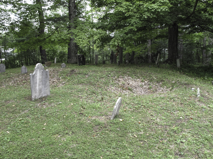
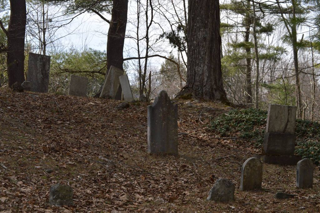
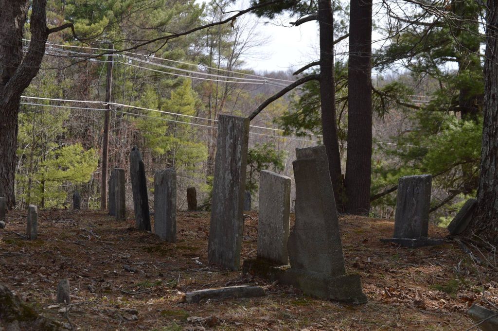
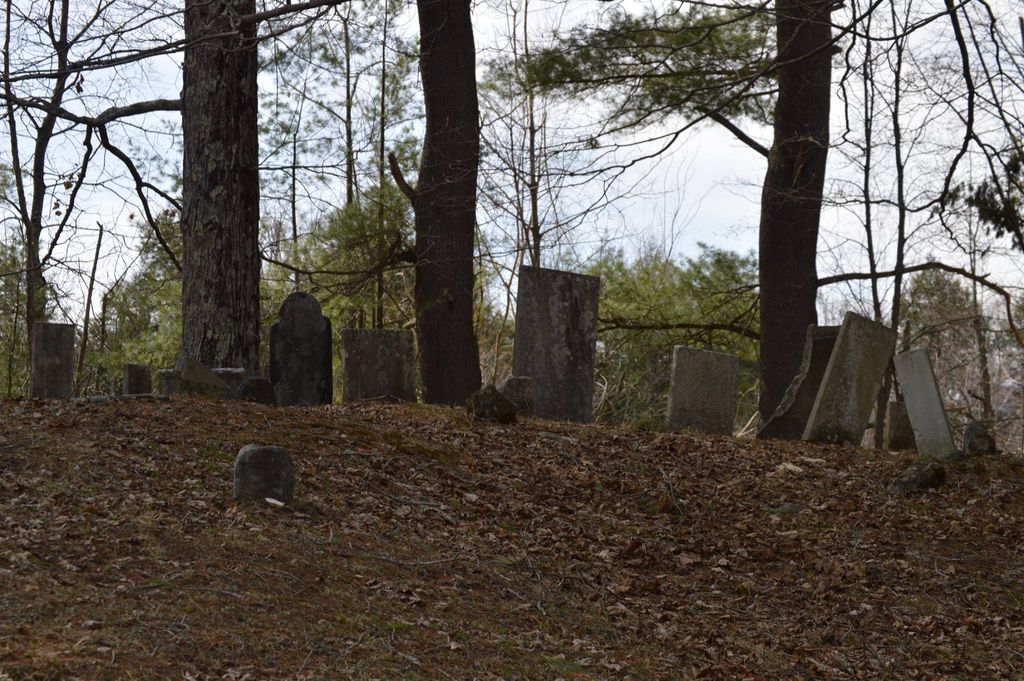
| Description | : | This cemetery was established in 1782 when Gideon Smith set the land aside. The "History of Berkshire County" tells the story of this Tory and his hanging during the American Revolution. He is not among the 22 known burials in the cemetery that bears his name, and his burial location is not known. The cemetery has been owned by the town of Stockbridge since 1953. It is identified by the town Assessors on map 204 lot 2. The Massachusetts Historical Commission refers to this cemetery in MACRIS as STO803. |
frequently asked questions (FAQ):
-
Where is Gideon Smith Cemetery?
Gideon Smith Cemetery is located at Mahkeenac Street Stockbridge, Berkshire County ,Massachusetts ,USA.
-
Gideon Smith Cemetery cemetery's updated grave count on graveviews.com?
19 memorials
-
Where are the coordinates of the Gideon Smith Cemetery?
Latitude: 42.3385100
Longitude: -73.3072000
Nearby Cemetories:
1. Bellefontaine Burial Ground
Lenox, Berkshire County, USA
Coordinate: 42.3446600, -73.2819400
2. Mount Pet Cemetery
Lenox, Berkshire County, USA
Coordinate: 42.3317930, -73.2814800
3. Trinity Parish Columbarium
Lenox, Berkshire County, USA
Coordinate: 42.3546700, -73.2817900
4. Saint Anns Cemetery
Lenox, Berkshire County, USA
Coordinate: 42.3582993, -73.2791977
5. Church On the Hill Cemetery
Lenox, Berkshire County, USA
Coordinate: 42.3637199, -73.2826614
6. Saint Marys Cemetery
Lee, Berkshire County, USA
Coordinate: 42.3083000, -73.2639008
7. Mountain View Cemetery
Lenox, Berkshire County, USA
Coordinate: 42.3527985, -73.2472000
8. Marian Community Cemetery
Stockbridge, Berkshire County, USA
Coordinate: 42.2890053, -73.3094788
9. Cone Hill Cemetery
Richmond, Berkshire County, USA
Coordinate: 42.3581009, -73.3688965
10. Choate Family Pet Cemetery
Stockbridge, Berkshire County, USA
Coordinate: 42.2890400, -73.3157600
11. Saint Joseph's Cemetery
Stockbridge, Berkshire County, USA
Coordinate: 42.2860985, -73.3221970
12. Stockbridge Cemetery
Stockbridge, Berkshire County, USA
Coordinate: 42.2855988, -73.3193970
13. West Stockbridge Cemetery
West Stockbridge, Berkshire County, USA
Coordinate: 42.3485985, -73.3792038
14. Burghardt Cemetery
Richmond, Berkshire County, USA
Coordinate: 42.3705400, -73.3672700
15. Stockbridge Indians Ancient Burial Site
Stockbridge, Berkshire County, USA
Coordinate: 42.2841774, -73.3228880
16. Saint Pauls Episcopal Church Memorial Garden
Stockbridge, Berkshire County, USA
Coordinate: 42.2824500, -73.3115000
17. Saint Patricks Cemetery
West Stockbridge, Berkshire County, USA
Coordinate: 42.3507309, -73.3841934
18. Saint Joseph's Church Grounds
Stockbridge, Berkshire County, USA
Coordinate: 42.2801250, -73.3105840
19. Fairmount Cemetery
Lee, Berkshire County, USA
Coordinate: 42.3002000, -73.2395800
20. South Cemetery
West Stockbridge, Berkshire County, USA
Coordinate: 42.2902790, -73.3753680
21. Northeast Cemetery
Richmond, Berkshire County, USA
Coordinate: 42.4081001, -73.3153000
22. Center Cemetery
Richmond, Berkshire County, USA
Coordinate: 42.3993988, -73.3666992
23. New Lenox Cemetery
Lenox, Berkshire County, USA
Coordinate: 42.3925018, -73.2341995
24. South Lee Cemetery
Lee, Berkshire County, USA
Coordinate: 42.2717018, -73.2556000


