
| Memorials | : | 64 |
| Location | : | West Stockbridge, Berkshire County, USA |
| Coordinate | : | 42.3485985, -73.3792038 |
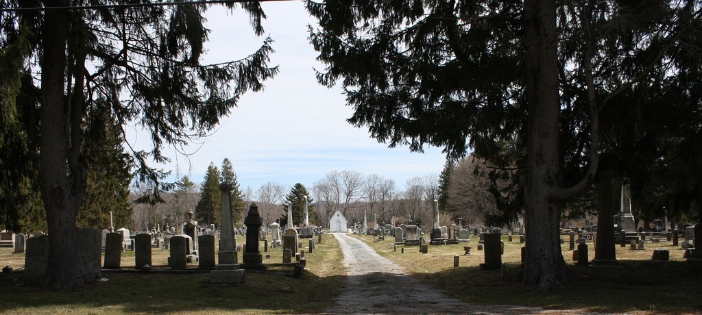
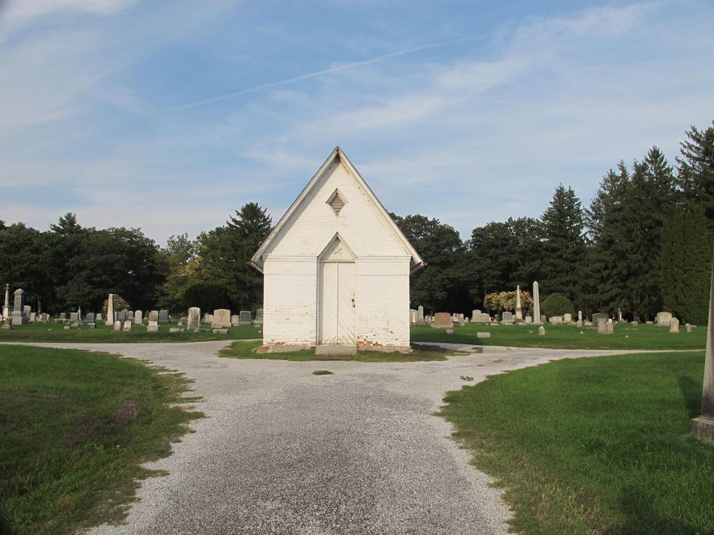
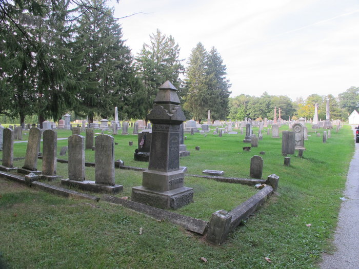
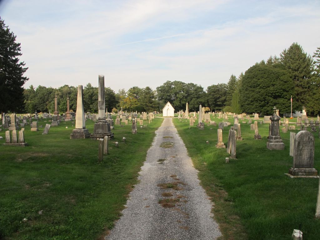
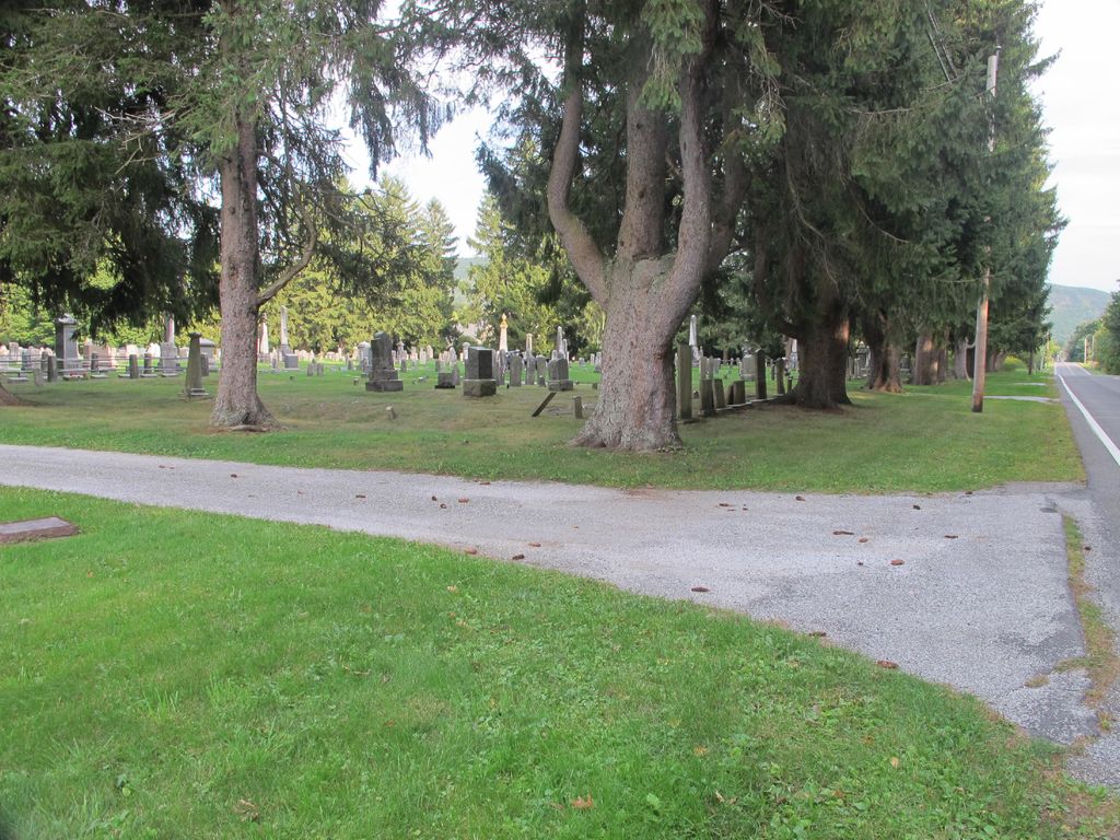
| Description | : | This is a town-owned cemetery, established in 1847. This cemetery is southeast of Saint Patricks Cemetery, also on Albany Road. The Massachusetts Historical Commission refers to this cemetery in MACRIS as WSK801. The "unique identifier" is shared with the Saint Patricks Cemetery. This burial place is referenced to in the book "Vital Records of West Stockbridge, Massachusetts to 1850" Published by: New England Historic Genealogical Society as G.R.3. |
frequently asked questions (FAQ):
-
Where is West Stockbridge Cemetery?
West Stockbridge Cemetery is located at Albany Road (Route 41) West Stockbridge, Berkshire County ,Massachusetts ,USA.
-
West Stockbridge Cemetery cemetery's updated grave count on graveviews.com?
64 memorials
-
Where are the coordinates of the West Stockbridge Cemetery?
Latitude: 42.3485985
Longitude: -73.3792038
Nearby Cemetories:
1. Saint Patricks Cemetery
West Stockbridge, Berkshire County, USA
Coordinate: 42.3507309, -73.3841934
2. Cone Hill Cemetery
Richmond, Berkshire County, USA
Coordinate: 42.3581009, -73.3688965
3. Burghardt Cemetery
Richmond, Berkshire County, USA
Coordinate: 42.3705400, -73.3672700
4. Flatbrook Cemetery
Flatbrook, Columbia County, USA
Coordinate: 42.3786125, -73.4276352
5. West Center Cemetery
West Stockbridge, Berkshire County, USA
Coordinate: 42.3055992, -73.4041977
6. Center Cemetery
Richmond, Berkshire County, USA
Coordinate: 42.3993988, -73.3666992
7. Steepletop Cemetery
Austerlitz, Columbia County, USA
Coordinate: 42.3235130, -73.4420080
8. Gideon Smith Cemetery
Stockbridge, Berkshire County, USA
Coordinate: 42.3385100, -73.3072000
9. Fog Hill Road Burying Ground
Austerlitz, Columbia County, USA
Coordinate: 42.3412590, -73.4545059
10. South Cemetery
West Stockbridge, Berkshire County, USA
Coordinate: 42.2902790, -73.3753680
11. Queechy Cemetery
Canaan, Columbia County, USA
Coordinate: 42.4010201, -73.4202576
12. Brown Cemetery
Canaan, Columbia County, USA
Coordinate: 42.3717041, -73.4577255
13. Silas Parmalee Gravesite
Richmond, Berkshire County, USA
Coordinate: 42.4093400, -73.3507600
14. Fog Hill Cemetery
Austerlitz, Columbia County, USA
Coordinate: 42.3384514, -73.4731369
15. Canaan Cemetery
Canaan, Columbia County, USA
Coordinate: 42.3925018, -73.4558029
16. Bellefontaine Burial Ground
Lenox, Berkshire County, USA
Coordinate: 42.3446600, -73.2819400
17. Trinity Parish Columbarium
Lenox, Berkshire County, USA
Coordinate: 42.3546700, -73.2817900
18. Church On the Hill Cemetery
Lenox, Berkshire County, USA
Coordinate: 42.3637199, -73.2826614
19. North Cemetery
Richmond, Berkshire County, USA
Coordinate: 42.4155998, -73.3377991
20. Mount Pet Cemetery
Lenox, Berkshire County, USA
Coordinate: 42.3317930, -73.2814800
21. Saint Anns Cemetery
Lenox, Berkshire County, USA
Coordinate: 42.3582993, -73.2791977
22. Saint Joseph's Cemetery
Stockbridge, Berkshire County, USA
Coordinate: 42.2860985, -73.3221970
23. Choate Family Pet Cemetery
Stockbridge, Berkshire County, USA
Coordinate: 42.2890400, -73.3157600
24. Northeast Cemetery
Richmond, Berkshire County, USA
Coordinate: 42.4081001, -73.3153000