| Memorials | : | 211 |
| Location | : | Glenreagh, Clarence Valley Council, Australia |
| Coordinate | : | -30.0686470, 152.9795610 |
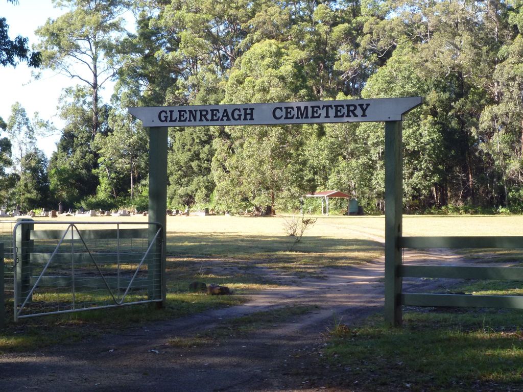
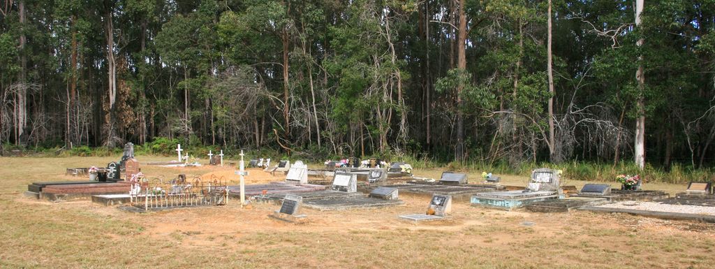
| Description | : | Address: Cemetery Road, Glenreagh, 2450, NSW. The Glenreagh Cemetery access lane runs south off Orana Way, 1.5km south of the village. "Glenreagh Cemetery appears to have been established around the time of World War 1 with inscriptions extant dating from 1916. The cemetery is divided into two widely separated portions - Catholic and Protestant. In recent years a small columbarium has been added, as yet little used. The grounds are fenced and well maintained by Clarence Valley Council. There are no amenities" Maureen Phipps |
frequently asked questions (FAQ):
-
Where is Glenreagh Cemetery?
Glenreagh Cemetery is located at Glenreagh, Clarence Valley Council ,New South Wales ,Australia.
-
Glenreagh Cemetery cemetery's updated grave count on graveviews.com?
211 memorials
-
Where are the coordinates of the Glenreagh Cemetery?
Latitude: -30.0686470
Longitude: 152.9795610
Nearby Cemetories:
1. Bucca Cemetery
Bucca, Coffs Harbour City, Australia
Coordinate: -30.1563310, 153.0905443
2. Coramba Cemetery
Coramba, Coffs Harbour City, Australia
Coordinate: -30.2166670, 153.0166670
3. Corindi Cemetery
Corindi, Coffs Harbour City, Australia
Coordinate: -30.0299590, 153.1761930
4. Woolgoolga Monumental & Lawn Cemetery
Woolgoolga, Coffs Harbour City, Australia
Coordinate: -30.1006600, 153.1946500
5. Coffs Harbour Lawn Cemetery
Karangi, Coffs Harbour City, Australia
Coordinate: -30.2547550, 153.0513360
6. Nymboida Cemetery
Nymboida, Clarence Valley Council, Australia
Coordinate: -29.9700150, 152.7278440
7. Coutts Crossing Cemetery
Coutts Crossing, Clarence Valley Council, Australia
Coordinate: -29.8312440, 152.8871770
8. Coffs Harbour Historic Cemetery
Coffs Harbour, Coffs Harbour City, Australia
Coordinate: -30.2984638, 153.1229401
9. Hogbin Drive Crematorium & Memorial Gardens
Coffs Harbour, Coffs Harbour City, Australia
Coordinate: -30.3238230, 153.0926100
10. Clarence Lawn Cemetery
South Grafton, Clarence Valley Council, Australia
Coordinate: -29.7673420, 152.9293470
11. St. Matthews Church Columbarium
South Grafton, Clarence Valley Council, Australia
Coordinate: -29.7181690, 152.9350340
12. South Grafton General Cemetery
South Grafton, Clarence Valley Council, Australia
Coordinate: -29.7169130, 152.9341400
13. Dorrigo General Cemetery
Dorrigo, Bellingen Shire, Australia
Coordinate: -30.3484990, 152.7178950
14. Bellingen General Cemetery
Bellingen, Bellingen Shire, Australia
Coordinate: -30.4393310, 152.9006330
15. Grafton General Cemetery
Grafton, Clarence Valley Council, Australia
Coordinate: -29.6774440, 152.9488920
16. Fernmount Cemetery
Fernmount, Bellingen Shire, Australia
Coordinate: -30.4729595, 152.9407959
17. Ulmarra General Cemetery
Ulmarra, Clarence Valley Council, Australia
Coordinate: -29.6521510, 153.0688990
18. Urunga Museum - Thrower Headstone
Urunga, Bellingen Shire, Australia
Coordinate: -30.4969460, 153.0219490
19. Urunga Cemetery
Urunga, Bellingen Shire, Australia
Coordinate: -30.5107589, 153.0196292
20. Ramornie Cemetery
Ramornie Works, Clarence Valley Council, Australia
Coordinate: -29.6465110, 152.8021110
21. Mylneford-Eatonsville Cemetery
Eatonsville, Clarence Valley Council, Australia
Coordinate: -29.6330180, 152.8391270
22. Dalmorton
Dalmorton, Clarence Valley Council, Australia
Coordinate: -29.8691360, 152.4879590
23. Copmanhurst Cemetery
Copmanhurst, Clarence Valley Council, Australia
Coordinate: -29.5833850, 152.7780100
24. Nambucca Heads Cemetery
Nambucca Heads, Nambucca Shire, Australia
Coordinate: -30.6330660, 153.0111240


