| Memorials | : | 9957 |
| Location | : | Manchester, Metropolitan Borough of Manchester, England |
| Coordinate | : | 53.4567080, -2.1632580 |
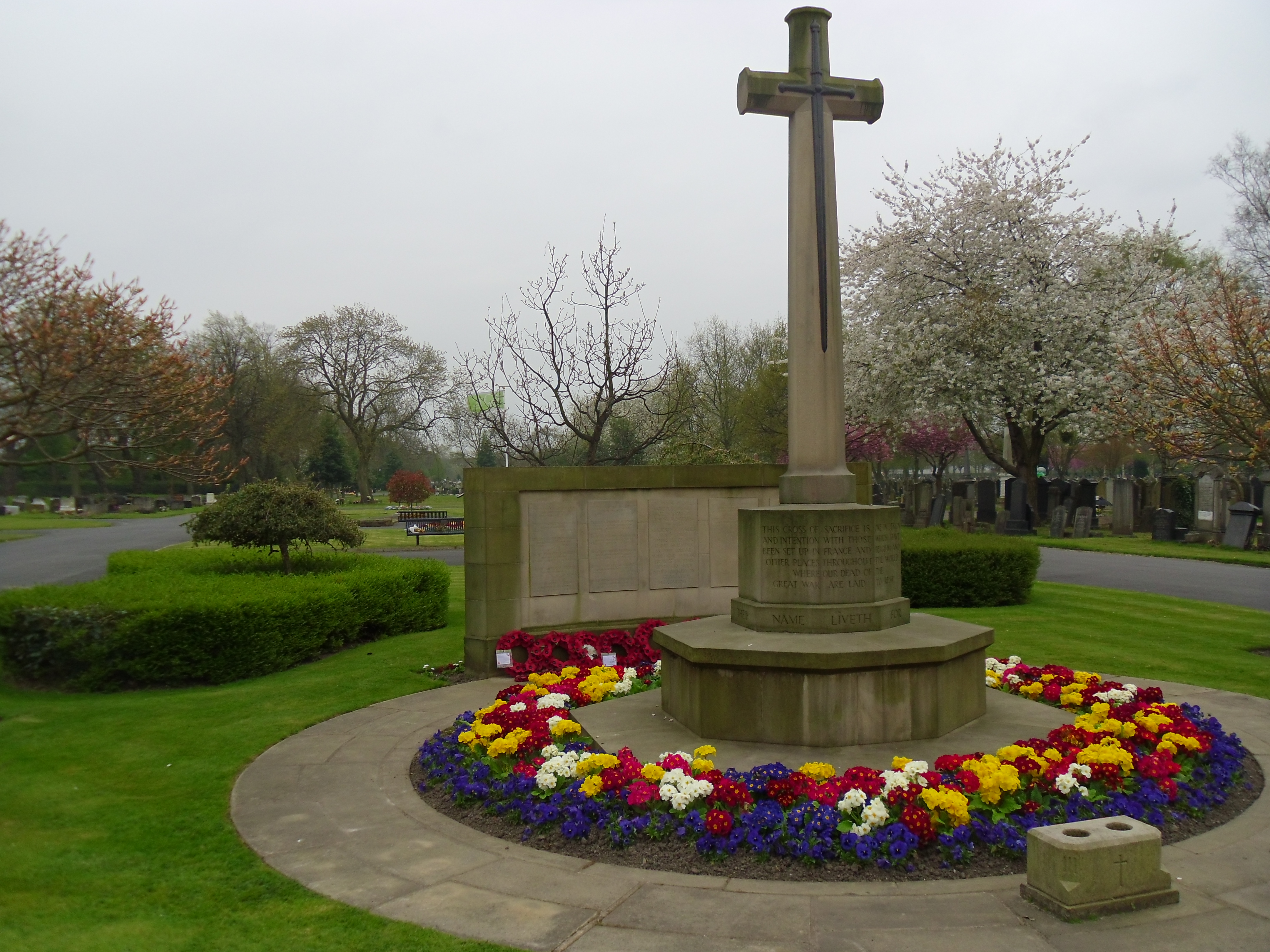
| Description | : | During the First World War, Manchester contained between thirty and forty war hospitals, including the 2nd Western General Hospital and the Nell Lane Military Hospital for prisoners of war. Many of those buried in the cemeteries and churchyards of the city died in these hospitals. During the Second World War, there was a Royal Air Force Station at Heaton Park, Manchester. There are now 69 First World War casualties and 88 from the Second World War buried or commemorated in Manchester (Gorton) Cemetery. The burials are scattered throughout the cemetery and a Screen Wall bears the names of 15 First World... Read More |
frequently asked questions (FAQ):
-
Where is Gorton Cemetery?
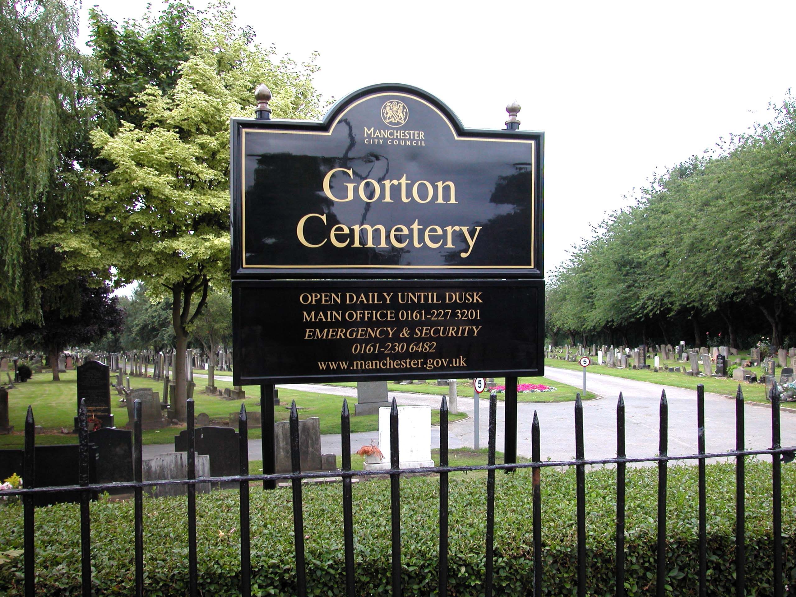
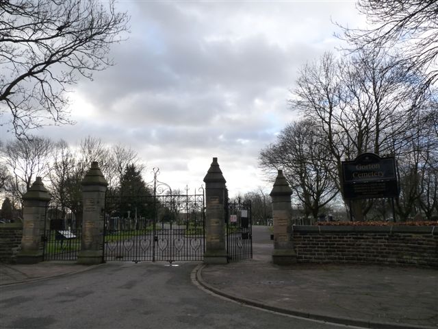
Gorton Cemetery is located at Thornwood Ave Manchester, Metropolitan Borough of Manchester ,Greater Manchester ,England.
-
Gorton Cemetery cemetery's updated grave count on graveviews.com?
9957 memorials
-
Where are the coordinates of the Gorton Cemetery?
Latitude: 53.4567080
Longitude: -2.1632580
Nearby Cemetories:
1. St Elisabeth Church
Reddish, Metropolitan Borough of Stockport, England
Coordinate: 53.4379400, -2.1633950
2. Former Saint Johns Churchyard
Longsight, Metropolitan Borough of Manchester, England
Coordinate: 53.4570760, -2.2025800
3. Christ Church Churchyard
Denton, Metropolitan Borough of Tameside, England
Coordinate: 53.4560270, -2.1218270
4. Saint Thomas the Apostle Heaton Chapel
Heaton Norris, Metropolitan Borough of Stockport, England
Coordinate: 53.4297783, -2.1797558
5. St Cross Churchyard
Clayton, Metropolitan Borough of Manchester, England
Coordinate: 53.4832190, -2.1823530
6. Droylsden Cemetery
Droylsden, Metropolitan Borough of Tameside, England
Coordinate: 53.4849400, -2.1529696
7. St Lawrence Church
Denton, Metropolitan Borough of Tameside, England
Coordinate: 53.4520000, -2.1109000
8. St James Churchyard
Rusholme, Metropolitan Borough of Manchester, England
Coordinate: 53.4490050, -2.2151450
9. Willow Grove Cemetery
Stockport, Metropolitan Borough of Stockport, England
Coordinate: 53.4252900, -2.1508100
10. Audenshaw Cemetery
Audenshaw, Metropolitan Borough of Tameside, England
Coordinate: 53.4653300, -2.1101560
11. All Saints Churchyard
Chorlton-on-Medlock, Metropolitan Borough of Manchester, England
Coordinate: 53.4666670, -2.2166670
12. Denton Cemetery
Denton, Metropolitan Borough of Tameside, England
Coordinate: 53.4424140, -2.1115510
13. Saint Stephens Churchyard
Audenshaw, Metropolitan Borough of Tameside, England
Coordinate: 53.4753000, -2.1151700
14. St. Paul's Churchyard
Portwood, Metropolitan Borough of Stockport, England
Coordinate: 53.4215604, -2.1717953
15. St Savior Churchyard
Manchester, Metropolitan Borough of Manchester, England
Coordinate: 53.4654560, -2.2269220
16. St Thomas Churchyard
Ardwick, Metropolitan Borough of Manchester, England
Coordinate: 53.4720000, -2.2248900
17. Philips Park Cemetery
Miles Platting, Metropolitan Borough of Manchester, England
Coordinate: 53.4898020, -2.2007400
18. Christ Church
Heaton Norris, Metropolitan Borough of Stockport, England
Coordinate: 53.4144000, -2.1678000
19. Christ Church Churchyard
Chorlton-on-Medlock, Metropolitan Borough of Manchester, England
Coordinate: 53.4592000, -2.2362000
20. St. Peter's Churchyard
Ashton-Under-Lyne, Metropolitan Borough of Tameside, England
Coordinate: 53.4839340, -2.1054690
21. All Saints Churchyard
Newton Heath, Metropolitan Borough of Manchester, England
Coordinate: 53.5002260, -2.1777970
22. St. Paul's Churchyard
Withington, Metropolitan Borough of Manchester, England
Coordinate: 53.4324900, -2.2280790
23. St. Mary's Churchyard
Stockport, Metropolitan Borough of Stockport, England
Coordinate: 53.4112340, -2.1555140
24. St. Peter's Churchyard
Stockport, Metropolitan Borough of Stockport, England
Coordinate: 53.4105000, -2.1587000

