
| Memorials | : | 0 |
| Location | : | Cologne, Stadtkreis Köln, Germany |
| Coordinate | : | 50.9537877, 6.9035280 |
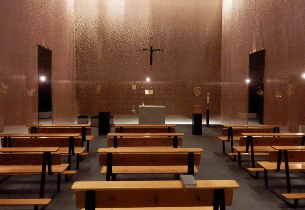
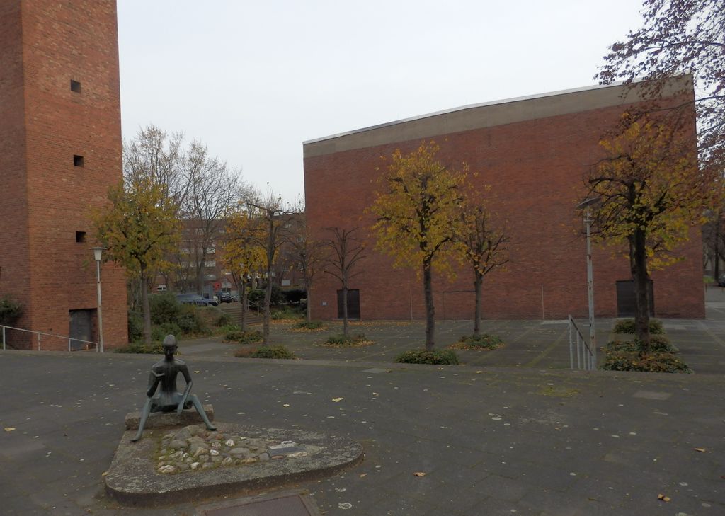
| Description | : | Grabeskirche Sankt Bartholomäus Cemeteries of Cologne |
frequently asked questions (FAQ):
-
Where is Grabeskirche Sankt Bartholomäus?
Grabeskirche Sankt Bartholomäus is located at Helmholtzplatz 13 Cologne, Stadtkreis Köln ,Nordrhein-Westfalen , 50825Germany.
-
Grabeskirche Sankt Bartholomäus cemetery's updated grave count on graveviews.com?
0 memorials
-
Where are the coordinates of the Grabeskirche Sankt Bartholomäus?
Latitude: 50.9537877
Longitude: 6.9035280

Nearby Cemetories:
1. Ahlbach Columbarium
Cologne, Stadtkreis Köln, Germany
Coordinate: 50.9580820, 6.8983632
2. Jüdischer Friedhof Ehrenfeld
Ehrenfeld, Stadtkreis Köln, Germany
Coordinate: 50.9426700, 6.9134600
3. Melaten-Friedhof
Cologne, Stadtkreis Köln, Germany
Coordinate: 50.9390100, 6.9168800
4. Friedhof Müngersdorf
Cologne, Stadtkreis Köln, Germany
Coordinate: 50.9404500, 6.8819300
5. Westfriedhof
Cologne, Stadtkreis Köln, Germany
Coordinate: 50.9718330, 6.8786430
6. Jüdischer Friedhof Bocklmünd
Cologne, Stadtkreis Köln, Germany
Coordinate: 50.9705490, 6.8714300
7. Friedhof Sankt Gereon
Cologne, Stadtkreis Köln, Germany
Coordinate: 50.9434490, 6.9461440
8. Geusenfriedhof
Cologne, Stadtkreis Köln, Germany
Coordinate: 50.9253650, 6.9269240
9. Friedhof Bocklemünd
Cologne, Stadtkreis Köln, Germany
Coordinate: 50.9750000, 6.8611560
10. Krieler Dömchen Alt Sankt Stephan
Stadtkreis Köln, Germany
Coordinate: 50.9194440, 6.9061110
11. Sankt Andreas
Cologne, Stadtkreis Köln, Germany
Coordinate: 50.9417700, 6.9549300
12. Nordfriedhof
Mauenheim, Stadtkreis Köln, Germany
Coordinate: 50.9787740, 6.9415000
13. Jüdischer Friedhof Deckstein
Lindenthal, Stadtkreis Köln, Germany
Coordinate: 50.9192300, 6.8974300
14. Minoritenkirche
Cologne, Stadtkreis Köln, Germany
Coordinate: 50.9394600, 6.9540500
15. Alter Friedhof Junkersdorf
Cologne, Stadtkreis Köln, Germany
Coordinate: 50.9338800, 6.8569800
16. Kölner Dom
Cologne, Stadtkreis Köln, Germany
Coordinate: 50.9413450, 6.9582260
17. Friedhof Junkersdorf
Cologne, Stadtkreis Köln, Germany
Coordinate: 50.9305200, 6.8578400
18. Sankt Pantaleon
Cologne, Stadtkreis Köln, Germany
Coordinate: 50.9283900, 6.9474400
19. Sankt Kunibert Basilika
Cologne, Stadtkreis Köln, Germany
Coordinate: 50.9468300, 6.9632000
20. Sankt Maria im Kapitol
Cologne, Stadtkreis Köln, Germany
Coordinate: 50.9345000, 6.9573000
21. Friedhof Longerich
Cologne, Stadtkreis Köln, Germany
Coordinate: 50.9955700, 6.9113000
22. Friedhof Hauptstraße Widdersdorf neu
Cologne, Stadtkreis Köln, Germany
Coordinate: 50.9653200, 6.8291100
23. Friedhof Pesch
Cologne, Stadtkreis Köln, Germany
Coordinate: 50.9989600, 6.8751400
24. Friedhof Turmgasse Widdersdorf alt
Cologne, Stadtkreis Köln, Germany
Coordinate: 50.9635800, 6.8274900