
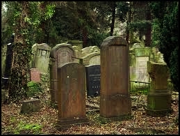
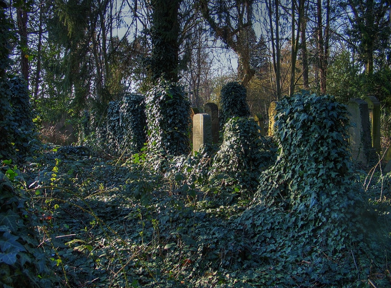
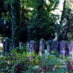
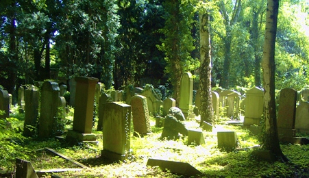
| Memorials | : | 0 |
| Location | : | Cologne, Stadtkreis Köln, Germany |
| Phone | : | 49 221 508119 |
| Website | : | www.sgk.de/index.php/friedhof.html |
| Coordinate | : | 50.9705490, 6.8714300 |
frequently asked questions (FAQ):
-
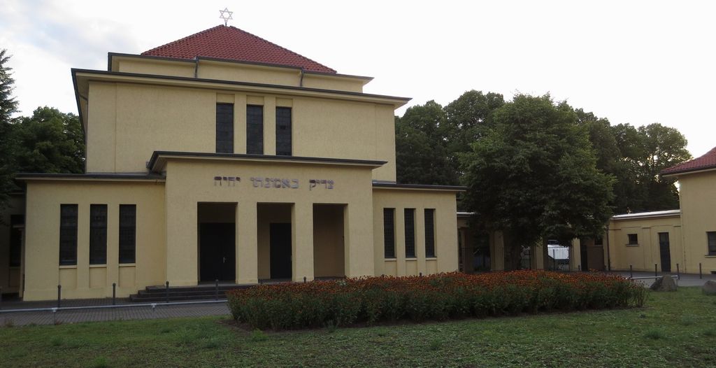
Where is Jüdischer Friedhof Bocklmünd?
Jüdischer Friedhof Bocklmünd is located at Venloer Straße 1152 Cologne, Stadtkreis Köln ,Nordrhein-Westfalen , 50829Germany.
-
Jüdischer Friedhof Bocklmünd cemetery's updated grave count on graveviews.com?
0 memorials
-
Where are the coordinates of the Jüdischer Friedhof Bocklmünd?
Latitude: 50.9705490
Longitude: 6.8714300
Nearby Cemetories:
1. Westfriedhof
Cologne, Stadtkreis Köln, Germany
Coordinate: 50.9718330, 6.8786430
2. Friedhof Bocklemünd
Cologne, Stadtkreis Köln, Germany
Coordinate: 50.9750000, 6.8611560
3. Ahlbach Columbarium
Cologne, Stadtkreis Köln, Germany
Coordinate: 50.9580820, 6.8983632
4. Grabeskirche Sankt Bartholomäus
Cologne, Stadtkreis Köln, Germany
Coordinate: 50.9537877, 6.9035280
5. Friedhof Hauptstraße Widdersdorf neu
Cologne, Stadtkreis Köln, Germany
Coordinate: 50.9653200, 6.8291100
6. Friedhof Pesch
Cologne, Stadtkreis Köln, Germany
Coordinate: 50.9989600, 6.8751400
7. Friedhof Turmgasse Widdersdorf alt
Cologne, Stadtkreis Köln, Germany
Coordinate: 50.9635800, 6.8274900
8. Friedhof Müngersdorf
Cologne, Stadtkreis Köln, Germany
Coordinate: 50.9404500, 6.8819300
9. Friedhof Longerich
Cologne, Stadtkreis Köln, Germany
Coordinate: 50.9955700, 6.9113000
10. Alter Friedhof Junkersdorf
Cologne, Stadtkreis Köln, Germany
Coordinate: 50.9338800, 6.8569800
11. Jüdischer Friedhof Ehrenfeld
Ehrenfeld, Stadtkreis Köln, Germany
Coordinate: 50.9426700, 6.9134600
12. Friedhof Gartenweg Weiden alt
Cologne, Stadtkreis Köln, Germany
Coordinate: 50.9402200, 6.8287500
13. Friedhof Junkersdorf
Cologne, Stadtkreis Köln, Germany
Coordinate: 50.9305200, 6.8578400
14. Melaten-Friedhof
Cologne, Stadtkreis Köln, Germany
Coordinate: 50.9390100, 6.9168800
15. Friedhof Lövenich
Cologne, Stadtkreis Köln, Germany
Coordinate: 50.9432800, 6.8183800
16. Friedhof Albert-Kindle-Straße Weiden neu
Cologne, Stadtkreis Köln, Germany
Coordinate: 50.9404000, 6.8209600
17. Nordfriedhof
Mauenheim, Stadtkreis Köln, Germany
Coordinate: 50.9787740, 6.9415000
18. Friedhof Esch
Cologne, Stadtkreis Köln, Germany
Coordinate: 51.0166700, 6.8573400
19. Friedhof Chorweiler
Cologne, Stadtkreis Köln, Germany
Coordinate: 51.0180700, 6.8798500
20. Friedhof Volkhoven-Weiler
Cologne, Stadtkreis Köln, Germany
Coordinate: 51.0222500, 6.8861300
21. Jüdischer Friedhof Deckstein
Lindenthal, Stadtkreis Köln, Germany
Coordinate: 50.9192300, 6.8974300
22. Friedhof Sankt Gereon
Cologne, Stadtkreis Köln, Germany
Coordinate: 50.9434490, 6.9461440
23. Krieler Dömchen Alt Sankt Stephan
Stadtkreis Köln, Germany
Coordinate: 50.9194440, 6.9061110
24. Brauweiler Abbey
Pulheim, Rhein-Erft-Kreis, Germany
Coordinate: 50.9611400, 6.7828300