
| Memorials | : | 1087 |
| Location | : | Shrewsbury, Worcester County, USA |
| Coordinate | : | 42.2518900, -71.6854200 |
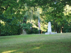
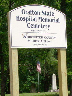
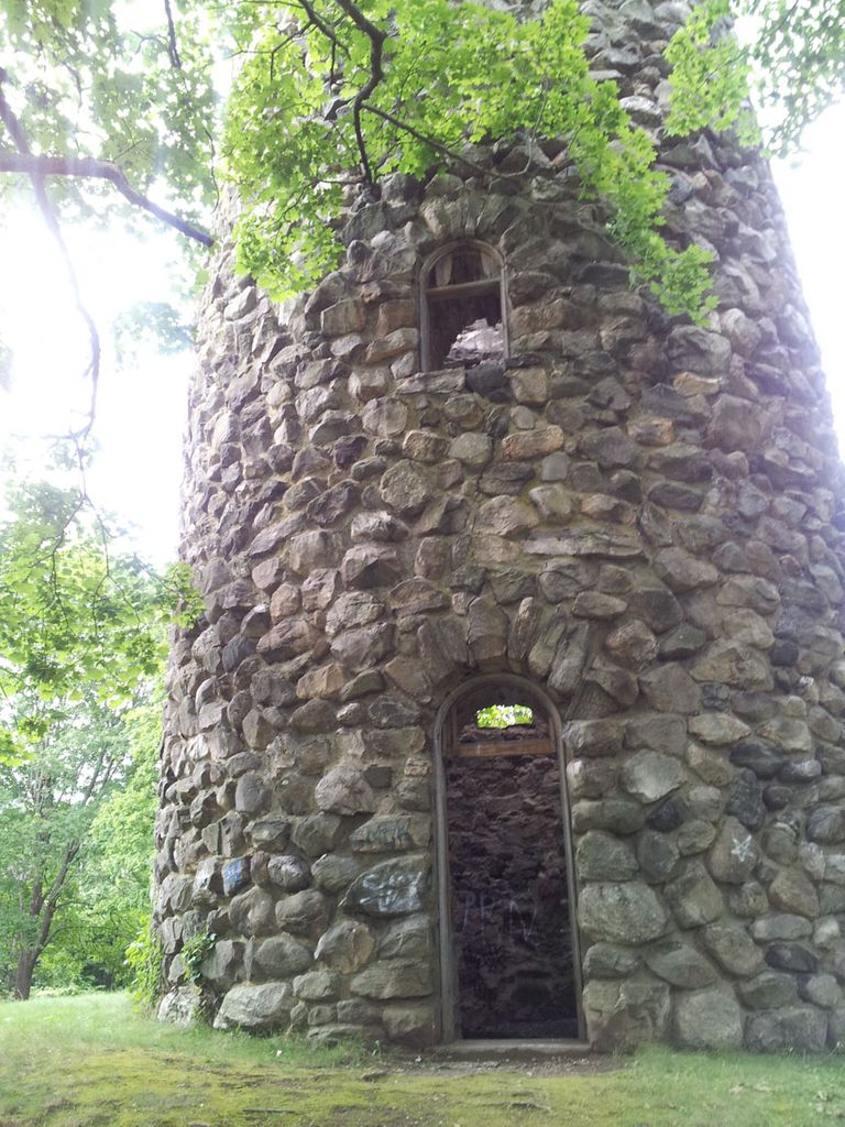
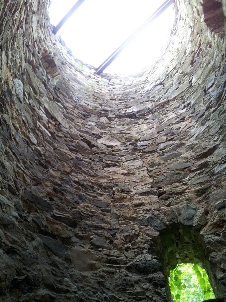
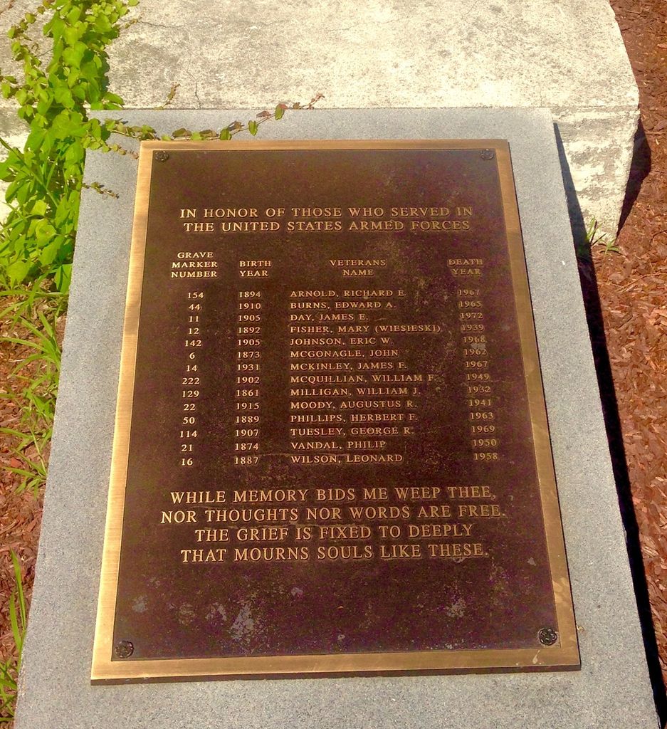
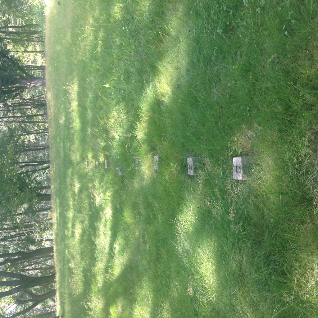
| Description | : | A permanent directory, listing all the names and grave stone numbers of those buried in the cemetery, is being planned for installation at the site. Three who were originally buried there have been removed to another burial site by their families. The cemetery, several acres in size, is now accessible to visitors from Centech Boulevard, where there is a sign and walkway. Until recently, the cemetery was difficult to see from the road, but a large swath of woodland has been thinned out, making the area visible. A massive stone water tower identifies the location. 1041 patients of the former Grafton State... Read More |
frequently asked questions (FAQ):
-
Where is Grafton State Hospital Memorial Cemetery?
Grafton State Hospital Memorial Cemetery is located at Centech Boulevard Shrewsbury, Worcester County ,Massachusetts ,USA.
-
Grafton State Hospital Memorial Cemetery cemetery's updated grave count on graveviews.com?
1074 memorials
-
Where are the coordinates of the Grafton State Hospital Memorial Cemetery?
Latitude: 42.2518900
Longitude: -71.6854200
Nearby Cemetories:
1. Pine Grove Cemetery
Grafton, Worcester County, USA
Coordinate: 42.2346992, -71.7042007
2. Grove Street Burial Ground
Shrewsbury, Worcester County, USA
Coordinate: 42.2578090, -71.7173770
3. Hillside East Cemetery
Shrewsbury, Worcester County, USA
Coordinate: 42.2663850, -71.7225270
4. Hillside West Cemetery
Shrewsbury, Worcester County, USA
Coordinate: 42.2692600, -71.7236100
5. Old Oak Street Burial Ground
Grafton, Worcester County, USA
Coordinate: 42.2109500, -71.6916900
6. Riverside Cemetery
Grafton, Worcester County, USA
Coordinate: 42.2057266, -71.6985550
7. Saint Philips Catholic Cemetery
Grafton, Worcester County, USA
Coordinate: 42.2028008, -71.7027969
8. Saint Anne's Cemetery
Shrewsbury, Worcester County, USA
Coordinate: 42.2746300, -71.7485400
9. Mountain View Cemetery
Shrewsbury, Worcester County, USA
Coordinate: 42.2999306, -71.7147598
10. Memorial Cemetery
Westborough, Worcester County, USA
Coordinate: 42.2686800, -71.6142600
11. Midland Cemetery
Westborough, Worcester County, USA
Coordinate: 42.2661630, -71.6119770
12. West Main Street Cemetery
Shrewsbury, Worcester County, USA
Coordinate: 42.2912600, -71.7420000
13. Pine Grove Cemetery
Westborough, Worcester County, USA
Coordinate: 42.2647018, -71.6082993
14. First Burying Place
Northborough, Worcester County, USA
Coordinate: 42.3044100, -71.6388400
15. Saint Lukes Cemetery
Westborough, Worcester County, USA
Coordinate: 42.2597008, -71.5999985
16. Notre Dame du Lac Cemetery
Worcester, Worcester County, USA
Coordinate: 42.2910170, -71.7681030
17. Old North Cemetery
Upton, Worcester County, USA
Coordinate: 42.1994019, -71.6125031
18. Millbury Cemetery
Millbury, Worcester County, USA
Coordinate: 42.1914940, -71.7515945
19. Bear Hill Cemetery
Hopkinton, Middlesex County, USA
Coordinate: 42.2243000, -71.5871300
20. Howard Street Cemetery
Northborough, Worcester County, USA
Coordinate: 42.3249000, -71.6475400
21. Old Farnumsville Cemetery
Grafton, Worcester County, USA
Coordinate: 42.1728325, -71.6776581
22. Saint John's Episcopal Church Burial Site
Sutton, Worcester County, USA
Coordinate: 42.1745870, -71.7196110
23. Evergreen Cemetery
Hopkinton, Middlesex County, USA
Coordinate: 42.2419600, -71.5743500
24. Old Burial Place
Worcester, Worcester County, USA
Coordinate: 42.2679000, -71.7961300