
| Memorials | : | 0 |
| Location | : | Grafton, Worcester County, USA |
| Coordinate | : | 42.2109500, -71.6916900 |
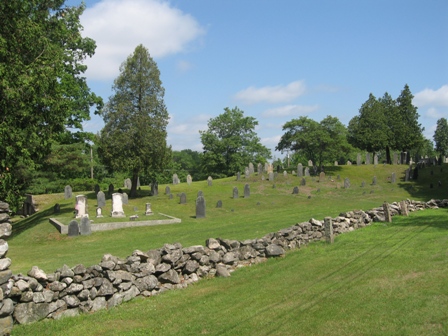
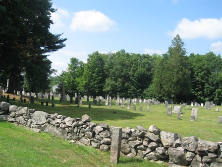
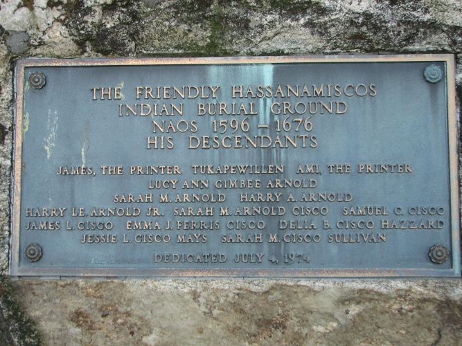
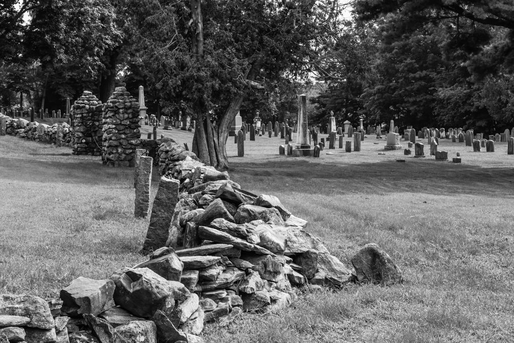
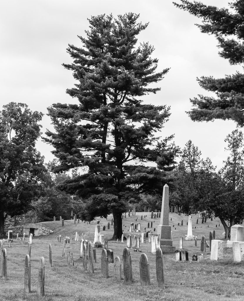
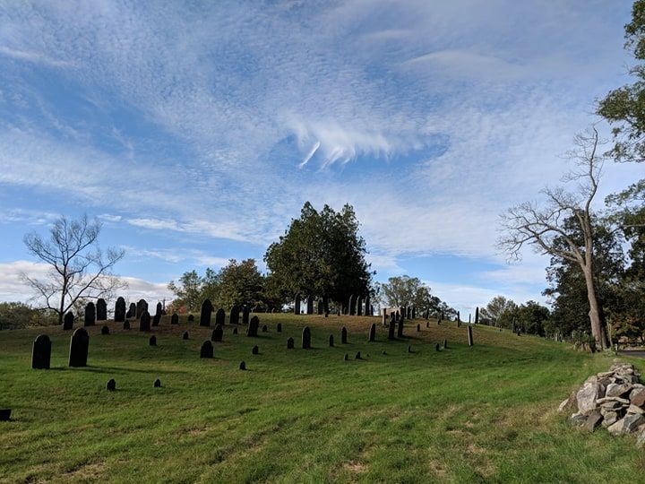
| Description | : | The Old Oak Street Burial Ground is the oldest documented historical site in Grafton. It is located near the south east corner of Lake Ripple right across from Grafton Senior High School on Route 122. The Community Preservation Committee for Grafton holds the responsibility of overseeing the cemetery. Contact information for this committee may be obtained through Grafton Town Hall, 508-839-5335. The earliest records indicate that on November 26, 1734 a committee of 40 proprietors began the process of selecting this burial ground. The one discrepancy to this date is the tombstone of Benjamin Rand, which indicates a death date... Read More |
frequently asked questions (FAQ):
-
Where is Old Oak Street Burial Ground?
Old Oak Street Burial Ground is located at Oak Street Grafton, Worcester County ,Massachusetts ,USA.
-
Old Oak Street Burial Ground cemetery's updated grave count on graveviews.com?
0 memorials
-
Where are the coordinates of the Old Oak Street Burial Ground?
Latitude: 42.2109500
Longitude: -71.6916900
Nearby Cemetories:
1. Riverside Cemetery
Grafton, Worcester County, USA
Coordinate: 42.2057266, -71.6985550
2. Saint Philips Catholic Cemetery
Grafton, Worcester County, USA
Coordinate: 42.2028008, -71.7027969
3. Pine Grove Cemetery
Grafton, Worcester County, USA
Coordinate: 42.2346992, -71.7042007
4. Old Farnumsville Cemetery
Grafton, Worcester County, USA
Coordinate: 42.1728325, -71.6776581
5. Grafton State Hospital Memorial Cemetery
Shrewsbury, Worcester County, USA
Coordinate: 42.2518900, -71.6854200
6. Saint John's Episcopal Church Burial Site
Sutton, Worcester County, USA
Coordinate: 42.1745870, -71.7196110
7. Wilkinsonville Cemetery
Sutton, Worcester County, USA
Coordinate: 42.1716450, -71.7225750
8. Fairview Cemetery
Grafton, Worcester County, USA
Coordinate: 42.1666985, -71.6714020
9. Millbury Cemetery
Millbury, Worcester County, USA
Coordinate: 42.1914940, -71.7515945
10. Grove Street Burial Ground
Shrewsbury, Worcester County, USA
Coordinate: 42.2578090, -71.7173770
11. Orchard View Cemetery
Sutton, Worcester County, USA
Coordinate: 42.1613760, -71.7107900
12. Dodge Cemetery
Sutton, Worcester County, USA
Coordinate: 42.1573100, -71.7008100
13. Millbury Central Cemetery
Millbury, Worcester County, USA
Coordinate: 42.1939621, -71.7682953
14. Saint Brigid Cemetery
Millbury, Worcester County, USA
Coordinate: 42.1951900, -71.7690100
15. Old North Cemetery
Upton, Worcester County, USA
Coordinate: 42.1994019, -71.6125031
16. Hillside East Cemetery
Shrewsbury, Worcester County, USA
Coordinate: 42.2663850, -71.7225270
17. Hillside West Cemetery
Shrewsbury, Worcester County, USA
Coordinate: 42.2692600, -71.7236100
18. Freegrace Marble Farm Cemetery
Sutton, Worcester County, USA
Coordinate: 42.1637500, -71.7507600
19. Armsby Cemetery
Sutton, Worcester County, USA
Coordinate: 42.1516991, -71.7319031
20. Cooper Road Cemetery
Northbridge, Worcester County, USA
Coordinate: 42.1433790, -71.6636470
21. Maplewood Cemetery
Upton, Worcester County, USA
Coordinate: 42.1624985, -71.6196976
22. New Howard Cemetery
Sutton, Worcester County, USA
Coordinate: 42.1514620, -71.7475300
23. Old Howard Cemetery
Sutton, Worcester County, USA
Coordinate: 42.1513220, -71.7478470
24. Pine Grove Cemetery
Upton, Worcester County, USA
Coordinate: 42.1795500, -71.6030900