| Memorials | : | 0 |
| Location | : | McVille, Boone County, USA |
| Coordinate | : | 38.9748600, -84.8232550 |
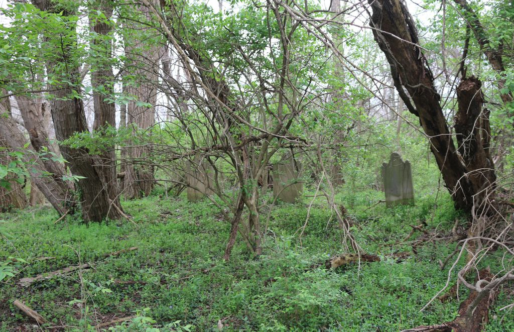
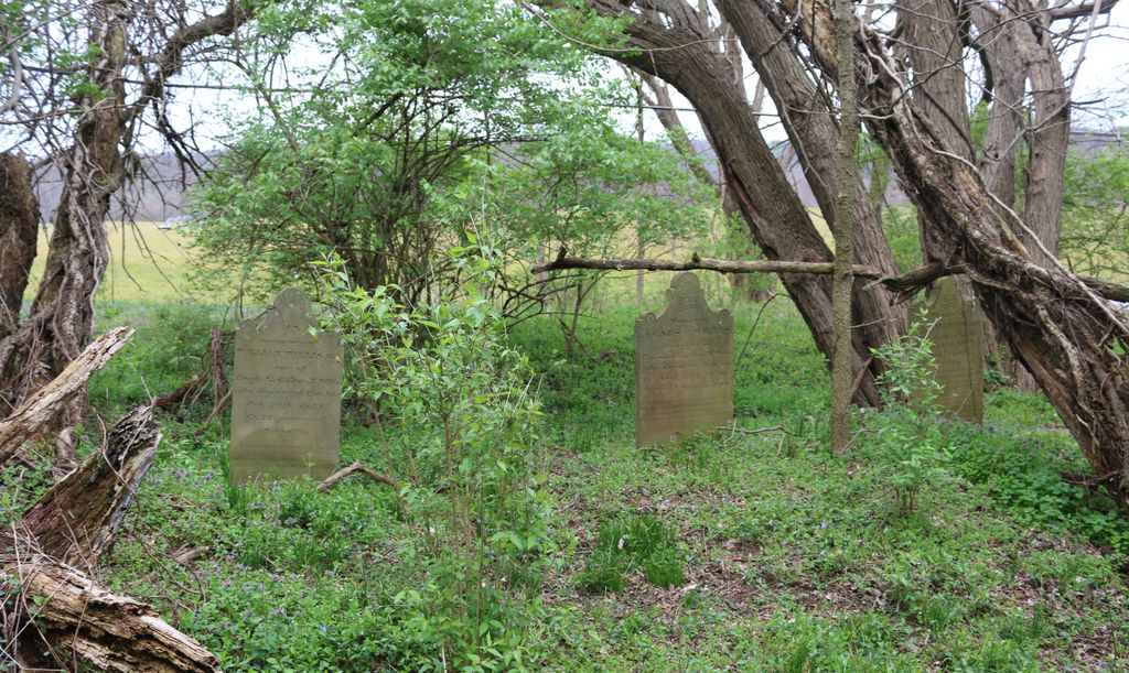
| Description | : | The cemetery is located about 70 feet west of McVille Road (Kentucky State Highway 18) about 750 feet south of its intersection with Waterloo Road. Burials occurred between 1827 and 1861. The cemetery is 35 feet by 15 feet in size. The cemetery is located about 80 feet south of the Rice Cemetery, which is on the same side of the road. The Boone County GIS unique ID assigned to this cemetery is 72 (Grant-Willis Cemetery). The cemetery has an index number of 73 (Grant-Willis) on the Boone County Kentucky Cemetery Map published in 2005 by the Boone County... Read More |
frequently asked questions (FAQ):
-
Where is Grant Cemetery?
Grant Cemetery is located at McVille Road (Kentucky State Highway 18) McVille, Boone County ,Kentucky , 41005USA.
-
Grant Cemetery cemetery's updated grave count on graveviews.com?
0 memorials
-
Where are the coordinates of the Grant Cemetery?
Latitude: 38.9748600
Longitude: -84.8232550
Nearby Cemetories:
1. Rice Cemetery
Belleview, Boone County, USA
Coordinate: 38.9750780, -84.8232300
2. Old Belleview Cemetery
Belleview, Boone County, USA
Coordinate: 38.9877663, -84.8241501
3. Eric Hamilton Cemetery
Belleview, Boone County, USA
Coordinate: 38.9908330, -84.8238830
4. Belleview Baptist Cemetery
Burlington, Boone County, USA
Coordinate: 38.9920700, -84.8255300
5. Fulton Burying Ground
Rising Sun, Ohio County, USA
Coordinate: 38.9739150, -84.8498100
6. Lowden Cemetery
Burlington, Boone County, USA
Coordinate: 38.9895150, -84.8030900
7. Rice Cemetery #3
Belleview, Boone County, USA
Coordinate: 38.9961014, -84.8191986
8. Marshall Cemetery
Burlington, Boone County, USA
Coordinate: 38.9702988, -84.7957993
9. Pearson Cemetery
Boone County, USA
Coordinate: 38.9491997, -84.8186035
10. Dinsmore Cemetery
Belleview, Boone County, USA
Coordinate: 39.0005989, -84.8153000
11. Craig Cemetery
Rabbit Hash, Boone County, USA
Coordinate: 38.9458008, -84.8367004
12. Wilson Cemetery
Rabbit Hash, Boone County, USA
Coordinate: 38.9446983, -84.8341980
13. Scott Cemetery
Rabbit Hash, Boone County, USA
Coordinate: 38.9427780, -84.8244440
14. Marshall-Bradford Cemetery
Burlington, Boone County, USA
Coordinate: 38.9688630, -84.7812320
15. Close Cemetery
Rising Sun, Ohio County, USA
Coordinate: 38.9602000, -84.8625000
16. Powell Cemetery
Waterloo, Boone County, USA
Coordinate: 38.9581140, -84.7844440
17. Middle Creek Baptist Church Cemetery
Belleview, Boone County, USA
Coordinate: 38.9901730, -84.7830570
18. Kelly Family Cemetery
Belleview, Boone County, USA
Coordinate: 38.9817530, -84.7781590
19. Rising Sun Cemetery
Rising Sun, Ohio County, USA
Coordinate: 38.9546350, -84.8632410
20. Old Ryle Homeplace Cemetery
Union, Boone County, USA
Coordinate: 38.9427780, -84.7986110
21. James T Ryle Cemetery
Burlington, Boone County, USA
Coordinate: 38.9546820, -84.7824470
22. Union Cemetery
Rising Sun, Ohio County, USA
Coordinate: 38.9508896, -84.8610077
23. Beech Grove Holiness Church Cemetery
Waterloo, Boone County, USA
Coordinate: 38.9518500, -84.7839100
24. Rising Sun New Cemetery
Rising Sun, Ohio County, USA
Coordinate: 38.9547005, -84.8660965


