
| Memorials | : | 0 |
| Location | : | Rising Sun, Ohio County, USA |
| Coordinate | : | 38.9547005, -84.8660965 |
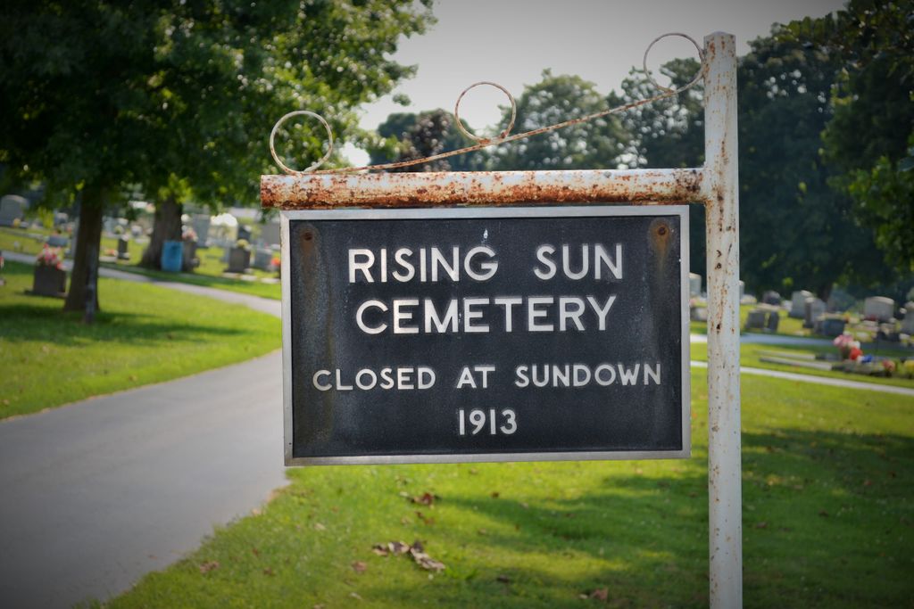
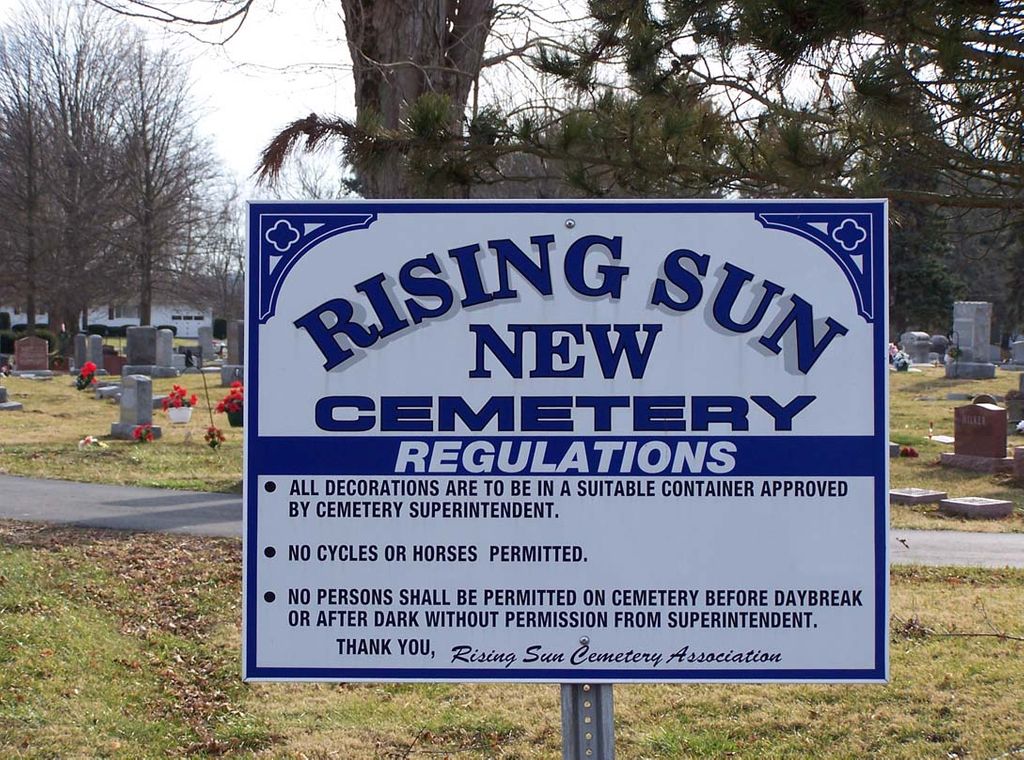
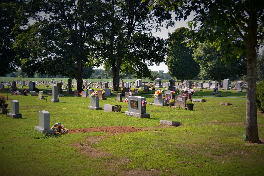
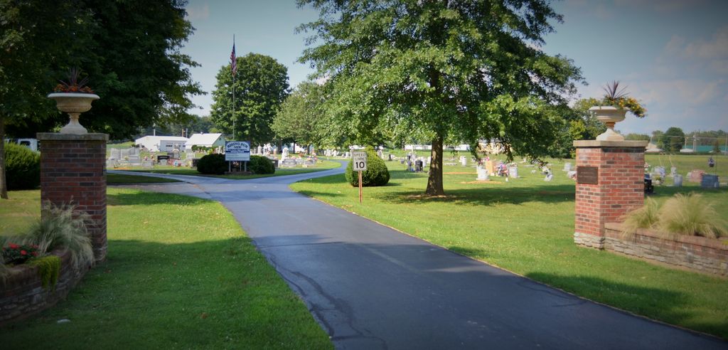
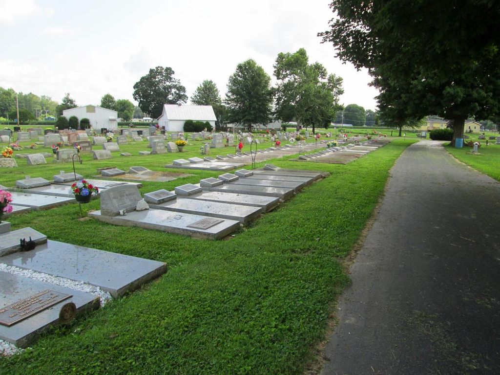
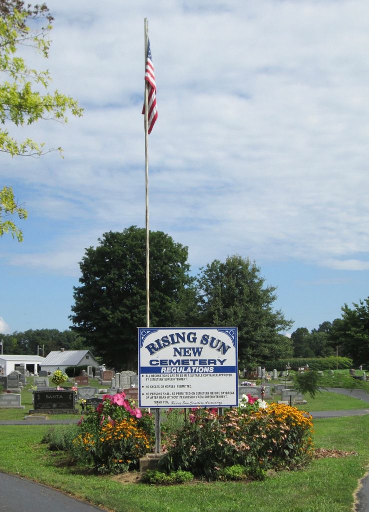
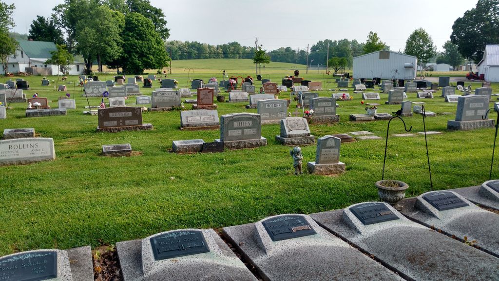
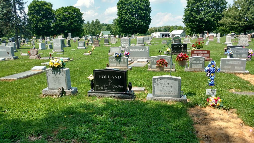
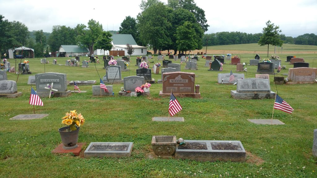
| Description | : | The cemetery is located in Randolph Township (N half of Section 3 Township 3N Range 1W) on the north side of Indiana State Highway 262 about 0.2 miles west of its intersection with Nelson Road and on the south side of Nelson Road about 0.2 miles west of its intersection with Indiana State Highway 262. Indiana Cemetery Locations, Volume 2, published by the Indiana Genealogical Society (01 April 2006), gives the primary cemetery name as Rising Sun Cemetery. The cemetery is listed in the Cemetery and Burial Grounds Registry of the Indiana Department of Natural Resources... Read More |
frequently asked questions (FAQ):
-
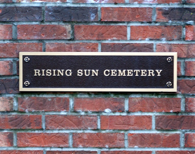
Where is Rising Sun New Cemetery?
Rising Sun New Cemetery is located at Indiana State Highway 262 Rising Sun, Ohio County ,Indiana , 47040USA.
-
Rising Sun New Cemetery cemetery's updated grave count on graveviews.com?
0 memorials
-
Where are the coordinates of the Rising Sun New Cemetery?
Latitude: 38.9547005
Longitude: -84.8660965
Nearby Cemetories:
1. Rising Sun Cemetery
Rising Sun, Ohio County, USA
Coordinate: 38.9546350, -84.8632410
2. Union Cemetery
Rising Sun, Ohio County, USA
Coordinate: 38.9508896, -84.8610077
3. Cedar Hedge Cemetery
Rising Sun, Ohio County, USA
Coordinate: 38.9496994, -84.8621979
4. Close Cemetery
Rising Sun, Ohio County, USA
Coordinate: 38.9602000, -84.8625000
5. Fulton Burying Ground
Rising Sun, Ohio County, USA
Coordinate: 38.9739150, -84.8498100
6. Craig Cemetery
Rabbit Hash, Boone County, USA
Coordinate: 38.9458008, -84.8367004
7. Wilson Cemetery
Rabbit Hash, Boone County, USA
Coordinate: 38.9446983, -84.8341980
8. Stephens Cemetery
Rabbit Hash, Boone County, USA
Coordinate: 38.9308014, -84.8435974
9. Scott Cemetery
Rabbit Hash, Boone County, USA
Coordinate: 38.9427780, -84.8244440
10. East Bend Methodist Church Cemetery
Rabbit Hash, Boone County, USA
Coordinate: 38.9198000, -84.8583300
11. Clark Hill Cemetery
Ohio County, USA
Coordinate: 38.9506989, -84.9120865
12. East Bend Baptist Church Cemetery
Rabbit Hash, Boone County, USA
Coordinate: 38.9189339, -84.8530960
13. Pearson Cemetery
Boone County, USA
Coordinate: 38.9491997, -84.8186035
14. Pickett Cemetery
Rising Sun, Ohio County, USA
Coordinate: 38.9243000, -84.8965000
15. Grant Cemetery
McVille, Boone County, USA
Coordinate: 38.9748600, -84.8232550
16. Rice Cemetery
Belleview, Boone County, USA
Coordinate: 38.9750780, -84.8232300
17. McCardle Cemetery
Rising Sun, Ohio County, USA
Coordinate: 38.9741520, -84.9154410
18. Collins Cemetery
Hartford, Ohio County, USA
Coordinate: 38.9743000, -84.9157000
19. William Hodges Cemetery
Rabbit Hash, Boone County, USA
Coordinate: 38.9200000, -84.8322230
20. Old Belleview Cemetery
Belleview, Boone County, USA
Coordinate: 38.9877663, -84.8241501
21. Salem Church Cemetery
Rising Sun, Ohio County, USA
Coordinate: 38.9958267, -84.8939285
22. Birdsell Cemetery
Randolph Township, Ohio County, USA
Coordinate: 38.9877270, -84.9120640
23. Eric Hamilton Cemetery
Belleview, Boone County, USA
Coordinate: 38.9908330, -84.8238830
24. Belleview Baptist Cemetery
Burlington, Boone County, USA
Coordinate: 38.9920700, -84.8255300