
| Memorials | : | 0 |
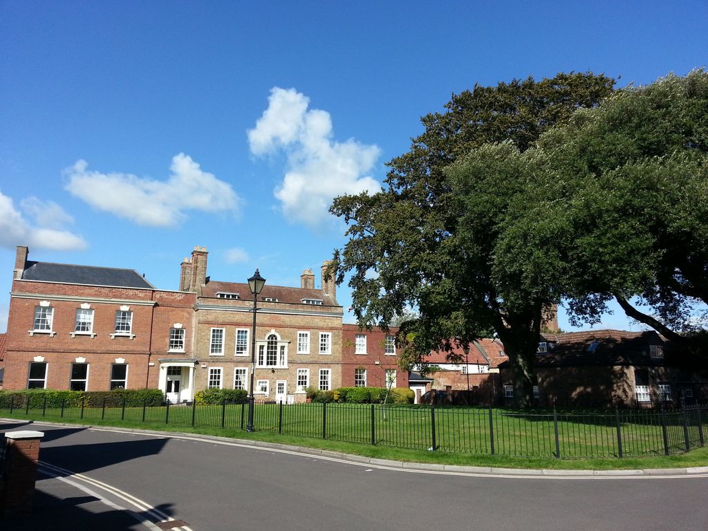
| Location | : | Bridgwater, Sedgemoor District, England |
| Coordinate | : | 51.1264260, -3.0065160 |
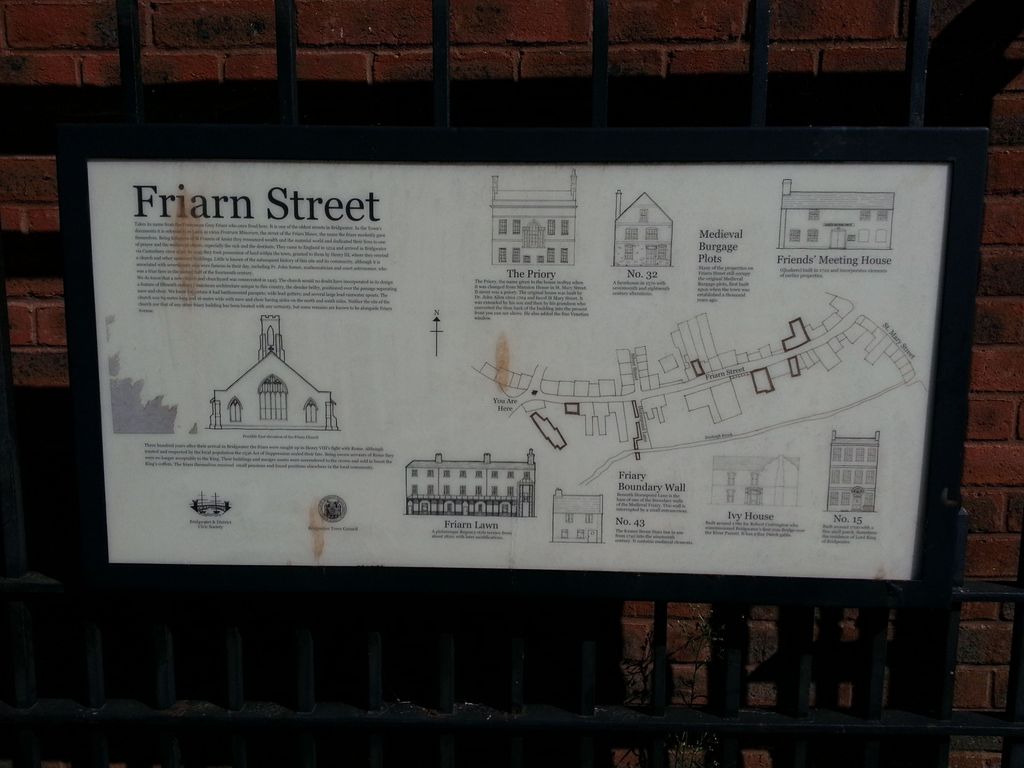
| Description | : | The convent of Friars Minor (otherwise known as Franciscans or Grey Friars) was founded in Bridgwater in 1230, by William de Briwere II, and moved to the site off Friarn Avenue in 1245. The church was rebuilt in the early 15th century and its burial ground was consecrated in 1445. When dissolved on 13 Sep 1538, surrender deeds referred to the choir, church, sacristy chambers, kitchen, buttery and possibly a reredorter. the site of the Franciscan Friary in Bridgwater has appeared on many old maps of the town, but few remains have been seen in recent years. Excavations in 1934,... Read More |
frequently asked questions (FAQ):
-
Where is Gray Friar's?
Gray Friar's is located at 43 Friarn Street, Friarn Meadow Bridgwater, Sedgemoor District ,Somerset ,England.
-
Gray Friar's cemetery's updated grave count on graveviews.com?
0 memorials
-
Where are the coordinates of the Gray Friar's?
Latitude: 51.1264260
Longitude: -3.0065160
Nearby Cemetories:
1. Quaker Burial Ground
Bridgwater, Sedgemoor District, England
Coordinate: 51.1261740, -3.0078020
2. Bridgwater Baptist Church
Bridgwater, Sedgemoor District, England
Coordinate: 51.1272613, -3.0046282
3. St. Mary's Churchyard
Bridgwater, Sedgemoor District, England
Coordinate: 51.1277430, -3.0050330
4. Former Holy Trinity Churchyard
Bridgwater, Sedgemoor District, England
Coordinate: 51.1261850, -3.0021850
5. Wembdon Road Cemetery
Bridgwater, Sedgemoor District, England
Coordinate: 51.1280877, -3.0138897
6. St John The Baptist Churchyard
Bridgwater, Sedgemoor District, England
Coordinate: 51.1311160, -2.9969910
7. St George Churchyard
Wembdon, Sedgemoor District, England
Coordinate: 51.1364420, -3.0171170
8. Quantock Road Cemetery
Bridgwater, Sedgemoor District, England
Coordinate: 51.1284270, -3.0285630
9. St. John Bristol Road Cemetery
Bridgwater, Sedgemoor District, England
Coordinate: 51.1391470, -2.9901660
10. St Hugh's Church
Durleigh, Sedgemoor District, England
Coordinate: 51.1198090, -3.0375260
11. Holy Trinity Churchyard
Chilton Trinity, Sedgemoor District, England
Coordinate: 51.1474390, -3.0072360
12. Heathfield Cemetery
North Petherton, Sedgemoor District, England
Coordinate: 51.0957200, -3.0081100
13. St. Mary Parish Churchyard
North Petherton, Sedgemoor District, England
Coordinate: 51.0920790, -3.0149060
14. Church of the Blessed Virgin Mary Churchyard
Chedzoy, Sedgemoor District, England
Coordinate: 51.1344600, -2.9429400
15. Blessed Virgin Mary Churchyard
Cannington, Sedgemoor District, England
Coordinate: 51.1500970, -3.0622850
16. St Edward King and Martyr Churchyard
Goathurst, Sedgemoor District, England
Coordinate: 51.1034930, -3.0633930
17. Cannington Cemetery
Cannington, Sedgemoor District, England
Coordinate: 51.1500620, -3.0697070
18. Saint Michael & All Angels Churchyard
Bawdrip, Sedgemoor District, England
Coordinate: 51.1517260, -2.9429330
19. Westonzoyland Cemetery New
Westonzoyland, Sedgemoor District, England
Coordinate: 51.1096271, -2.9349336
20. Saint Michael and All Angels Churchyard
Puriton, Sedgemoor District, England
Coordinate: 51.1706000, -2.9735000
21. St. Peter's Churchyard
North Newton, Sedgemoor District, England
Coordinate: 51.0751380, -2.9990730
22. Charlynch Church of Saint Mary
Spaxton, Sedgemoor District, England
Coordinate: 51.1342600, -3.0879100
23. The Old Chapel
Westonzoyland, Sedgemoor District, England
Coordinate: 51.1077425, -2.9285237
24. St. John The Baptist Churchyard
Pawlett, Sedgemoor District, England
Coordinate: 51.1789100, -3.0012650