
| Memorials | : | 32 |
| Location | : | Rice, Cloud County, USA |
| Coordinate | : | 39.5248450, -97.5081630 |
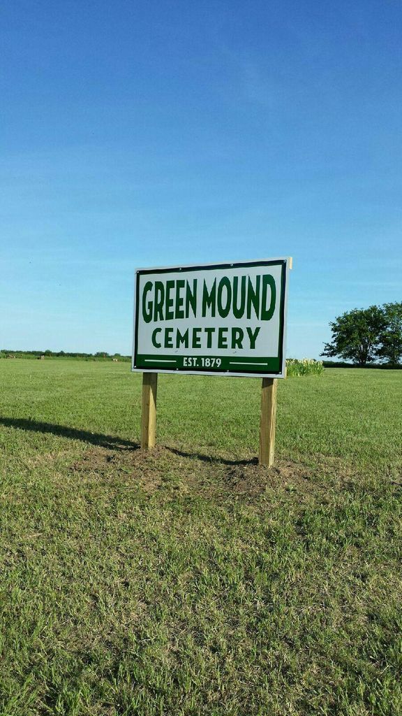
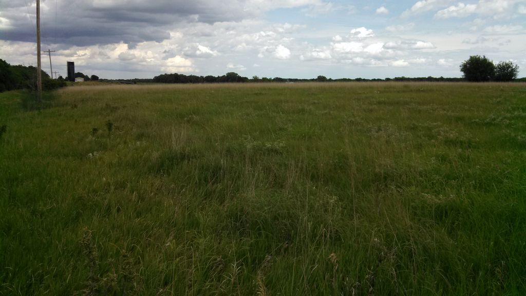
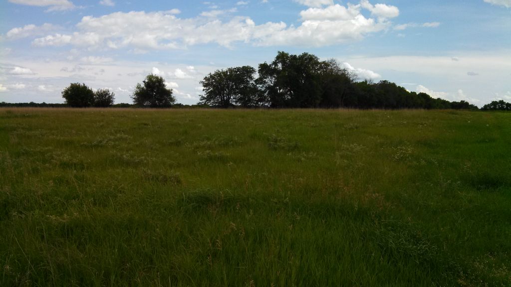
| Description | : | Green Mound Cemetery is an abandoned public cemetery consisting of 2.5 acres on the south side of Oat Road between 220 road and 230 road. It is 2 miles east of Nelson Cemetery. The cemetery has been badly abused - tombstones removed or pushed down, front fencing has been removed (there was a front fence in 1998 as I was there to see it), and had no marker indicating that it was a cemetery. The cemetery is in Nelson Township - North east 1.25 acres of NW 1/4 of section 23-6-2. This land was owned... Read More |
frequently asked questions (FAQ):
-
Where is Green Mound Cemetery?
Green Mound Cemetery is located at Rice, Cloud County ,Kansas ,USA.
-
Green Mound Cemetery cemetery's updated grave count on graveviews.com?
30 memorials
-
Where are the coordinates of the Green Mound Cemetery?
Latitude: 39.5248450
Longitude: -97.5081630
Nearby Cemetories:
1. Nelson Cemetery
Rice, Cloud County, USA
Coordinate: 39.5257988, -97.5410995
2. Walnut Grove Cemetery
Cloud County, USA
Coordinate: 39.5699997, -97.4993973
3. Saint Peters Cemetery
Aurora, Cloud County, USA
Coordinate: 39.4763985, -97.5180969
4. Pleasant View Cemetery
Ames, Cloud County, USA
Coordinate: 39.5346985, -97.4431000
5. Rice Cemetery
Rice, Cloud County, USA
Coordinate: 39.5614014, -97.5552979
6. Princeville Cemetery
Aurora, Cloud County, USA
Coordinate: 39.4672012, -97.5010986
7. Cedar Grove Cemetery
Clyde, Cloud County, USA
Coordinate: 39.5494003, -97.4056015
8. Saint Joseph Cemetery
Saint Joseph, Cloud County, USA
Coordinate: 39.5074941, -97.4022328
9. Pleasant Hill Cemetery
Huscher, Cloud County, USA
Coordinate: 39.5093994, -97.6292038
10. Mount Calvary Cemetery
Clyde, Cloud County, USA
Coordinate: 39.5917015, -97.4143982
11. Mount Hope Cemetery
Clyde, Cloud County, USA
Coordinate: 39.5969009, -97.4116974
12. French Presbyterian Church Cemetery
Cloud County, USA
Coordinate: 39.4395200, -97.4148290
13. Saint Concordia Cemetery
Concordia, Cloud County, USA
Coordinate: 39.5593800, -97.6503100
14. Hollis Cemetery
Cloud County, USA
Coordinate: 39.6383018, -97.5361023
15. Sulphur Springs Cemetery
Aurora, Cloud County, USA
Coordinate: 39.4086610, -97.4986840
16. Gotland Cemetery
Sibley Township, Cloud County, USA
Coordinate: 39.6091995, -97.6125031
17. Nazareth Convent Cemetery
Concordia, Cloud County, USA
Coordinate: 39.5614000, -97.6612000
18. Pleasant Hill Cemetery
Concordia, Cloud County, USA
Coordinate: 39.5583000, -97.6639023
19. Enterprise Cemetery
Cloud County, USA
Coordinate: 39.4230995, -97.6106033
20. Kindel Cemetery
Center Township, Cloud County, USA
Coordinate: 39.4519005, -97.6464005
21. Iwacura Cemetery
Morganville, Clay County, USA
Coordinate: 39.4550000, -97.3510000
22. Beck Family Cemetery
Agenda, Republic County, USA
Coordinate: 39.6818000, -97.4863000
23. Murdock Family Cemetery
Cloud County, USA
Coordinate: 39.6386400, -97.6504800
24. Saron Lutheran Cemetery
Sibley Township, Cloud County, USA
Coordinate: 39.6385994, -97.6511002