
| Memorials | : | 0 |
| Location | : | Ulster County, USA |
| Coordinate | : | 41.7292700, -74.5026500 |
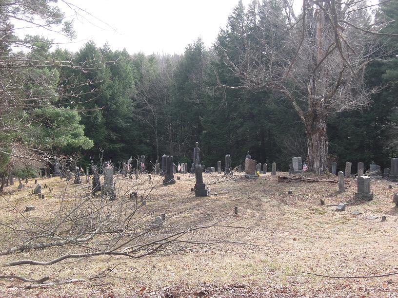
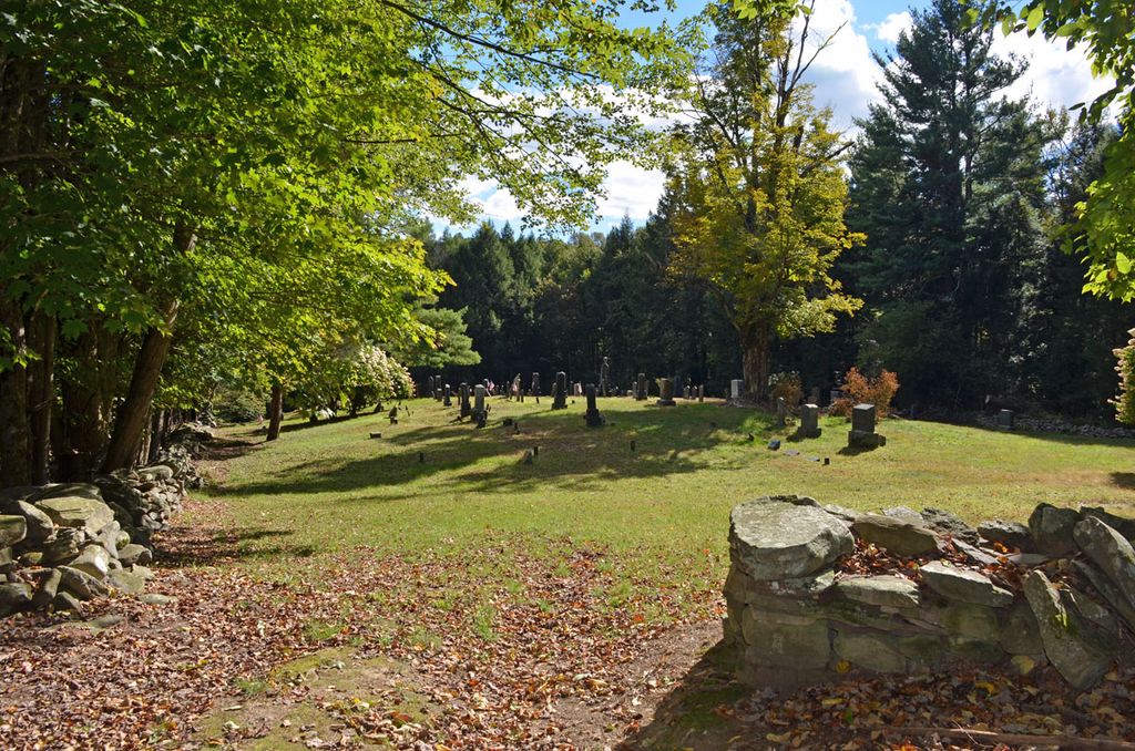
| Description | : | Head to Ellenville, turn right onto Rt 52 west towards Woodbourne. Approximately 5 miles you hit Greenfield Park. The cemetery is on the left behind a burned-out bungalow colony. The Tamarack hotel is on the right just ahead... if you get to that you've gone too far. Turn left onto the dirt road just past the foundations of the bungalows. The road curves around to the left behind the bungalows but you want to bear slightly right. Follow the dirt track 50 yards or so and you'll see the entrance to the cemetery. |
frequently asked questions (FAQ):
-
Where is Greenfield Methodist Ground?
Greenfield Methodist Ground is located at Greenfield Park Ulster County ,New York ,USA.
-
Greenfield Methodist Ground cemetery's updated grave count on graveviews.com?
0 memorials
-
Where are the coordinates of the Greenfield Methodist Ground?
Latitude: 41.7292700
Longitude: -74.5026500
Nearby Cemetories:
1. Greenfield Quaker Cemetery
Greenfield Park, Ulster County, USA
Coordinate: 41.7267100, -74.4906500
2. Congregation Knesset Israel Cemetery
Ellenville, Ulster County, USA
Coordinate: 41.7514870, -74.5030360
3. Chesed Shel Emes Cemetery
Woodridge, Sullivan County, USA
Coordinate: 41.6937110, -74.5502380
4. Hillside Cemetery
Mountain Dale, Sullivan County, USA
Coordinate: 41.6711006, -74.5378036
5. Brodhead Leurenkill Ground
Ellenville, Ulster County, USA
Coordinate: 41.6853880, -74.4213760
6. Old Ellenville Cemetery
Ellenville, Ulster County, USA
Coordinate: 41.7110500, -74.4016500
7. Saint Mary and Saint Andrew Church Cemetery
Ellenville, Ulster County, USA
Coordinate: 41.7153900, -74.3983600
8. Woodbourne Reformed Cemetery
Woodbourne, Sullivan County, USA
Coordinate: 41.7624300, -74.5994800
9. Hillside Cemetery
Woodbourne, Sullivan County, USA
Coordinate: 41.7630300, -74.5991900
10. Woodbourne Cemetery
Woodbourne, Sullivan County, USA
Coordinate: 41.7625200, -74.6003500
11. Fallsburg Cemetery
Fallsburg, Sullivan County, USA
Coordinate: 41.7199200, -74.6108300
12. Fantinekill Massacre Site
Ellenville, Ulster County, USA
Coordinate: 41.7240380, -74.3892080
13. Fantinekill Cemetery
Ellenville, Ulster County, USA
Coordinate: 41.7286110, -74.3880539
14. Misner Burying Ground
Woodbourne, Sullivan County, USA
Coordinate: 41.7766360, -74.6022990
15. Grays Cemetery
Fallsburg, Sullivan County, USA
Coordinate: 41.6793900, -74.6014200
16. Poplar Grove Cemetery
Phillipsport, Sullivan County, USA
Coordinate: 41.6500015, -74.4411011
17. Napanoch Cemetery
Napanoch, Ulster County, USA
Coordinate: 41.7452600, -74.3747500
18. Congregation B'nai Israel Cemetery
Glen Wild, Sullivan County, USA
Coordinate: 41.6606800, -74.5955900
19. Workmans Circle #281 Cemetery
Glen Wild, Sullivan County, USA
Coordinate: 41.6599167, -74.5950250
20. Glen Wild Synagogue Cemetery
Glen Wild, Sullivan County, USA
Coordinate: 41.6597870, -74.5957680
21. Congregation Ohave Shalom Synagogue Cemetery
Glen Wild, Sullivan County, USA
Coordinate: 41.6597420, -74.5959360
22. Hebrew Congregation Cemetery
Glen Wild, Sullivan County, USA
Coordinate: 41.6600090, -74.5963860
23. South Fallsburg Hebrew Cemetery
Glen Wild, Sullivan County, USA
Coordinate: 41.6606278, -74.5979095
24. Glen Wild Cemetery
Glen Wild, Sullivan County, USA
Coordinate: 41.6599800, -74.5977600