
| Memorials | : | 1 |
| Location | : | Ellenville, Ulster County, USA |
| Coordinate | : | 41.7110500, -74.4016500 |
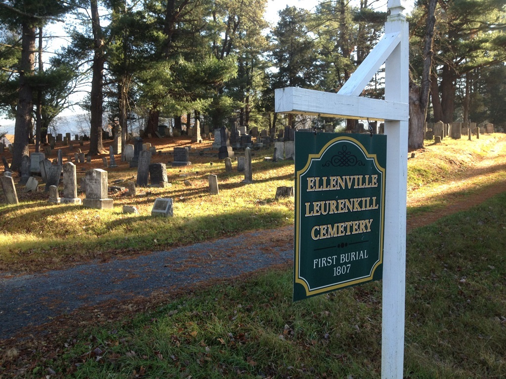
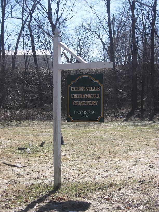
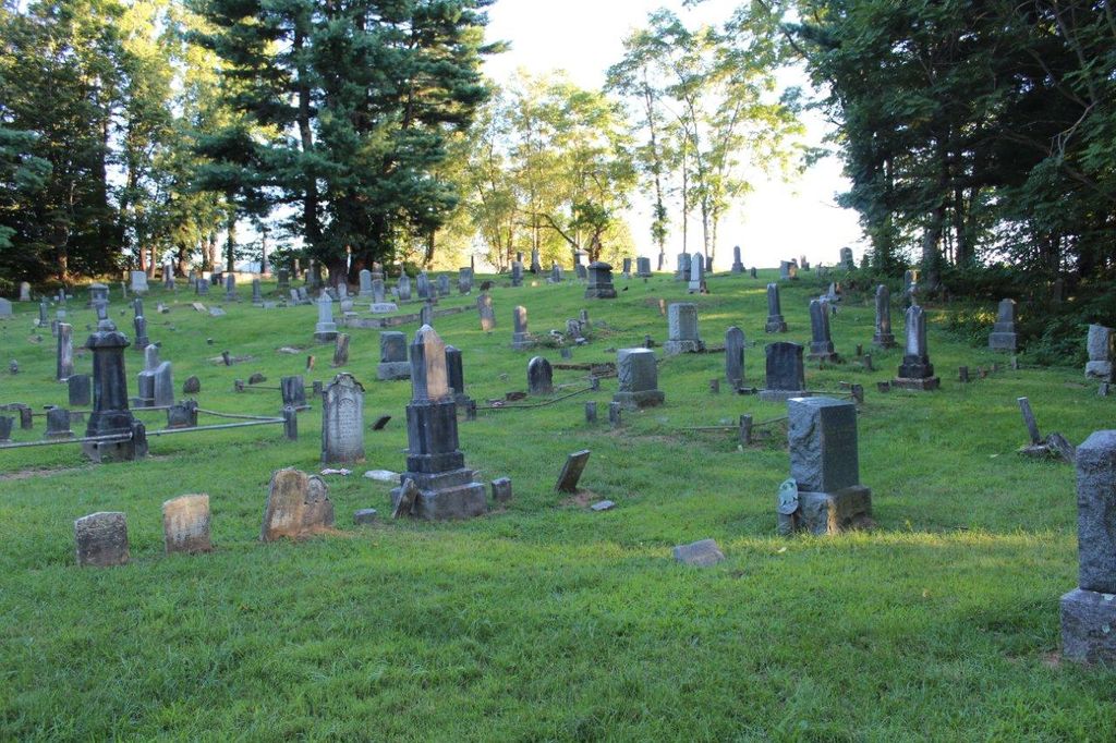
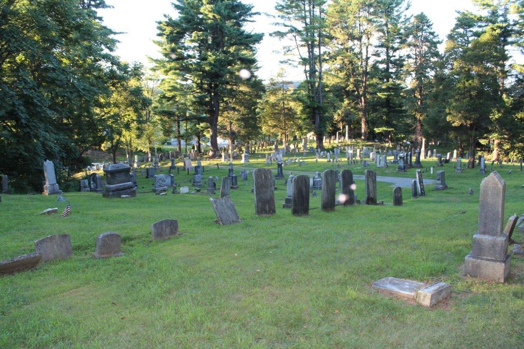
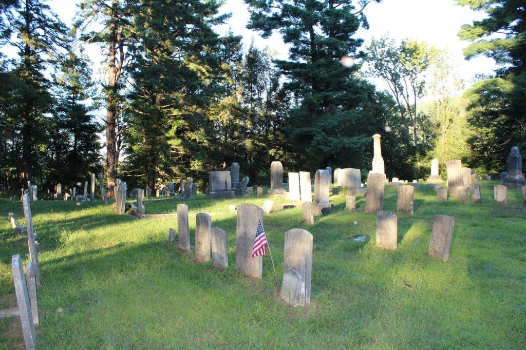
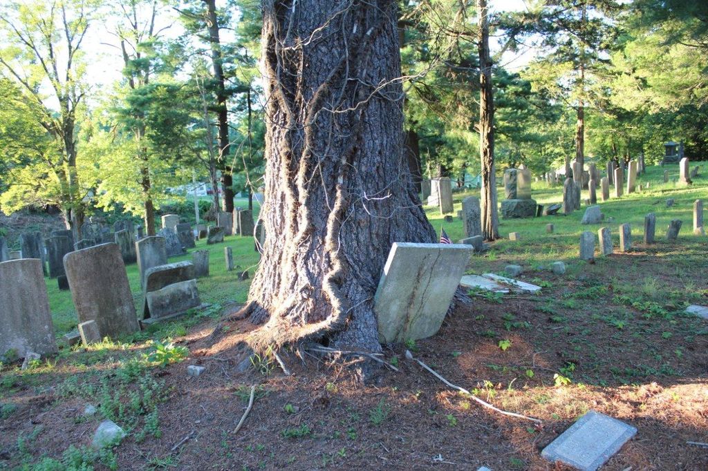
| Description | : | The Old Ellenville Cemetery, also known as the Leurenkill Cemetery, was divided from the Eburn Haight farm on the old Leurenkill Road, now identified as Nevele Road. Although gravestones indicate burials as early as 1807, the property was officially deeded to the Methodist Episcopal Church of Ellenville for use as a "public burying ground" on September 3, 1838. The cemetery includes the burial places of many Civil War soldiers, as well as civilians prominent in the business, social, and civic life of the community. |
frequently asked questions (FAQ):
-
Where is Old Ellenville Cemetery?
Old Ellenville Cemetery is located at Country Club Road and Nevele Road Ellenville, Ulster County ,New York ,USA.
-
Old Ellenville Cemetery cemetery's updated grave count on graveviews.com?
1 memorials
-
Where are the coordinates of the Old Ellenville Cemetery?
Latitude: 41.7110500
Longitude: -74.4016500
Nearby Cemetories:
1. Saint Mary and Saint Andrew Church Cemetery
Ellenville, Ulster County, USA
Coordinate: 41.7153900, -74.3983600
2. Fantinekill Massacre Site
Ellenville, Ulster County, USA
Coordinate: 41.7240380, -74.3892080
3. Fantinekill Cemetery
Ellenville, Ulster County, USA
Coordinate: 41.7286110, -74.3880539
4. Brodhead Leurenkill Ground
Ellenville, Ulster County, USA
Coordinate: 41.6853880, -74.4213760
5. Old Stone Church Cemetery
Cragsmoor, Ulster County, USA
Coordinate: 41.6795470, -74.3847800
6. Napanoch Cemetery
Napanoch, Ulster County, USA
Coordinate: 41.7452600, -74.3747500
7. Poplar Grove Cemetery
Phillipsport, Sullivan County, USA
Coordinate: 41.6500015, -74.4411011
8. Greenfield Quaker Cemetery
Greenfield Park, Ulster County, USA
Coordinate: 41.7267100, -74.4906500
9. Greenfield Methodist Ground
Ulster County, USA
Coordinate: 41.7292700, -74.5026500
10. Church at Crawford Cemetery
Crawford, Ulster County, USA
Coordinate: 41.6656700, -74.3115700
11. Congregation Knesset Israel Cemetery
Ellenville, Ulster County, USA
Coordinate: 41.7514870, -74.5030360
12. Rosecrans Burial Ground
Kerhonkson, Ulster County, USA
Coordinate: 41.7732280, -74.3096920
13. Granite Cemetery
Granite, Ulster County, USA
Coordinate: 41.7599500, -74.2851300
14. All Saints Cemetery
Pine Bush, Orange County, USA
Coordinate: 41.6556920, -74.2854150
15. Hillside Cemetery
Mountain Dale, Sullivan County, USA
Coordinate: 41.6711006, -74.5378036
16. Kerhonkson Methodist Church Cemetery
Granite, Ulster County, USA
Coordinate: 41.7588100, -74.2667400
17. Townsend Family Ground
Cherrytown, Ulster County, USA
Coordinate: 41.8099700, -74.3326200
18. Chesed Shel Emes Cemetery
Woodridge, Sullivan County, USA
Coordinate: 41.6937110, -74.5502380
19. New Prospect Cemetery
Pine Bush, Ulster County, USA
Coordinate: 41.6186600, -74.3153700
20. Pine Bush Cemetery
Kerhonkson, Ulster County, USA
Coordinate: 41.7836900, -74.2836000
21. Slater Family Ground
Granite, Ulster County, USA
Coordinate: 41.7621700, -74.2602500
22. Sandhill Krom Cemetery
Pataukunk, Ulster County, USA
Coordinate: 41.8081894, -74.3093109
23. Todd Family Cemetery
Burlingham, Sullivan County, USA
Coordinate: 41.5930467, -74.3797853
24. Gray Family Cemetery
Cherrytown, Ulster County, USA
Coordinate: 41.8166000, -74.3266900