
| Memorials | : | 8924 |
| Location | : | Milford, Clermont County, USA |
| Phone | : | (513) 831-4013 |
| Website | : | www.milfordohio.org |
| Coordinate | : | 39.1706009, -84.2758026 |
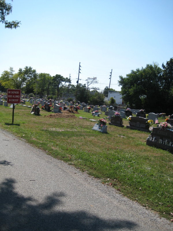
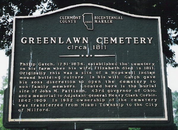
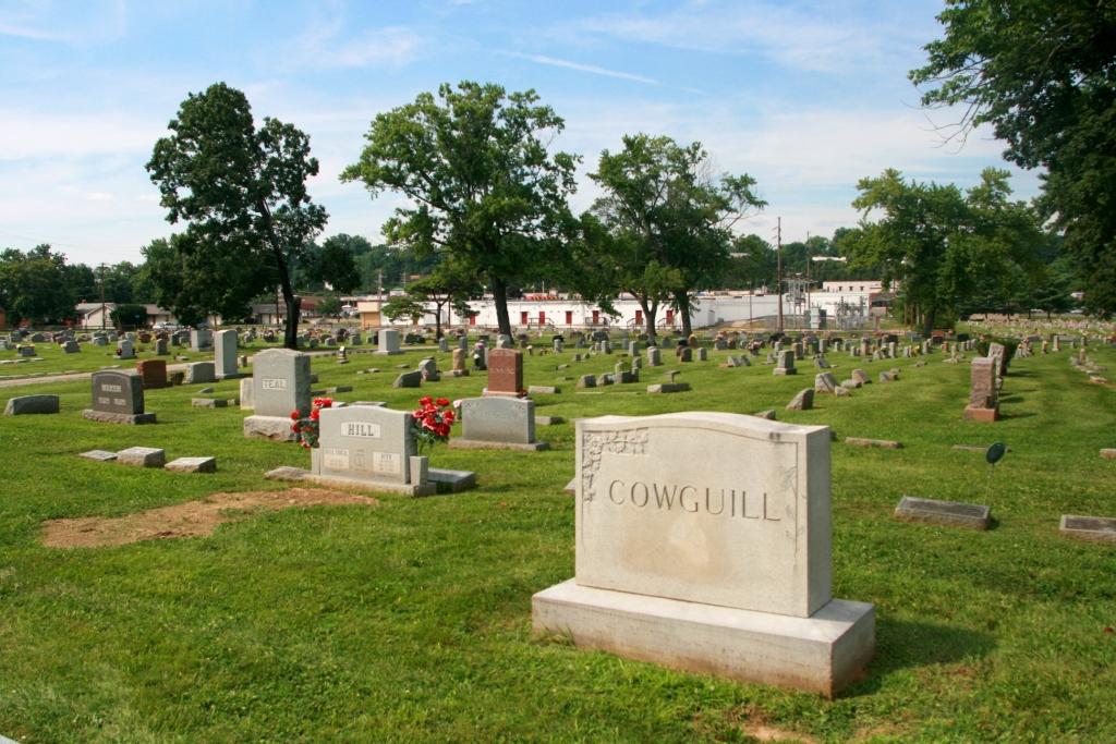
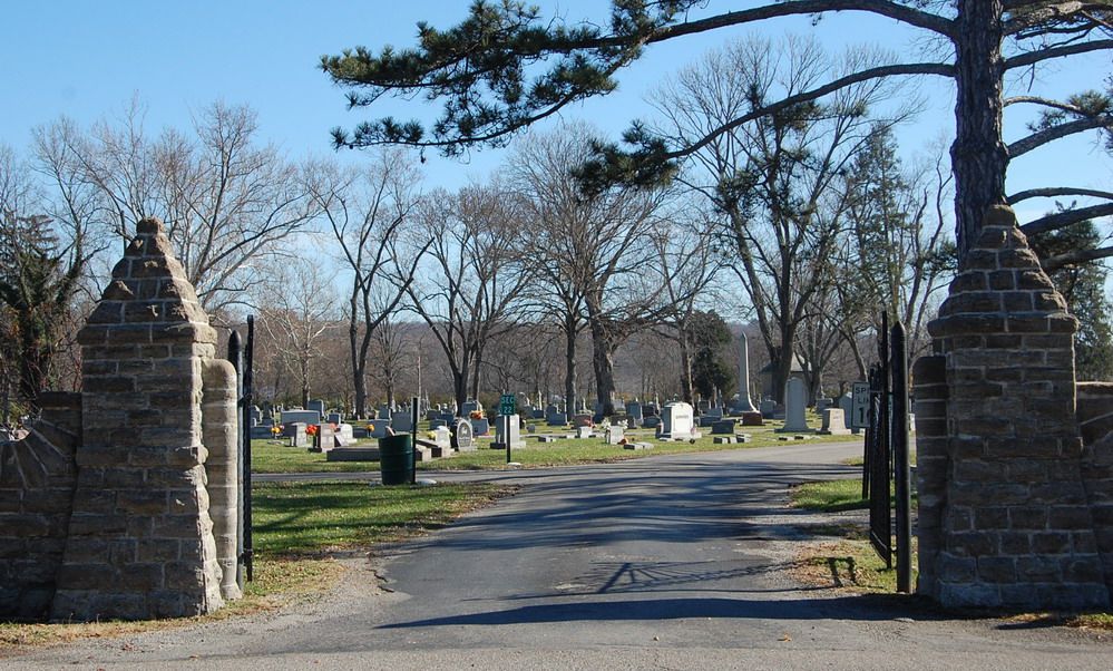
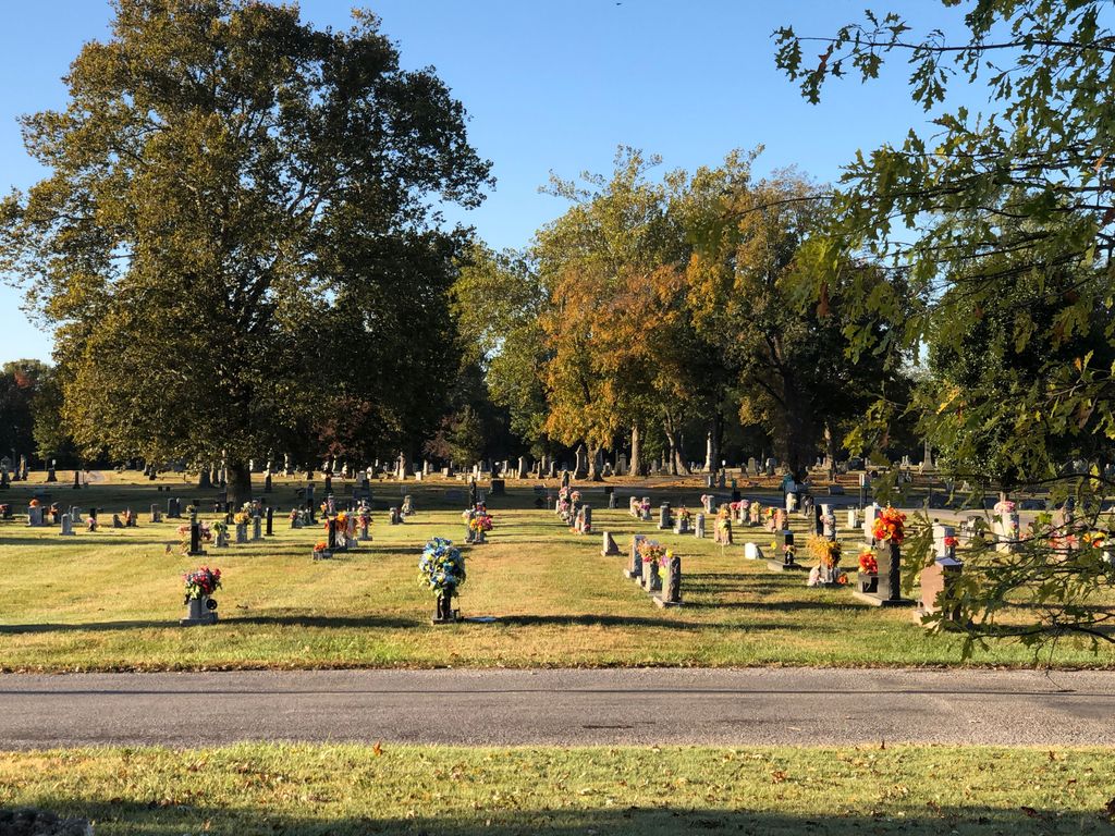
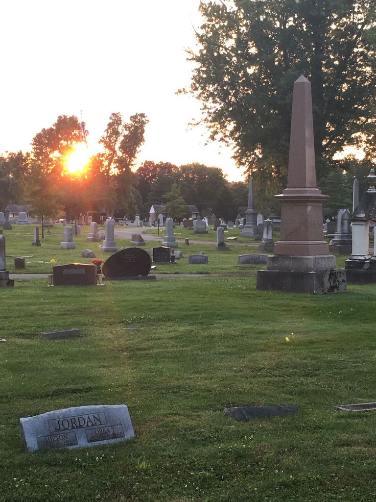
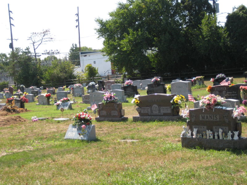
| Description | : | This active cemetery is 37.41 acres in size. The first burial in the cemetery was on 12 July 1811. The cemetery office is located at the US Highway 50 cemetery entrance. The cemetery ownership was transferred from Miami Township to the City of Milford on 2 January 1982 and is now maintained under the Service Department of the City of Milford. The cemetery is located in the city of Milford, Clermont County, Ohio, and is # 1805 in “Ohio Cemeteries 1803-2003”, compiled by the Ohio Genealogical Society. The U.S. Geological Survey (USGS) Geographic Names Information System (GNIS) feature... Read More |
frequently asked questions (FAQ):
-
Where is Greenlawn Cemetery?
Greenlawn Cemetery is located at 687 US Highway 50 Milford, Clermont County ,Ohio , 45150USA.
-
Greenlawn Cemetery cemetery's updated grave count on graveviews.com?
8908 memorials
-
Where are the coordinates of the Greenlawn Cemetery?
Latitude: 39.1706009
Longitude: -84.2758026
Nearby Cemetories:
1. Milford First United Methodist Church Columbarium
Milford, Clermont County, USA
Coordinate: 39.1768880, -84.2910680
2. Jesuit Cemetery
Milford, Clermont County, USA
Coordinate: 39.1655400, -84.2932700
3. Milford Cemetery
Milford, Clermont County, USA
Coordinate: 39.1795550, -84.2908500
4. Saint Andrews Cemetery
Milford, Clermont County, USA
Coordinate: 39.1632996, -84.2941971
5. Covalt Cemetery
Terrace Park, Hamilton County, USA
Coordinate: 39.1671400, -84.3028080
6. Saint Thomas Episcopal Church Columbarium
Terrace Park, Hamilton County, USA
Coordinate: 39.1666300, -84.3029760
7. Waldschmidt Cemetery
Camp Dennison, Hamilton County, USA
Coordinate: 39.1944900, -84.2882200
8. Brown Family Cemetery
Top-of-the-Ridge, Clermont County, USA
Coordinate: 39.1968980, -84.2695320
9. Old Indian Hill Baptist Churchyard
Indian Hill, Hamilton County, USA
Coordinate: 39.1628685, -84.3127518
10. Mulberry Cemetery
Milford, Clermont County, USA
Coordinate: 39.1947784, -84.2469864
11. Eli Davis Family Cemetery
Summerside, Clermont County, USA
Coordinate: 39.1377580, -84.2838960
12. Round Bottom Road Cemetery
Perintown, Clermont County, USA
Coordinate: 39.1400170, -84.2568330
13. Ranson Family Cemetery
Top-of-the-Ridge, Clermont County, USA
Coordinate: 39.2077220, -84.2719890
14. William Jones Cemetery
Summerside, Clermont County, USA
Coordinate: 39.1304900, -84.2657990
15. Marriott Cemetery (Defunct)
Ancor, Hamilton County, USA
Coordinate: 39.1442610, -84.3187690
16. Perintown United Methodist Church Cemetery
Perintown, Clermont County, USA
Coordinate: 39.1374512, -84.2339783
17. Martin Family Cemetery
Newtown, Hamilton County, USA
Coordinate: 39.1400060, -84.3226040
18. Evergreen Cemetery
Miamiville, Clermont County, USA
Coordinate: 39.2113500, -84.3098300
19. Union Cemetery
Branch Hill, Clermont County, USA
Coordinate: 39.2152850, -84.2409180
20. Indian Hill Episcopal Presbyterian Churchyard
Cincinnati, Hamilton County, USA
Coordinate: 39.1748880, -84.3441490
21. Armstrong Chapel Cemetery
Indian Hill, Hamilton County, USA
Coordinate: 39.1601600, -84.3472200
22. Tealtown Cemetery
Perintown, Clermont County, USA
Coordinate: 39.1190500, -84.2419830
23. Jewish Cemeteries of Greater Cincinnati – Loveland
Loveland, Clermont County, USA
Coordinate: 39.2281970, -84.2641830
24. McClure Family Cemetery
Stonelick, Clermont County, USA
Coordinate: 39.1248330, -84.2224500