
| Memorials | : | 89 |
| Location | : | Dickinson County, USA |
| Coordinate | : | 39.1199989, -97.1433029 |
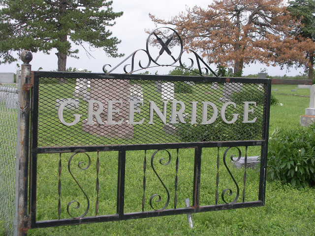
| Description | : | The cemetery is in Dickinson County, and the Clay County line is one mile north of Green Ridge. |
frequently asked questions (FAQ):
-
Where is Greenridge Cemetery?
Greenridge Cemetery is located at Dickinson County ,Kansas ,USA.
-
Greenridge Cemetery cemetery's updated grave count on graveviews.com?
89 memorials
-
Where are the coordinates of the Greenridge Cemetery?
Latitude: 39.1199989
Longitude: -97.1433029
Nearby Cemetories:
1. Henry Cemetery
Buckeye, Dickinson County, USA
Coordinate: 39.0828018, -97.1857986
2. Athelstane Cemetery
Athelstane Township, Clay County, USA
Coordinate: 39.1768990, -97.1753006
3. Jones Cemetery
Dickinson County, USA
Coordinate: 39.0703011, -97.0860977
4. Buckeye Cemetery
Buckeye, Dickinson County, USA
Coordinate: 39.0463070, -97.1665840
5. Mizpah Cemetery
Clay County, USA
Coordinate: 39.2057800, -97.1238500
6. Liberty Cemetery
Upland, Dickinson County, USA
Coordinate: 39.0896988, -97.0278015
7. Zion Cemetery
Abilene, Dickinson County, USA
Coordinate: 39.0319240, -97.2045850
8. Union Cemetery
Buckeye, Dickinson County, USA
Coordinate: 39.0243988, -97.1856003
9. Saint John's Episcopal Cemetery
Clay County, USA
Coordinate: 39.2193985, -97.0744019
10. Keystone Cemetery
Manchester, Dickinson County, USA
Coordinate: 39.1185989, -97.2917023
11. Prairiedale Cemetery
Talmage, Dickinson County, USA
Coordinate: 39.0471992, -97.2652969
12. Sutphen Mill Cemetery
Chapman, Dickinson County, USA
Coordinate: 39.0330190, -97.0368770
13. Bethel Cemetery
Moonlight, Dickinson County, USA
Coordinate: 39.0022011, -97.1110535
14. Madura Cemetery
Wakefield, Clay County, USA
Coordinate: 39.1842003, -97.0117035
15. Uniondale Cemetery
Wakefield, Clay County, USA
Coordinate: 39.2382800, -97.0918400
16. Good Hope Cemetery
Chapman, Dickinson County, USA
Coordinate: 39.0388985, -96.9991989
17. Wesleyan Cemetery
Oak Hill, Clay County, USA
Coordinate: 39.2268982, -97.2572021
18. Alida Zion Evangelical Cemetery
Upland, Dickinson County, USA
Coordinate: 39.0750008, -96.9721985
19. Highland Cemetery
Wakefield, Clay County, USA
Coordinate: 39.2190247, -97.0133667
20. Alida Cemetery
Geary County, USA
Coordinate: 39.1030998, -96.9618988
21. Saint Johns Cemetery
Geary County, USA
Coordinate: 39.0741997, -96.9610977
22. Swartwood Cemetery
Longford, Clay County, USA
Coordinate: 39.1323200, -97.3431500
23. Timber Creek Cemetery
Wakefield, Clay County, USA
Coordinate: 39.2182999, -96.9805984
24. Pleasant Ridge Cemetery
Clay County, USA
Coordinate: 39.2789001, -97.1841965