
| Memorials | : | 0 |
| Location | : | Greenwood, McCreary County, USA |
| Coordinate | : | 36.8746600, -84.4968580 |
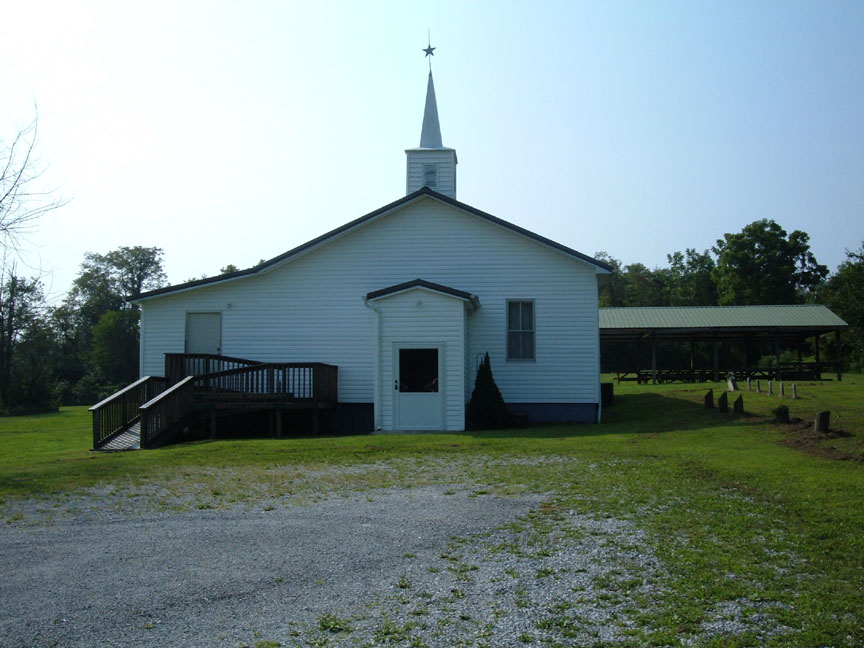
| Description | : | Older part of the cemetery is on the right side of the church. The new section is enclosed in a chain-link fence in front of the church. |
frequently asked questions (FAQ):
-
Where is Greenwood Missionary Baptist Cemetery?
Greenwood Missionary Baptist Cemetery is located at Greenwood, McCreary County ,Kentucky ,USA.
-
Greenwood Missionary Baptist Cemetery cemetery's updated grave count on graveviews.com?
0 memorials
-
Where are the coordinates of the Greenwood Missionary Baptist Cemetery?
Latitude: 36.8746600
Longitude: -84.4968580
Nearby Cemetories:
1. Miller Cemetery
Greenwood, McCreary County, USA
Coordinate: 36.8747850, -84.4970220
2. Greenwood Cemetery
Greenwood, McCreary County, USA
Coordinate: 36.8784200, -84.4992800
3. Solomon Cemetery
McCreary County, USA
Coordinate: 36.8705560, -84.4897220
4. Jones Family Cemetery
Greenwood, McCreary County, USA
Coordinate: 36.8705560, -84.4894440
5. Cooper Creek Cemetery
McCreary County, USA
Coordinate: 36.8603300, -84.5126500
6. Hughes Cemetery
McCreary County, USA
Coordinate: 36.8596992, -84.4642029
7. Polley Holloway Cemetery
Blue John, Pulaski County, USA
Coordinate: 36.9153260, -84.4897590
8. Keith Cemetery
McCreary County, USA
Coordinate: 36.8553009, -84.5475006
9. Piney Grove Cemetery
McCreary County, USA
Coordinate: 36.8311005, -84.4736023
10. Alpine Cemetery
Pulaski County, USA
Coordinate: 36.9178009, -84.5252991
11. Neelys Creek Cemetery
Academy, Calgary Census Division, Canada
Coordinate: 36.9305700, -84.5176400
12. Blue John Cemetery
Blue John, Pulaski County, USA
Coordinate: 36.9328600, -84.4785500
13. Pleasant Knob Cemetery
McCreary County, USA
Coordinate: 36.8594140, -84.4240910
14. Roberts Chapel Cemetery
Beulah Heights, McCreary County, USA
Coordinate: 36.8044260, -84.4696700
15. Wiborg Cemetery
Flat Rock, McCreary County, USA
Coordinate: 36.8006200, -84.4884200
16. Cave Springs Cemetery
Pulaski County, USA
Coordinate: 36.9169006, -84.5789032
17. Flat Rock Cemetery
Flat Rock, McCreary County, USA
Coordinate: 36.7954800, -84.4838200
18. Hamilton Cemetery
Pulaski County, USA
Coordinate: 36.9552994, -84.5042038
19. Beulah Mountain Christian Academy Cemetery
Beulah Heights, McCreary County, USA
Coordinate: 36.8028800, -84.4388460
20. Calhoun Cemetery #1
Blue John, Pulaski County, USA
Coordinate: 36.9643059, -84.4919052
21. Calhoun Cemetery #2
Blue John, Pulaski County, USA
Coordinate: 36.9666100, -84.4897308
22. Possumtrot Cemetery
Burnside, Pulaski County, USA
Coordinate: 36.9653000, -84.4707700
23. Hollars Cemetery
Bronston, Pulaski County, USA
Coordinate: 36.9091988, -84.6072006
24. Farris Cemetery
McCreary County, USA
Coordinate: 36.9416510, -84.4111110