
| Memorials | : | 0 |
| Location | : | Burnside, Pulaski County, USA |
| Coordinate | : | 36.9653000, -84.4707700 |
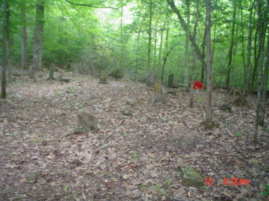
| Description | : | Turn onto Blue John Rd off of HWY 27 in Burnside, Kentucky. 2.7 miles later Blue John Cemetery will be on your right, just keep going. At 6.1 miles down Blue John Road there will be a farm on the right that has a very large and strange configuration of stones all alone in one area of the field. Looks man made and has 1 very large stone standing straight up in the middle like a monument? You cant miss it if your looking to your right at 6.1 miles. Go up the driveway towards the... Read More |
frequently asked questions (FAQ):
-
Where is Possumtrot Cemetery?
Possumtrot Cemetery is located at Burnside, Pulaski County ,Kentucky , 42519USA.
-
Possumtrot Cemetery cemetery's updated grave count on graveviews.com?
0 memorials
-
Where are the coordinates of the Possumtrot Cemetery?
Latitude: 36.9653000
Longitude: -84.4707700
Nearby Cemetories:
1. Stephens Cemetery
Blue John, Pulaski County, USA
Coordinate: 36.9689102, -84.4734726
2. Calhoun Cemetery #2
Blue John, Pulaski County, USA
Coordinate: 36.9666100, -84.4897308
3. Calhoun Cemetery #1
Blue John, Pulaski County, USA
Coordinate: 36.9643059, -84.4919052
4. Hamilton Cemetery
Pulaski County, USA
Coordinate: 36.9552994, -84.5042038
5. Blue John Cemetery
Blue John, Pulaski County, USA
Coordinate: 36.9328600, -84.4785500
6. Cumberland Cemetery
Pulaski County, USA
Coordinate: 36.9783211, -84.5133972
7. Haynes Cemetery
Pulaski County, USA
Coordinate: 36.9982986, -84.5158005
8. Dixie Cemetery
Burnside, Pulaski County, USA
Coordinate: 36.9833412, -84.5277786
9. Neelys Creek Cemetery
Academy, Calgary Census Division, Canada
Coordinate: 36.9305700, -84.5176400
10. Polley Holloway Cemetery
Blue John, Pulaski County, USA
Coordinate: 36.9153260, -84.4897590
11. Farris Cemetery
McCreary County, USA
Coordinate: 36.9416510, -84.4111110
12. Colyer East Cemetery
Pulaski County, USA
Coordinate: 37.0176000, -84.5109000
13. Alpine Cemetery
Pulaski County, USA
Coordinate: 36.9178009, -84.5252991
14. Rowe Cemetery
Elihu, Pulaski County, USA
Coordinate: 37.0173600, -84.5294100
15. Ballou Cemetery
Pulaski County, USA
Coordinate: 36.9830017, -84.5706024
16. Greenwood Cemetery
Greenwood, McCreary County, USA
Coordinate: 36.8784200, -84.4992800
17. Boyd Family Cemetery
Dykes, Pulaski County, USA
Coordinate: 37.0393167, -84.4044167
18. Miller Cemetery
Greenwood, McCreary County, USA
Coordinate: 36.8747850, -84.4970220
19. Greenwood Missionary Baptist Cemetery
Greenwood, McCreary County, USA
Coordinate: 36.8746600, -84.4968580
20. Owens Cemetery
Burnside, Pulaski County, USA
Coordinate: 36.9958000, -84.5843964
21. Jones Family Cemetery
Greenwood, McCreary County, USA
Coordinate: 36.8705560, -84.4894440
22. Solomon Cemetery
McCreary County, USA
Coordinate: 36.8705560, -84.4897220
23. Waddle-Hamm Cemetery
Alcalde, Pulaski County, USA
Coordinate: 37.0505790, -84.5290310
24. Cave Springs Cemetery
Pulaski County, USA
Coordinate: 36.9169006, -84.5789032