
| Memorials | : | 4 |
| Location | : | Indiana, Indiana County, USA |
| Phone | : | (724) 465-9116 |
| Coordinate | : | 40.6974945, -79.1025085 |
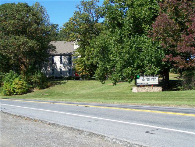
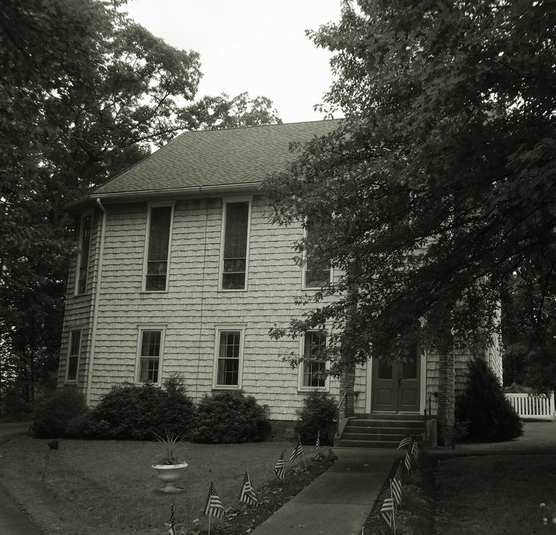
| Description | : | In Indiana, Pennsylvania, from the intersection of the Indiana Bypass U.S. Route 422 and U.S. Route 119, take U.S. Route 119 North. Drive for 9.43 miles, on 119 North, to the Musser Nursery #3, located at the intersection of Grove Chapel Road and U.S. Route 119. Grove Chapel is the 1st right turn just past the nursery, off Route 119 and almost directly across from Grove Chapel Road. If you go around the bend, from the Nursery, you have gone too far. |
frequently asked questions (FAQ):
-
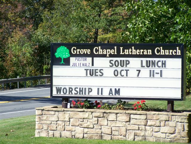
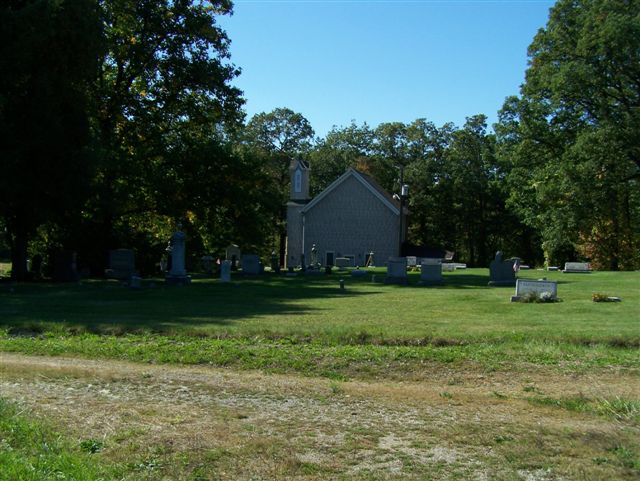
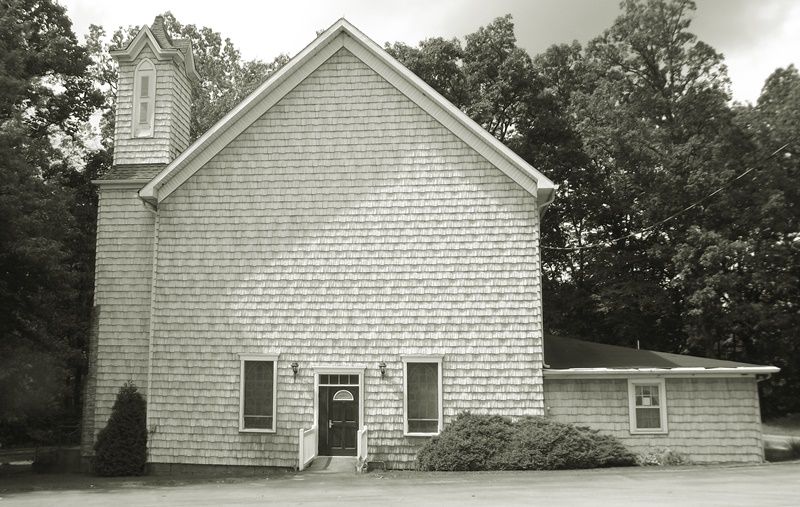
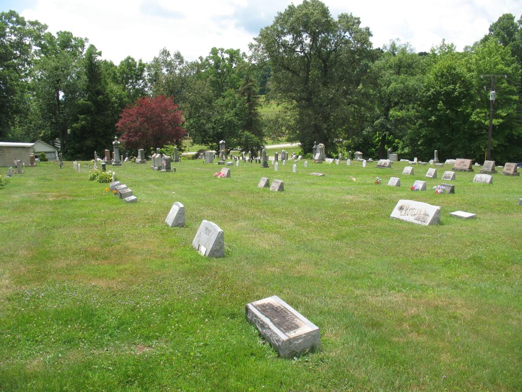
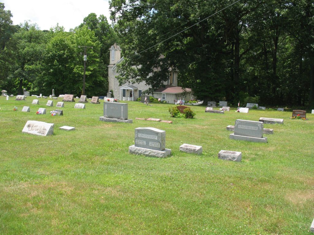
Where is Grove Chapel Lutheran Church Cemetery?
Grove Chapel Lutheran Church Cemetery is located at Rural Route #6 (Rayne Township) Indiana, Indiana County ,Pennsylvania , 15747USA.
-
Grove Chapel Lutheran Church Cemetery cemetery's updated grave count on graveviews.com?
1 memorials
-
Where are the coordinates of the Grove Chapel Lutheran Church Cemetery?
Latitude: 40.6974945
Longitude: -79.1025085
Nearby Cemetories:
1. Rayne Presbyterian Church Cemetery
Indiana, Indiana County, USA
Coordinate: 40.6909050, -79.0695580
2. Crooked Creek Baptist Cemetery
Rayne Township, Indiana County, USA
Coordinate: 40.7116000, -79.1517000
3. Old Washington Church Cemetery
Home, Indiana County, USA
Coordinate: 40.7318993, -79.1346970
4. German Baptist Church Cemetery
Clymer, Indiana County, USA
Coordinate: 40.6987534, -79.0461960
5. Christ Our Savior Orthodox Church Cemetery
Indiana, Indiana County, USA
Coordinate: 40.6635380, -79.0622810
6. Ruffner Cemetery
Rayne Township, Indiana County, USA
Coordinate: 40.6784980, -79.0468130
7. Washington Church Cemetery
Home, Indiana County, USA
Coordinate: 40.7366730, -79.1355620
8. Frech Family Cemetery
Indiana, Indiana County, USA
Coordinate: 40.6704600, -79.1591960
9. Sample Run Cemetery
Cherryhill Township, Indiana County, USA
Coordinate: 40.6666985, -79.0307999
10. Saint Michael's Orthodox Greek Catholic Cemetery
Clymer, Indiana County, USA
Coordinate: 40.6666630, -79.0305760
11. Church of the Resurrection Cemetery
Clymer, Indiana County, USA
Coordinate: 40.6655000, -79.0305100
12. Cherry Hill Progressive Brethren Cemetery
Penn Run, Indiana County, USA
Coordinate: 40.6397018, -79.0650024
13. New Life Evangelical Lutheran Church Cemetery
Clymer, Indiana County, USA
Coordinate: 40.7256317, -79.0229416
14. Center Presbyterian Cemetery
Creekside, Indiana County, USA
Coordinate: 40.6849000, -79.1966000
15. Saint Bernard's Cemetery
Indiana, Indiana County, USA
Coordinate: 40.6282997, -79.1352997
16. Dixonville Wesleyan Methodist Church Cemetery
Indiana County, USA
Coordinate: 40.7195000, -79.0049000
17. Christ Episcopal Church Memorial Garden
Indiana, Indiana County, USA
Coordinate: 40.6213913, -79.1527786
18. First Presbyterian Churchyard
Indiana, Indiana County, USA
Coordinate: 40.6213740, -79.1529620
19. Church of the Resurrection Cemetery
Dixonville, Indiana County, USA
Coordinate: 40.7322498, -78.9996384
20. Marion Center Memorial Cemetery
Marion Center, Indiana County, USA
Coordinate: 40.7744000, -79.0530000
21. Rich Hill Cemetery
Indiana County, USA
Coordinate: 40.6497002, -79.0077972
22. Memorial Park Cemetery
Indiana County, USA
Coordinate: 40.6193060, -79.1512817
23. Nicewonger Cemetery
Clymer, Indiana County, USA
Coordinate: 40.6624230, -78.9909660
24. Harmony Grove Cemetery
Indiana County, USA
Coordinate: 40.7318993, -79.2200012