| Memorials | : | 0 |
| Location | : | Woodbury, East Devon District, England |
| Coordinate | : | 50.6539830, -3.4204550 |
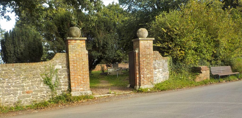
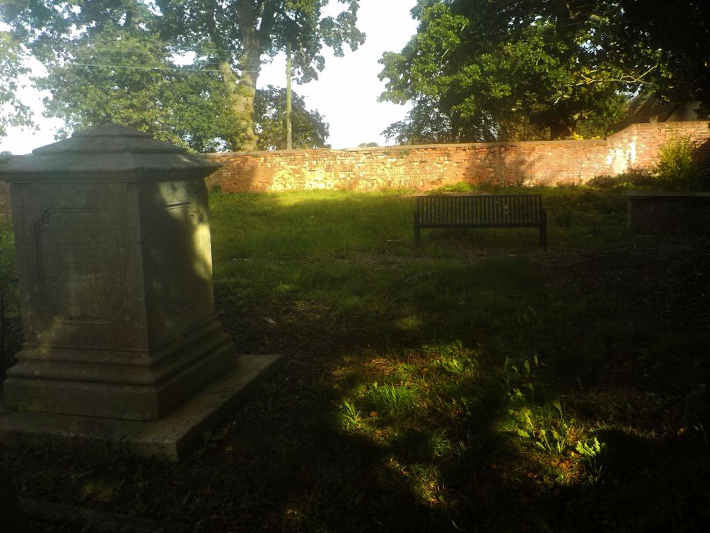
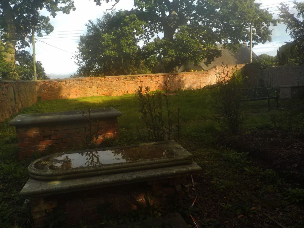
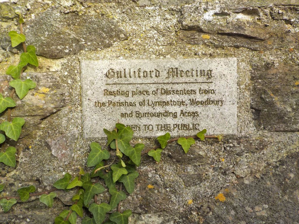
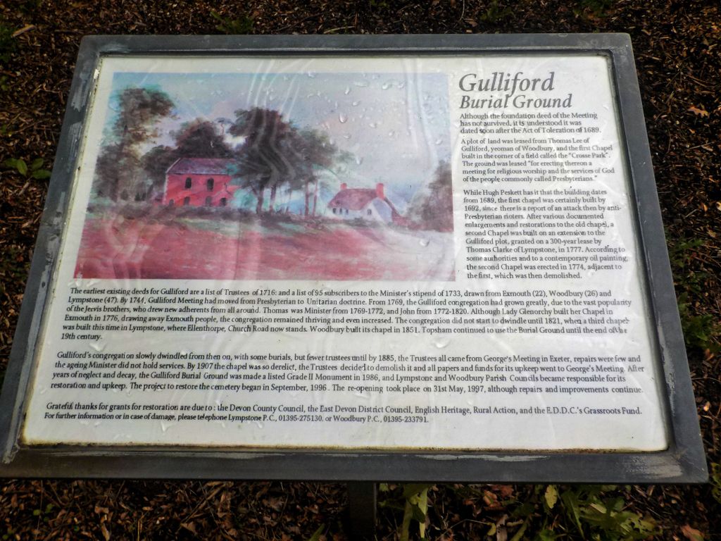
| Description | : | Gulliford Burial Ground (situated by the border of Woodbury parish with Lympstone parish) belonged to the Meeting House, (which was one of the earliest in Devon), it was a Presbyterian and later Unitarian place of worship going back to the 17th century to a time of religious upheaval and risk of imprisonment to those not toeing the religious line. The first chapel was built in 1687, for the religious dissenters who were locals of Lympstone, Woodbury, Ebford, Exmouth & the surrounding areas. In 1774 a further plot of land was donated to extend the site for a second larger chapel to be... Read More |
frequently asked questions (FAQ):
-
Where is Gulliford Burial Ground?
Gulliford Burial Ground is located at Meeting Lane Woodbury, East Devon District ,Devon ,England.
-
Gulliford Burial Ground cemetery's updated grave count on graveviews.com?
0 memorials
-
Where are the coordinates of the Gulliford Burial Ground?
Latitude: 50.6539830
Longitude: -3.4204550
Nearby Cemetories:
1. Point in View Chapel
Exmouth, East Devon District, England
Coordinate: 50.6427390, -3.4044760
2. St Clement's Churchyard
Powderham, Teignbridge District, England
Coordinate: 50.6504400, -3.4543420
3. St Swithun's Church Burial Ground
Woodbury, East Devon District, England
Coordinate: 50.6786900, -3.4014000
4. Pound Lane Cemetery
Exmouth, East Devon District, England
Coordinate: 50.6302830, -3.3957290
5. Powderham Castle
Powderham, Teignbridge District, England
Coordinate: 50.6430930, -3.4620230
6. St John in the Wilderness Churchyard
Exmouth, East Devon District, England
Coordinate: 50.6419000, -3.3758000
7. St. Paul's Churchyard
Starcross, Teignbridge District, England
Coordinate: 50.6252000, -3.4497800
8. All Saints Church
Kenton, Teignbridge District, England
Coordinate: 50.6400926, -3.4747531
9. Clyst St George
Clyst St George, East Devon District, England
Coordinate: 50.6910550, -3.4397400
10. Holy Trinity Churchyard
Woodbury Salterton, East Devon District, England
Coordinate: 50.6928900, -3.3997900
11. Kenton Cemetery
Kenton, Teignbridge District, England
Coordinate: 50.6353408, -3.4797942
12. St. Margaret and St. Andrew Churchyard
Littleham, East Devon District, England
Coordinate: 50.6229200, -3.3744500
13. Topsham Cemetery
Topsham, City of Exeter, England
Coordinate: 50.6878870, -3.4650390
14. St. Mary's Churchyard
Cofton, Teignbridge District, England
Coordinate: 50.6133000, -3.4596500
15. St Mary's Churchyard
Clyst St Mary, East Devon District, England
Coordinate: 50.7039700, -3.4472500
16. Exminster Parish Cemetery
Exminster, Teignbridge District, England
Coordinate: 50.6799770, -3.4930130
17. St Martin of Tours Churchyard
Exminster, Teignbridge District, England
Coordinate: 50.6795000, -3.4938000
18. St. Peter's Burial Ground
Budleigh Salterton, East Devon District, England
Coordinate: 50.6342750, -3.3336640
19. Church of St Petrock and St Barnabus
Farringdon, East Devon District, England
Coordinate: 50.7120900, -3.3926240
20. All Saints Churchyard
East Budleigh, East Devon District, England
Coordinate: 50.6565500, -3.3224900
21. Bicton, St Mary's Church
Budleigh Salterton, East Devon District, England
Coordinate: 50.6639870, -3.3130370
22. St Luke Churchyard
Exeter, City of Exeter, England
Coordinate: 50.7028250, -3.5017740
23. St. Michael and All Angels' Churchyard
Sowton, East Devon District, England
Coordinate: 50.7232100, -3.4522400
24. St. Mary's Churchyard
Aylesbeare, East Devon District, England
Coordinate: 50.7189744, -3.3644634

