
| Memorials | : | 202 |
| Location | : | Inverell Shire, Australia |
| Website | : | inverell.nsw.gov.au/building-and-development/history-and-heritage/cemeteries/ |
| Coordinate | : | -29.7814400, 150.9798960 |
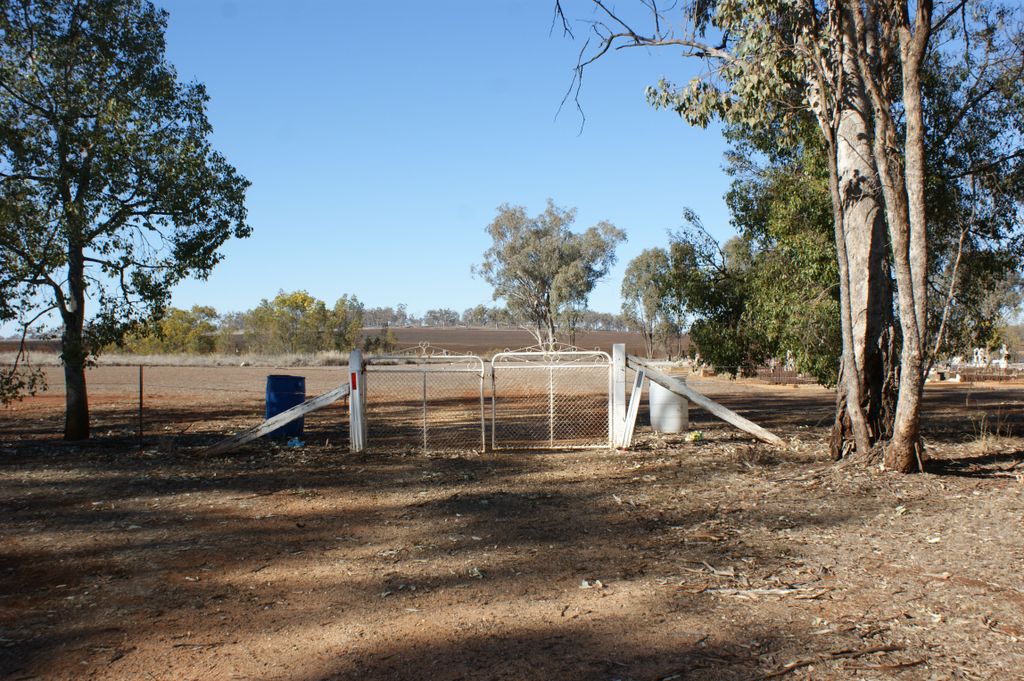
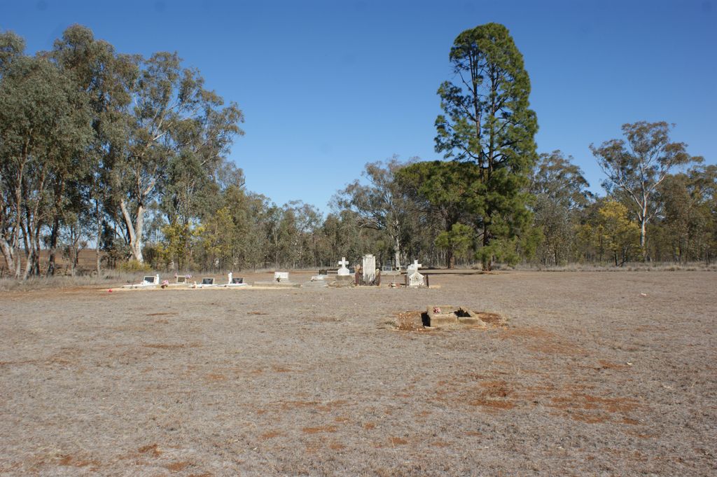
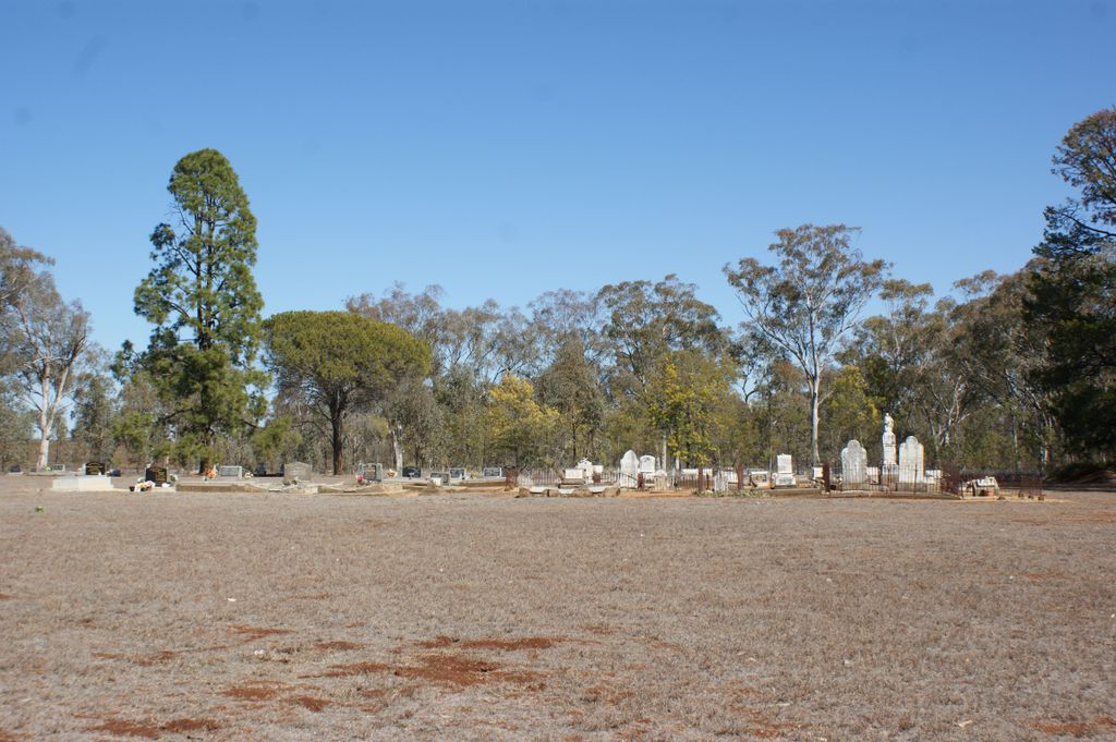
| Description | : | Gum Flat is a small cemetery with four denominational portions - Anglican, Catholic, Methodist, and Presbyterian - and is maintained in good order by the Inverell Shire Council. Inscriptions found range in date from 1900 to the present day. The graves of four little children in the Catholic and Anglican portions of the cemetery resulted from a tragic farm storage barn fire in 1935. Gum Flat is a small village west of Inverell. From Inverell take the Gwydir Highway west for 4km and turn left onto the Copeton Dam Road. From that intersection, it is 9.6km to the cemetery, which... Read More |
frequently asked questions (FAQ):
-
Where is Gum Flat General Cemetery?
Gum Flat General Cemetery is located at 965 Copeton Dam Road Inverell Shire ,New South Wales , 2360Australia.
-
Gum Flat General Cemetery cemetery's updated grave count on graveviews.com?
2 memorials
-
Where are the coordinates of the Gum Flat General Cemetery?
Latitude: -29.7814400
Longitude: 150.9798960


Nearby Cemetories:
1. Little Plain New Cemetery
Little Plain, Inverell Shire, Australia
Coordinate: -29.7340510, 150.9572450
2. Little Plain Old General Cemetery
Little Plain, Inverell Shire, Australia
Coordinate: -29.7294270, 150.9519770
3. Ashford General Cemetery
Ashford, Inverell Shire, Australia
Coordinate: -29.7736944, 151.1113139
4. Thorley & Sons Funeral Services
Inverell, Inverell Shire, Australia
Coordinate: -29.7586106, 151.1239587
5. Inverell Cemetery
Inverell, Inverell Shire, Australia
Coordinate: -29.7564000, 151.1254420
6. Copeton General Cemetery
Copeton, Armidale Regional Council, Australia
Coordinate: -29.9103050, 150.9421920
7. Inverell Station Cemetery
Inverell Shire, Australia
Coordinate: -29.7415900, 151.1469100
8. Howell Cemetery
Howell, Armidale Regional Council, Australia
Coordinate: -29.9410000, 151.0610000
9. Bannockburn Cemetery
Bannockburn, Inverell Shire, Australia
Coordinate: -29.6079900, 151.0304300
10. Delungra Cemetery
Delungra, Inverell Shire, Australia
Coordinate: -29.6632800, 150.8085700
11. Elsmore General Cemetery
Elsmore, Inverell Shire, Australia
Coordinate: -29.8022000, 151.2673650
12. Dinton Vale Cemetery
Inverell, Inverell Shire, Australia
Coordinate: -29.5551600, 151.1317500
13. Lone Graves
Tingha, Armidale Regional Council, Australia
Coordinate: -29.9556040, 151.2124730
14. Tingha Cemetery
Tingha, Armidale Regional Council, Australia
Coordinate: -29.9610310, 151.2111390
15. Graman Cemetery
Graman, Inverell Shire, Australia
Coordinate: -29.4882840, 150.9469770
16. Bukkulla Station Private Cemetery
Bukkulla, Inverell Shire, Australia
Coordinate: -29.4786350, 151.1263850
17. Bingara General Cemetery
Bingara, Gwydir Shire, Australia
Coordinate: -29.8795380, 150.5691070
18. Warialda General Cemetery
Warialda, Gwydir Shire, Australia
Coordinate: -29.5287510, 150.5598600
19. Nullamanna Cemetery
Inverell, Inverell Shire, Australia
Coordinate: -29.3152600, 151.0418700
20. Aberfoyle General Cemetery
Aberfoyle, Armidale Regional Council, Australia
Coordinate: -30.2616030, 151.0208860
21. Lone Graves
Tenterden, Armidale Regional Council, Australia
Coordinate: -30.1252340, 151.4340020
22. Wellingrove Presbyterian Cemetery
Wellingrove, Glen Innes Severn Council, Australia
Coordinate: -29.6436030, 151.5663530
23. Moredun Cemetery
Moredun, Armidale Regional Council, Australia
Coordinate: -29.9981700, 151.5390080
24. Wandsworth General Cemetery
Wandsworth, Armidale Regional Council, Australia
Coordinate: -30.0591590, 151.5291450