
| Memorials | : | 0 |
| Location | : | Trenton, Gibson County, USA |
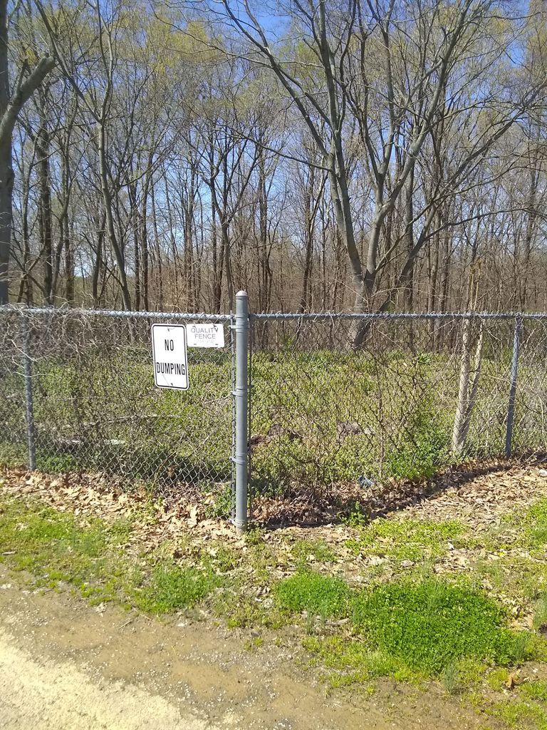
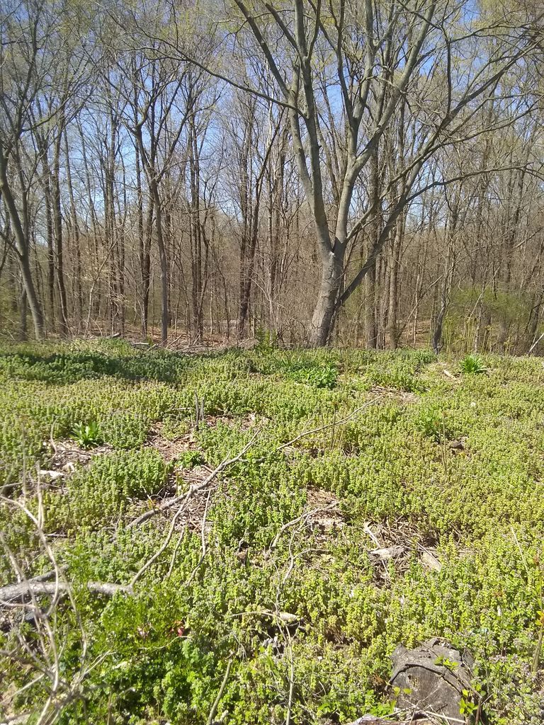
| Description | : | At the back right or northwest corner of Oakland Cemetery in Trenton Tennessee there is a location where murdered slaves were buried. One burial was created Dec 20 1862 after the Battle of Trenton Tennessee. Charlie Buck Harwood was a witness to this burial and recorded it in his journal. General Forrest noticed a slave that had great skill in being a blacksmith. He asked him to join his men and continue with them on the First West Tennessee Raid. When the general asked the man, he stated "I would rather rot in hell than join... Read More |
frequently asked questions (FAQ):
-
Where is Gum Thicket Slave Cemetery?
Gum Thicket Slave Cemetery is located at Trenton, Gibson County, USA.
-
Gum Thicket Slave Cemetery cemetery's updated grave count on graveviews.com?
0 memorials
Nearby Cemetories:
1. Bethpage Baptist Church Cemetery
Gibson County, USA
Coordinate: 35.9706001, -89.0980988
2. Friendship Grove MB Church Cemetery
Brazil, Gibson County, USA
Coordinate: 35.8925018, -89.0606003
3. Old Beulah Cemetery
Brazil, Gibson County, USA
Coordinate: 36.1050010, -88.8742630
4. Zion Cemetery
Brazil, Gibson County, USA
Coordinate: 36.1061400, -88.8737340
5. Follis Chapel Cemetery
Gibson County, USA
Coordinate: 36.0402985, -88.7397003
6. Davis Family Cemetery
Frog Jump, Gibson County, USA
Coordinate: 36.0756030, -88.8239690
7. Jones Family Cemetery
Frog Jump, Gibson County, USA
Coordinate: 36.0511110, -88.8449340
8. Moore's Chapel Cemetery
Moores Chapel, Gibson County, USA
Coordinate: 36.0451750, -88.8527140
9. Union United Methodist Cemetery
Gibson County, USA
Coordinate: 36.0822690, -88.7552980
10. Veazey Cemetery
Gibson County, USA
Coordinate: 36.0936012, -88.8255997
11. Watson Cemetery
Gibson County, USA
Coordinate: 36.0161018, -88.7928009
12. Williams Chapel Cemetery
Gibson County, USA
Coordinate: 36.0677210, -88.7398220
13. Wilson Cemetery
Gibson County, USA
Coordinate: 35.9706001, -89.0980988
14. Bowers Chapel Cemetery
Gibson County, USA
Coordinate: 35.8925018, -89.0606003
15. Antioch Cumberland Presbyterian Cemetery
Bradford, Gibson County, USA
Coordinate: 36.1050010, -88.8742630
16. Antioch Methodist Cemetery
Bradford, Gibson County, USA
Coordinate: 36.1061400, -88.8737340
17. Belews Chapel Cemetery
Bradford, Gibson County, USA
Coordinate: 36.0402985, -88.7397003
18. Bradford Cemetery
Bradford, Gibson County, USA
Coordinate: 36.0756030, -88.8239690
19. Church of Jesus Christ Cemetery
Bradford, Gibson County, USA
Coordinate: 36.0511110, -88.8449340
20. Davis Grove Cemetery
Bradford, Gibson County, USA
Coordinate: 36.0451750, -88.8527140
21. Holt Family Cemetery
Bradford, Gibson County, USA
Coordinate: 36.0822690, -88.7552980
22. Locust Grove Church of Christ Cemetery
Bradford, Gibson County, USA
Coordinate: 36.0936012, -88.8255997
23. Mount Pisgah Baptist Church Cemetery
Bradford, Gibson County, USA
Coordinate: 36.0161018, -88.7928009
24. Mount Pleasant Cemetery
Bradford, Gibson County, USA
Coordinate: 36.0677210, -88.7398220