
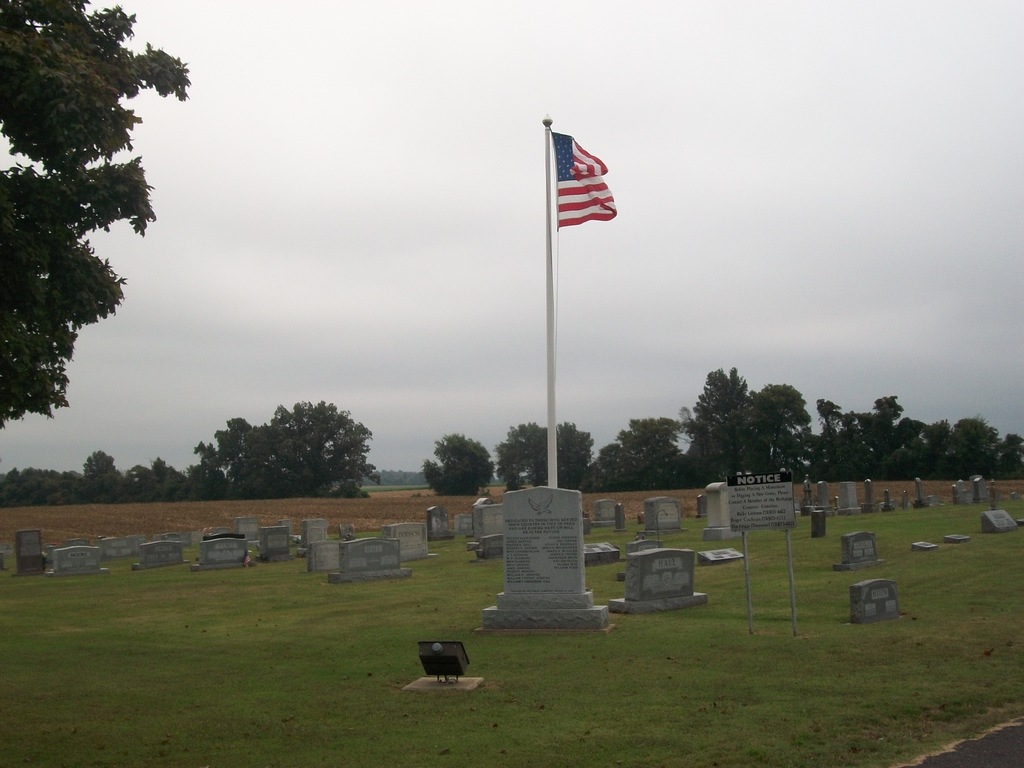
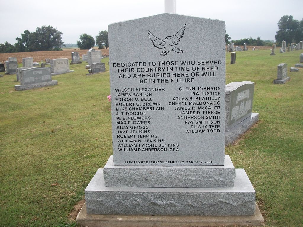
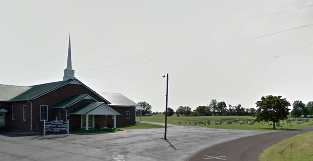
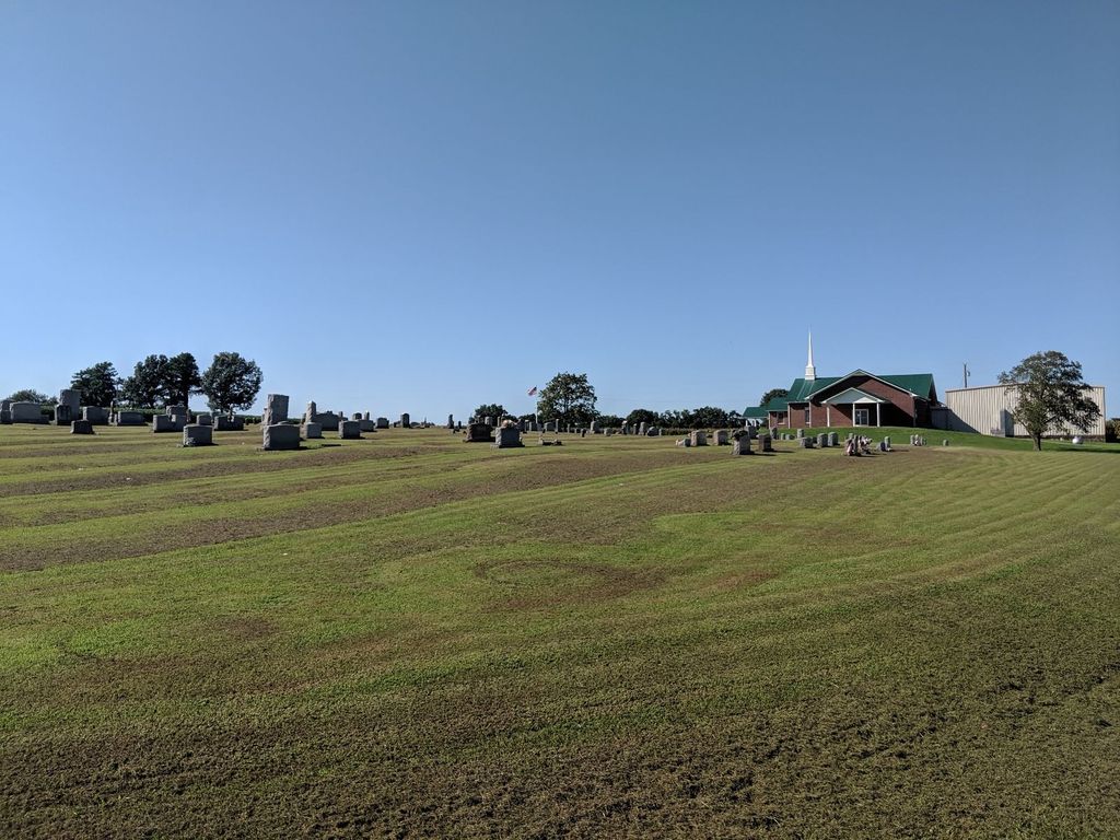
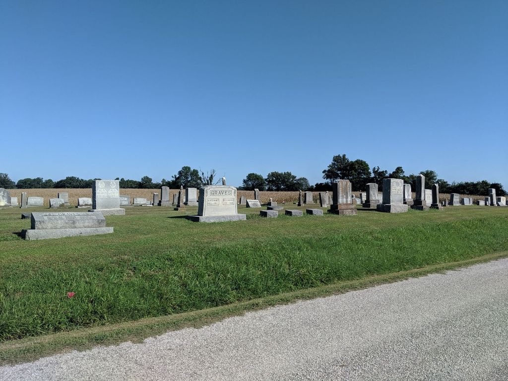
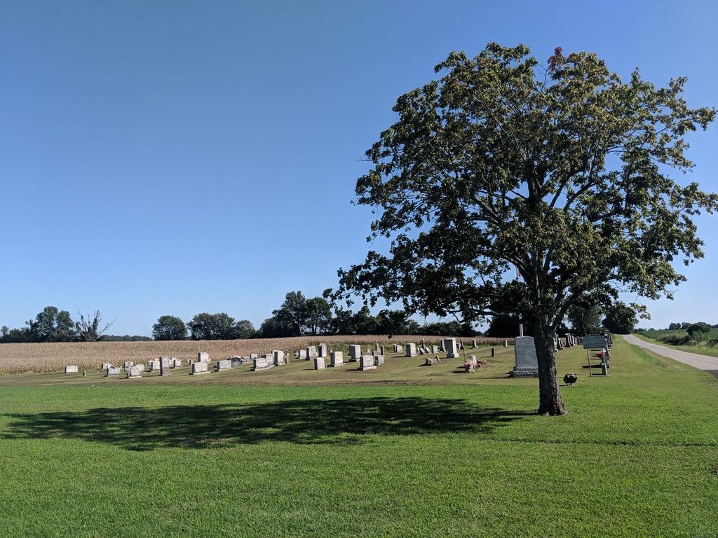
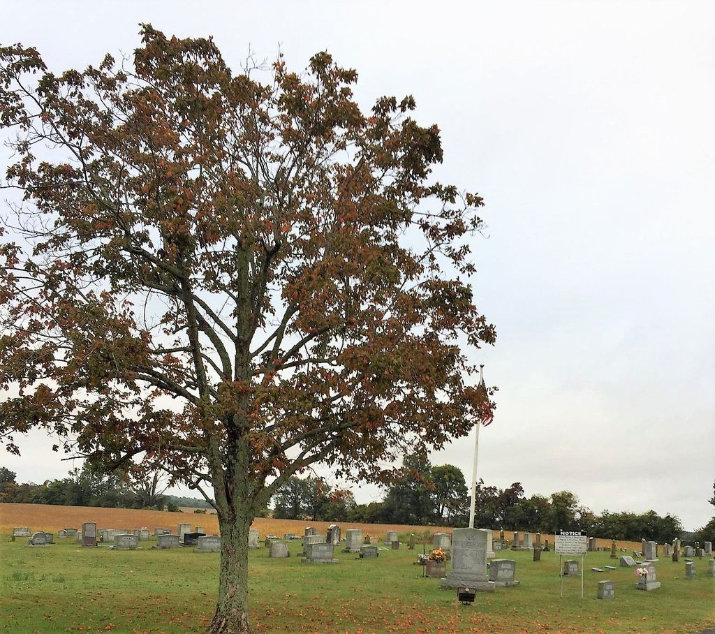
| Memorials | : | 396 |
| Location | : | Gibson County, USA |
| Coordinate | : | 36.1683000, -89.0950000 |
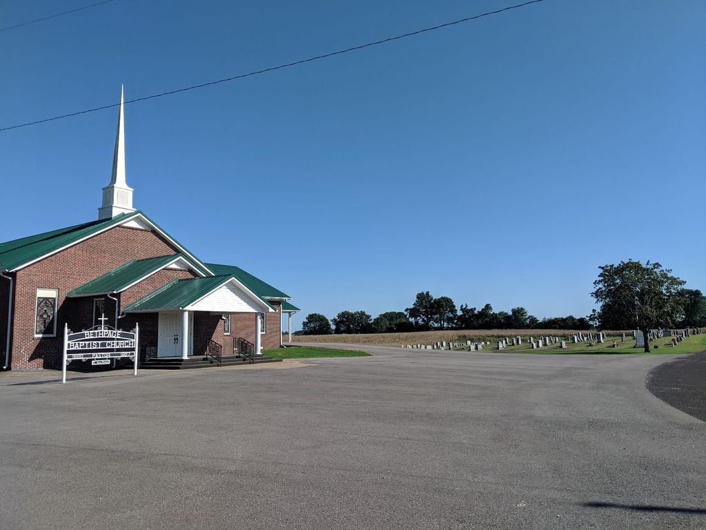
| Description | : | From intersection of TN-89 & old Turnpike Rd. in Mason Hall, travel west on TN-89 for 0.5 mi., turning south (left) onto Baseline Rd., going 1.9 mi., turning east (left) onto Morella Rd., going 0.7 mi., turning south (right) onto Bethpage Rd. & going 0.6 mi. to the church on the corner, before turning south (right) onto Preacher Dowland Rd. to the cemetery entrance. |
frequently asked questions (FAQ):
-
Where is Bethpage Baptist Church Cemetery?
Bethpage Baptist Church Cemetery is located at Preacher Dowland Rd Gibson County ,Tennessee , 38233USA.
-
Bethpage Baptist Church Cemetery cemetery's updated grave count on graveviews.com?
396 memorials
-
Where are the coordinates of the Bethpage Baptist Church Cemetery?
Latitude: 36.1683000
Longitude: -89.0950000
Nearby Cemetories:
1. North Union Cemetery
Kenton, Gibson County, USA
Coordinate: 36.1652985, -89.0736008
2. Mason Hall Cemetery
Mason Hall, Obion County, USA
Coordinate: 36.2042100, -89.0935750
3. Cool Springs Cumberland Presbyterian Cemetery
Cool Springs, Gibson County, USA
Coordinate: 36.1618996, -89.1393967
4. Pettus Family Cemetery
Yorkville, Gibson County, USA
Coordinate: 36.1797000, -89.1472700
5. New Salem Baptist Church Cemetery
Mason Hall, Obion County, USA
Coordinate: 36.2150800, -89.1016300
6. Hollomon Cemetery
Mason Hall, Obion County, USA
Coordinate: 36.2143980, -89.0792070
7. Liberty Grove Cemetery
Rutherford, Gibson County, USA
Coordinate: 36.1439760, -89.0371100
8. Jones Cemetery
Trimble, Dyer County, USA
Coordinate: 36.1891590, -89.1589510
9. Bells Chapel Cemetery
Dyer, Gibson County, USA
Coordinate: 36.1164017, -89.0686035
10. Reed Burial Ground
Yorkville, Gibson County, USA
Coordinate: 36.1176420, -89.1372490
11. West Side Cemetery
Kenton, Gibson County, USA
Coordinate: 36.1979200, -89.0267000
12. Sunnyside Cemetery
Kenton, Gibson County, USA
Coordinate: 36.1982994, -89.0252991
13. Smithson-Askew Cemetery
Rutherford, Gibson County, USA
Coordinate: 36.1667300, -89.0159600
14. Carroll Cemetery
Rutherford, Gibson County, USA
Coordinate: 36.1453900, -89.0140800
15. Rossons Cemetery
Kenton, Gibson County, USA
Coordinate: 36.1799158, -89.0083141
16. Thompson Cemetery
Rutherford, Gibson County, USA
Coordinate: 36.1047220, -89.0553430
17. Yorkville Cumberland Presbyterian Church Cemetery
Yorkville, Gibson County, USA
Coordinate: 36.1007996, -89.1231003
18. Cowan Cemetery
Dyer, Gibson County, USA
Coordinate: 36.0978120, -89.0753020
19. Roach Cemetery
Obion County, USA
Coordinate: 36.2398222, -89.1122983
20. New Concord Cemetery
Kenton, Obion County, USA
Coordinate: 36.2222210, -89.0341160
21. Yorkville Cemetery
Yorkville, Gibson County, USA
Coordinate: 36.0980988, -89.1207962
22. Flowers Chapel Cemetery
Rutherford, Gibson County, USA
Coordinate: 36.1198820, -89.0265080
23. Miles Cemetery
Kenton, Obion County, USA
Coordinate: 36.2453720, -89.1021810
24. New Victory MB Church Cemetery
Rutherford, Gibson County, USA
Coordinate: 36.1596780, -88.9978150