
| Memorials | : | 0 |
| Location | : | Emporia, Lyon County, USA |
| Coordinate | : | 38.3646600, -96.1138300 |
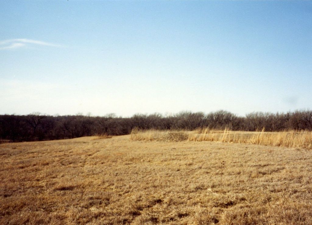
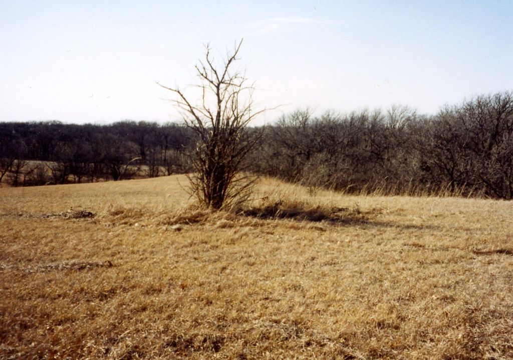
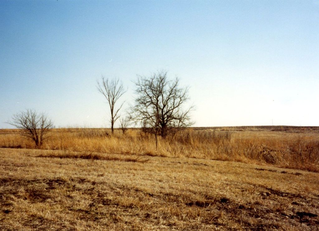
| Description | : | The Gunkel Bural Ground is now on private property. It is located high on the bluff south of the Cottonwood River, half a mile east of the Rocky Ford Bridge. It overlooks the Cottonwood River Valley to the north with wide stretches of prairie in other directions. In the 1930's, it was stated that two elm trees were close to the center of the old burial plot, where stone lay in disarray along with the remains of a stone fence. Today, one can still see a few scattered stones. This abandoned burying ground was started... Read More |
frequently asked questions (FAQ):
-
Where is Gunkel Burial Ground?
Gunkel Burial Ground is located at Emporia, Lyon County ,Kansas ,USA.
-
Gunkel Burial Ground cemetery's updated grave count on graveviews.com?
0 memorials
-
Where are the coordinates of the Gunkel Burial Ground?
Latitude: 38.3646600
Longitude: -96.1138300
Nearby Cemetories:
1. Wilhite Cemetery
Emporia, Lyon County, USA
Coordinate: 38.3830500, -96.1240900
2. Fowler Cemetery
Emporia, Lyon County, USA
Coordinate: 38.3897018, -96.1091995
3. Sacred Heart Cemetery
Emporia, Lyon County, USA
Coordinate: 38.3932991, -96.1418991
4. Chicago Mound Cemetery
Neosho Rapids, Lyon County, USA
Coordinate: 38.3478012, -96.0610962
5. Evergreen Cemetery
Emporia, Lyon County, USA
Coordinate: 38.3572006, -96.1791992
6. Camp Alexander Grounds
Emporia, Lyon County, USA
Coordinate: 38.4177210, -96.1072080
7. Soden Family Cemetery
Emporia, Lyon County, USA
Coordinate: 38.3872190, -96.1813510
8. Badger Creek Cemetery
Neosho Rapids, Lyon County, USA
Coordinate: 38.4049988, -96.0582962
9. Forest Hill Cemetery
Emporia, Lyon County, USA
Coordinate: 38.4124000, -96.0604900
10. Saint Andrews Episcopal Church Columbarium
Emporia, Lyon County, USA
Coordinate: 38.4084053, -96.1796799
11. Greenwood Cemetery
Emporia, Lyon County, USA
Coordinate: 38.3546982, -96.2082977
12. Maplewood Memorial Lawn Cemetery
Emporia, Lyon County, USA
Coordinate: 38.4202995, -96.2055969
13. Union Cemetery
Emporia, Lyon County, USA
Coordinate: 38.4375000, -96.0425034
14. Mennonite Cemetery
Hartford, Lyon County, USA
Coordinate: 38.3036003, -96.0167007
15. Saint Joseph Cemetery
Olpe, Lyon County, USA
Coordinate: 38.2667007, -96.1628036
16. Mount Hope Cemetery
Neosho Rapids, Lyon County, USA
Coordinate: 38.3768997, -95.9721985
17. Saint Lawrence Catholic Cemetery
Neosho Rapids, Lyon County, USA
Coordinate: 38.3767710, -95.9704260
18. Pleasant Ridge Cemetery
Olpe, Lyon County, USA
Coordinate: 38.2602997, -96.1813965
19. Cottonwood Cemetery
Emporia, Lyon County, USA
Coordinate: 38.4130096, -96.2725525
20. Stark Cemetery
Olpe, Lyon County, USA
Coordinate: 38.2789600, -96.2446300
21. Maydale Cemetery
Olpe, Lyon County, USA
Coordinate: 38.2289009, -96.1181030
22. Saint Marys Cemetery
Hartford, Lyon County, USA
Coordinate: 38.2952995, -95.9516983
23. Hartford Cemetery
Hartford, Lyon County, USA
Coordinate: 38.2896996, -95.9524994
24. Fairview Cemetery
Olpe, Lyon County, USA
Coordinate: 38.2050018, -96.0947037