
| Memorials | : | 0 |
| Location | : | Dry Fork, Barren County, USA |
| Coordinate | : | 36.7887556, -85.9135907 |
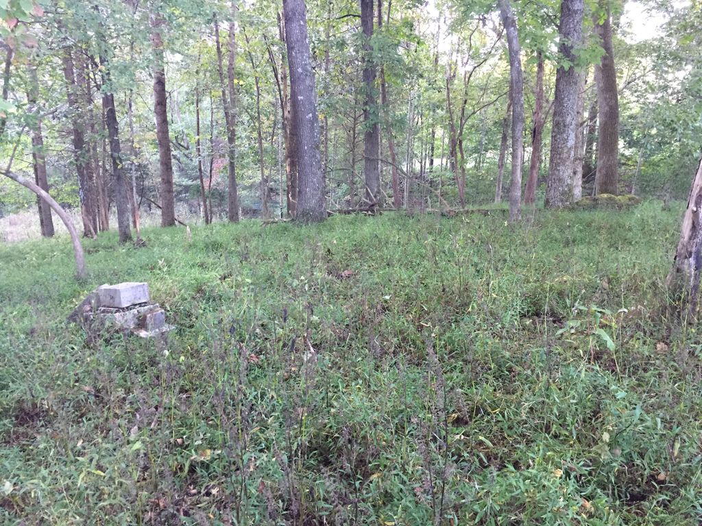
| Description | : | Located on the farm previously owned by A. P. Childress on State Highway 249. Listed in "Barren County, Kentucky Cemetery Records" published 1992. NO GRAVESTONES. States "Wife of George Jones who was a Hammett is buried here and several of the Jones family." |
frequently asked questions (FAQ):
-
Where is Hammett Cemetery?
Hammett Cemetery is located at Dry Fork, Barren County ,Kentucky ,USA.
-
Hammett Cemetery cemetery's updated grave count on graveviews.com?
0 memorials
-
Where are the coordinates of the Hammett Cemetery?
Latitude: 36.7887556
Longitude: -85.9135907
Nearby Cemetories:
1. Thomas Cemetery #2
Dry Fork, Barren County, USA
Coordinate: 36.7851000, -85.9153000
2. Smith Cemetery #1
Dry Fork, Barren County, USA
Coordinate: 36.7992000, -85.9139000
3. Milburn Cemetery
Barren County, USA
Coordinate: 36.7699890, -85.9011180
4. Smith Cemetery #7
Etoile, Barren County, USA
Coordinate: 36.8034130, -85.8877820
5. Ellis Cemetery #3
Austin, Barren County, USA
Coordinate: 36.8100860, -85.9334300
6. Peden Cemetery #4
Etoile, Barren County, USA
Coordinate: 36.8145670, -85.8952980
7. Flowers Slaves Cemetery
Lamb, Monroe County, USA
Coordinate: 36.7678588, -85.8833338
8. Johnson-Flowers Cemetery
Lamb, Monroe County, USA
Coordinate: 36.7591110, -85.8919440
9. Thomerson Family Cemetery
Cooktown, Barren County, USA
Coordinate: 36.8146210, -85.9439316
10. Burgess Cemetery
Barren County, USA
Coordinate: 36.8218994, -85.8968964
11. Tracy Family Cemetery
Dry Fork, Barren County, USA
Coordinate: 36.8289400, -85.9169900
12. Eaton Cemetery
Barren County, USA
Coordinate: 36.7624000, -85.9591000
13. Caney Fork Church Cemetery
Etoile, Barren County, USA
Coordinate: 36.8354988, -85.8992462
14. Young Cemetery #2
Etoile, Barren County, USA
Coordinate: 36.8377991, -85.9094009
15. Martin Family Cemetery
Mount Hermon, Monroe County, USA
Coordinate: 36.7887000, -85.8515500
16. Old Pikesville Cemetery #2
Flippin, Monroe County, USA
Coordinate: 36.7398375, -85.8935605
17. Johnson-Cross Cemetery
Flippin, Monroe County, USA
Coordinate: 36.7382760, -85.8873710
18. Old Pikesville Cemetery
Flippin, Monroe County, USA
Coordinate: 36.7334200, -85.8891800
19. Arterburn Farm Cemetery
Flippin, Monroe County, USA
Coordinate: 36.7356200, -85.8785600
20. Ward-Lewis Cemetery
Flippin, Monroe County, USA
Coordinate: 36.7309140, -85.8848150
21. George Britt Cemetery
Monroe County, USA
Coordinate: 36.7631600, -85.9887900
22. Lyon Cemetery
Barren County, USA
Coordinate: 36.8317132, -85.8516380
23. Atkinson Cemetery
Barren County, USA
Coordinate: 36.8382988, -85.8597031
24. Isenberg Farm Cemetery
Flippin, Monroe County, USA
Coordinate: 36.7309600, -85.8734600