
| Memorials | : | 14 |
| Location | : | Knox County, USA |
| Coordinate | : | 40.2973300, -92.0297200 |
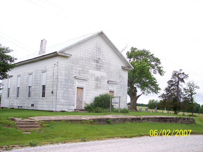
| Description | : | From Gorin, take A toward Rutledge, cross RR, cross Rainbow Bridge which is an unmarked creek bridge Location: The cemetery is just east of County Road 79, 624 ft N of the junction with County Road 90. (About 4.4 mi S of South Gorin, MO) History: The Harmony Grove Cemetery is associated with the Harmony Grove Baptist Church. The church was organized in 1837 as the Sand Hill Baptist Church in Sand Hill, Sand Hill Twp, MO. In 1868 the church moved to Colony Twp (previously part of Benton Twp) and changed it's name to Harmony Grove Baptist... Read More |
frequently asked questions (FAQ):
-
Where is Harmony Grove Cemetery?
Harmony Grove Cemetery is located at Knox County ,Missouri ,USA.
-
Harmony Grove Cemetery cemetery's updated grave count on graveviews.com?
11 memorials
-
Where are the coordinates of the Harmony Grove Cemetery?
Latitude: 40.2973300
Longitude: -92.0297200

Nearby Cemetories:
1. Ewing-Lasswell Cemetery
Scotland County, USA
Coordinate: 40.3022003, -92.0346985
2. Carder Cemetery
Colony, Knox County, USA
Coordinate: 40.2692850, -92.0398290
3. Hicks Farm Cemetery
Rutledge, Scotland County, USA
Coordinate: 40.3131300, -92.0617600
4. Standifird Cemetery
Colony, Knox County, USA
Coordinate: 40.2947006, -91.9839020
5. Pauline Cemetery
Rutledge, Scotland County, USA
Coordinate: 40.3093987, -92.0892029
6. Colony Cemetery
Colony, Knox County, USA
Coordinate: 40.2550300, -91.9958200
7. Millport Cemetery
Millport, Knox County, USA
Coordinate: 40.2670000, -92.0930000
8. Millport Mennonite Cemetery
Millport, Knox County, USA
Coordinate: 40.2673690, -92.0953400
9. Dancing Rabbit
Rutledge, Scotland County, USA
Coordinate: 40.3324900, -92.0962100
10. Suter Cemetery
Gorin, Scotland County, USA
Coordinate: 40.3292007, -91.9522018
11. Indian Creek Cemetery
Sand Hill Township, Scotland County, USA
Coordinate: 40.3539009, -92.0781021
12. Pleasant Grove Cemetery
Gorin, Scotland County, USA
Coordinate: 40.3669014, -92.0250015
13. Strange Cemetery
Knox County, USA
Coordinate: 40.2286300, -92.0060300
14. Mauck Cemetery
Knox County, USA
Coordinate: 40.2386700, -92.0832900
15. Sand Hill Cemetery
Sand Hill, Scotland County, USA
Coordinate: 40.3130989, -92.1250000
16. Bailey Cemetery
Clark County, USA
Coordinate: 40.2580986, -91.9458008
17. Bear Creek Cemetery
Wyaconda, Clark County, USA
Coordinate: 40.3120600, -91.9317100
18. Matlick Cemetery
Sand Hill, Scotland County, USA
Coordinate: 40.3307690, -92.1308330
19. Cunningham Cemetery
Benton Township, Knox County, USA
Coordinate: 40.2888985, -92.1393967
20. Hicks-Shacklett Cemetery
Gorin, Scotland County, USA
Coordinate: 40.3880860, -92.0127620
21. Pleasant Ridge Cemetery
Myrtle Township, Knox County, USA
Coordinate: 40.2043991, -92.0513992
22. South Bethel Cemetery
Sand Hill, Scotland County, USA
Coordinate: 40.3468710, -92.1361430
23. Spilman Cemetery
Scotland County, USA
Coordinate: 40.3311930, -92.1501190
24. Fairmont Cemetery
Clark County, USA
Coordinate: 40.3317900, -91.9071800