
| Memorials | : | 0 |
| Location | : | West Point, Clay County, USA |
| Coordinate | : | 33.5724200, -88.6028500 |
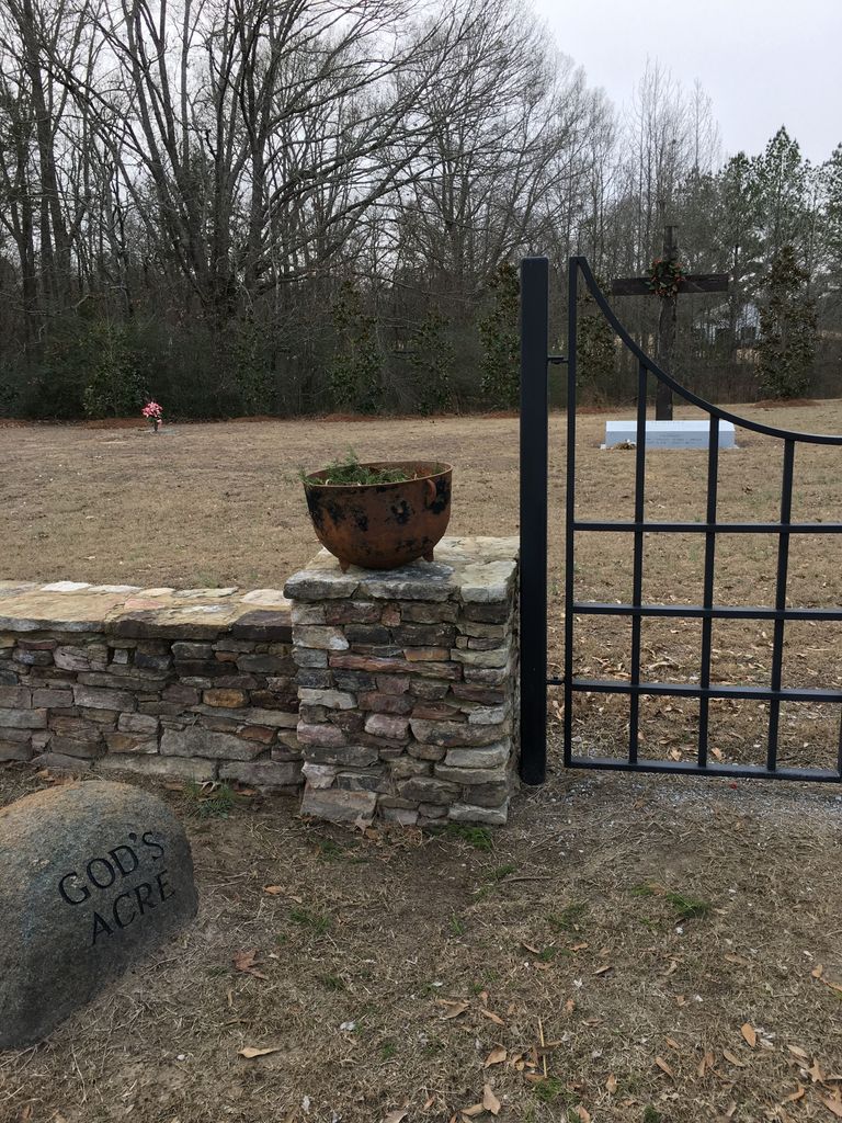
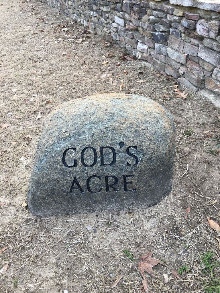
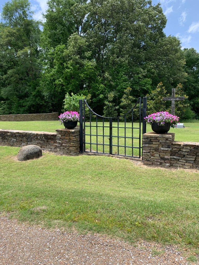
| Description | : | This is a private cemetery. |
frequently asked questions (FAQ):
-
Where is Harrell Family Cemetery at God's Acre?
Harrell Family Cemetery at God's Acre is located at West Point, Clay County ,Mississippi ,USA.
-
Harrell Family Cemetery at God's Acre cemetery's updated grave count on graveviews.com?
0 memorials
-
Where are the coordinates of the Harrell Family Cemetery at God's Acre?
Latitude: 33.5724200
Longitude: -88.6028500
Nearby Cemetories:
1. Pool's Memorial Gardens Cemetery
West Point, Clay County, USA
Coordinate: 33.5785680, -88.6083400
2. Strong Hill Cemetery
West Point, Clay County, USA
Coordinate: 33.6113930, -88.5981930
3. Greenwood Cemetery
West Point, Clay County, USA
Coordinate: 33.5946999, -88.6438980
4. Jones Chapel United Methodist Church Cemetery
Clay County, USA
Coordinate: 33.5250180, -88.6141700
5. Tibbee Community Cemetery
Tibbee, Clay County, USA
Coordinate: 33.5228004, -88.6141968
6. Episcopal Church of the Incarnation
West Point, Clay County, USA
Coordinate: 33.6052250, -88.6506360
7. Westbrook Cemetery
West Point, Clay County, USA
Coordinate: 33.6213989, -88.6572037
8. Mayhew Mission Cemetery
Oktibbeha County, USA
Coordinate: 33.5461006, -88.6844025
9. Lee Hill Cemetery
West Point, Clay County, USA
Coordinate: 33.5682983, -88.5113983
10. Mount Pisgah Waverly Missionary Baptist Church Cem
West Point, Clay County, USA
Coordinate: 33.5791260, -88.5107550
11. Union Star Missionary Baptist Church Cemetery
West Point, Clay County, USA
Coordinate: 33.5814020, -88.5100490
12. Shady Grove Waverly MB Church Cemetery
Clay County, USA
Coordinate: 33.6015770, -88.5157710
13. New Hope Missionary Baptist Church Cemetery
West Point, Clay County, USA
Coordinate: 33.6228190, -88.6765390
14. Hampton Cemetery
Clay County, USA
Coordinate: 33.6519012, -88.6113968
15. Towncreek M.B. Church Cemetery
Vinton, Clay County, USA
Coordinate: 33.6366900, -88.5452300
16. Pitchlynn Cemetery
Clay County, USA
Coordinate: 33.5667000, -88.5066986
17. Davis Family Cemetery
West Point, Clay County, USA
Coordinate: 33.6021810, -88.6940650
18. Gospel Temple Cemetery
West Point, Clay County, USA
Coordinate: 33.6221085, -88.6837006
19. Strong Cemetery
Clay County, USA
Coordinate: 33.6556015, -88.6196976
20. George Hampton Young Family Cemetery
Clay County, USA
Coordinate: 33.5713997, -88.4978027
21. Moore Family Cemetery
Osborn, Oktibbeha County, USA
Coordinate: 33.5508650, -88.7070800
22. Mount Pelier Missionary Baptist Church Cemetery
Mayhew, Lowndes County, USA
Coordinate: 33.4848340, -88.6290710
23. London Chapel Church Cemetery
West Point, Clay County, USA
Coordinate: 33.6360030, -88.5223900
24. West Point Memorial Gardens Cemetery
West Point, Clay County, USA
Coordinate: 33.6500015, -88.6667023