
| Memorials | : | 4 |
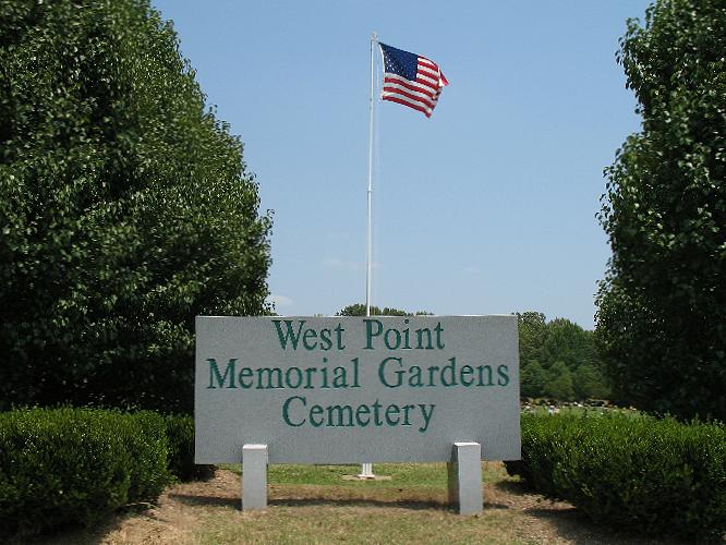
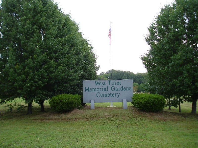
| Location | : | West Point, Clay County, USA |
| Coordinate | : | 33.6500015, -88.6667023 |
frequently asked questions (FAQ):
-
Where is West Point Memorial Gardens Cemetery?
West Point Memorial Gardens Cemetery is located at West Point, Clay County ,Mississippi ,USA.
-
West Point Memorial Gardens Cemetery cemetery's updated grave count on graveviews.com?
4 memorials
-
Where are the coordinates of the West Point Memorial Gardens Cemetery?
Latitude: 33.6500015
Longitude: -88.6667023

Nearby Cemetories:
1. New Hope Missionary Baptist Church Cemetery
West Point, Clay County, USA
Coordinate: 33.6228190, -88.6765390
2. Westbrook Cemetery
West Point, Clay County, USA
Coordinate: 33.6213989, -88.6572037
3. Gospel Temple Cemetery
West Point, Clay County, USA
Coordinate: 33.6221085, -88.6837006
4. Greenwood MB Church Cemetery
Monroe County, USA
Coordinate: 33.6837730, -88.6667380
5. Strong Cemetery
Clay County, USA
Coordinate: 33.6556015, -88.6196976
6. Hampton Cemetery
Clay County, USA
Coordinate: 33.6519012, -88.6113968
7. Episcopal Church of the Incarnation
West Point, Clay County, USA
Coordinate: 33.6052250, -88.6506360
8. Mount Zion Missionary Baptist Church Cemetery
Pheba, Clay County, USA
Coordinate: 33.6663910, -88.6135510
9. Mount Zion White Cemetery
Clay County, USA
Coordinate: 33.6664950, -88.6135290
10. Paine Chapel Cemetery
Prairie, Monroe County, USA
Coordinate: 33.6875000, -88.6316986
11. Sweet Pilgrim Church
Monroe County, USA
Coordinate: 33.6875000, -88.6232986
12. Davis Family Cemetery
West Point, Clay County, USA
Coordinate: 33.6021810, -88.6940650
13. Strong Cemetery
Strong, Monroe County, USA
Coordinate: 33.6817017, -88.6117020
14. Greenwood Cemetery
West Point, Clay County, USA
Coordinate: 33.5946999, -88.6438980
15. Sykes Cemetery
Aberdeen, Monroe County, USA
Coordinate: 33.7027100, -88.6980020
16. Walker-Jameson Cemetery
Prairie, Monroe County, USA
Coordinate: 33.7049470, -88.6964740
17. Peterson Cemetery
Siloam, Clay County, USA
Coordinate: 33.6323960, -88.7414200
18. Strong Hill Cemetery
West Point, Clay County, USA
Coordinate: 33.6113930, -88.5981930
19. McPherson Cemetery
Clay County, USA
Coordinate: 33.6219020, -88.7457600
20. Siloam Cemetery
Siloam, Clay County, USA
Coordinate: 33.6293983, -88.7491989
21. Shaffer Cemetery
Siloam, Clay County, USA
Coordinate: 33.6290120, -88.7584200
22. Third Union Missionary Baptist Church Cemetery
Prairie, Monroe County, USA
Coordinate: 33.7289009, -88.7016983
23. Pool's Memorial Gardens Cemetery
West Point, Clay County, USA
Coordinate: 33.5785680, -88.6083400
24. Concord Cemetery
Clay County, USA
Coordinate: 33.6727982, -88.5622025