
| Memorials | : | 11 |
| Location | : | St. Clair County, USA |
| Coordinate | : | 38.1794014, -93.5552979 |
frequently asked questions (FAQ):
-
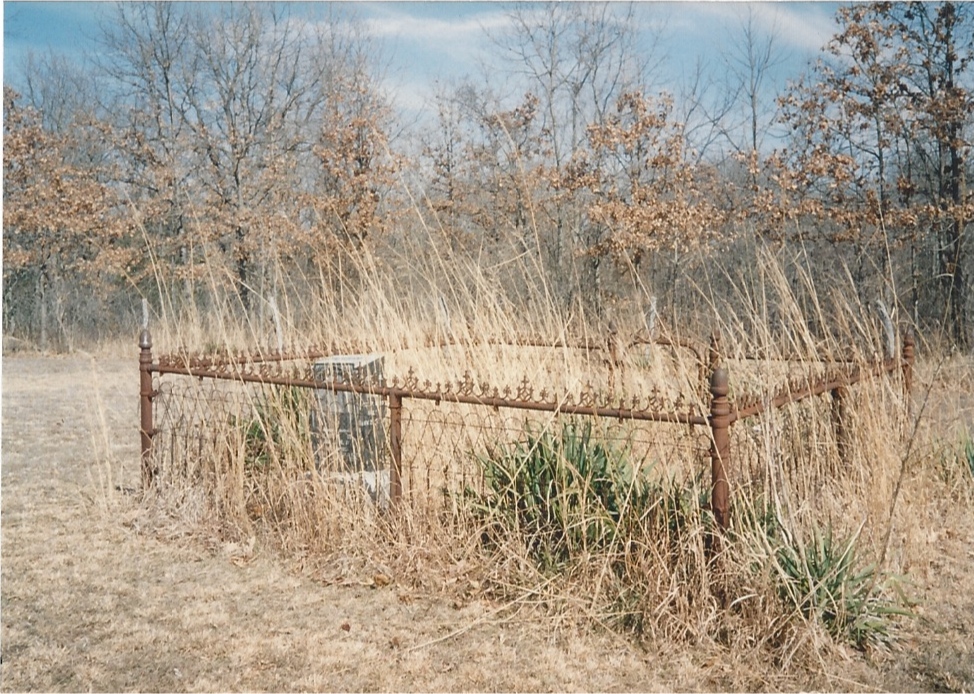
Where is Harris Bend Cemetery?
Harris Bend Cemetery is located at St. Clair County ,Missouri ,USA.
-
Harris Bend Cemetery cemetery's updated grave count on graveviews.com?
11 memorials
-
Where are the coordinates of the Harris Bend Cemetery?
Latitude: 38.1794014
Longitude: -93.5552979

Nearby Cemetories:
1. Eversole Cemetery
Henry County, USA
Coordinate: 38.1791992, -93.5518723
2. Gilbert Cemetery
St. Clair County, USA
Coordinate: 38.2033005, -93.5563965
3. Talley Bend Cemetery
St. Clair County, USA
Coordinate: 38.1893997, -93.5892029
4. Peaceful Home Cemetery
Finey, Henry County, USA
Coordinate: 38.2064018, -93.5894012
5. Akin Cemetery
Warsaw, Benton County, USA
Coordinate: 38.1530991, -93.5000000
6. Wisdom Cemetery (Defunct)
Benton County, USA
Coordinate: 38.1775017, -93.4796982
7. Suiter Cemetery
Fristoe, Benton County, USA
Coordinate: 38.1239900, -93.5010800
8. Old Liberty Cemetery
Harper, St. Clair County, USA
Coordinate: 38.1141900, -93.5168700
9. Duke Farm Graves
Wisdom, Benton County, USA
Coordinate: 38.1341520, -93.4771840
10. Mount Zion Cemetery
Mount Zion, Henry County, USA
Coordinate: 38.2178001, -93.6393967
11. Iconium Cemetery
Iconium, St. Clair County, USA
Coordinate: 38.1032982, -93.5436020
12. Hogles Creek (defunct)
Warsaw, Benton County, USA
Coordinate: 38.1805200, -93.4554000
13. Freedom Missionary Baptist Church Cemetery
Warsaw, Benton County, USA
Coordinate: 38.1123200, -93.4664600
14. Landaker Cemetery
Lowry City, St. Clair County, USA
Coordinate: 38.1380005, -93.6682281
15. National Cemetery
Warsaw, Benton County, USA
Coordinate: 38.2291100, -93.4472200
16. Shiloh Cemetery
Warsaw, Benton County, USA
Coordinate: 38.1021270, -93.4717660
17. Cunningham Farm Cemetery
Bentonville, Benton County, USA
Coordinate: 38.1425200, -93.4293700
18. Cooper Cemetery (Defunct)
Benton County, USA
Coordinate: 38.2661018, -93.4756012
19. Hopewell Baptist Church Cemetery
Bentonville, Benton County, USA
Coordinate: 38.0822792, -93.4863586
20. Peal Bend Cemetery (Defunct)
Benton County, USA
Coordinate: 38.1836014, -93.4124985
21. Park Grove Cemetery
Lowry City, St. Clair County, USA
Coordinate: 38.1755981, -93.7005997
22. Wisner Farm Cemetery #01
Osceola, St. Clair County, USA
Coordinate: 38.0745140, -93.6182790
23. Parks Chapel Cemetery
Leesville, Henry County, USA
Coordinate: 38.2966805, -93.5707474
24. Sheldon-Logan Cemetery
Osceola, St. Clair County, USA
Coordinate: 38.0624530, -93.5904260