| Memorials | : | 0 |
| Location | : | Hupperdange, Canton de Clervaux, Luxembourg |
| Coordinate | : | 50.0942900, 6.0593500 |
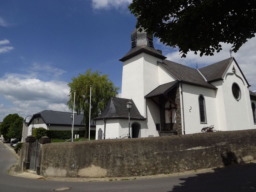
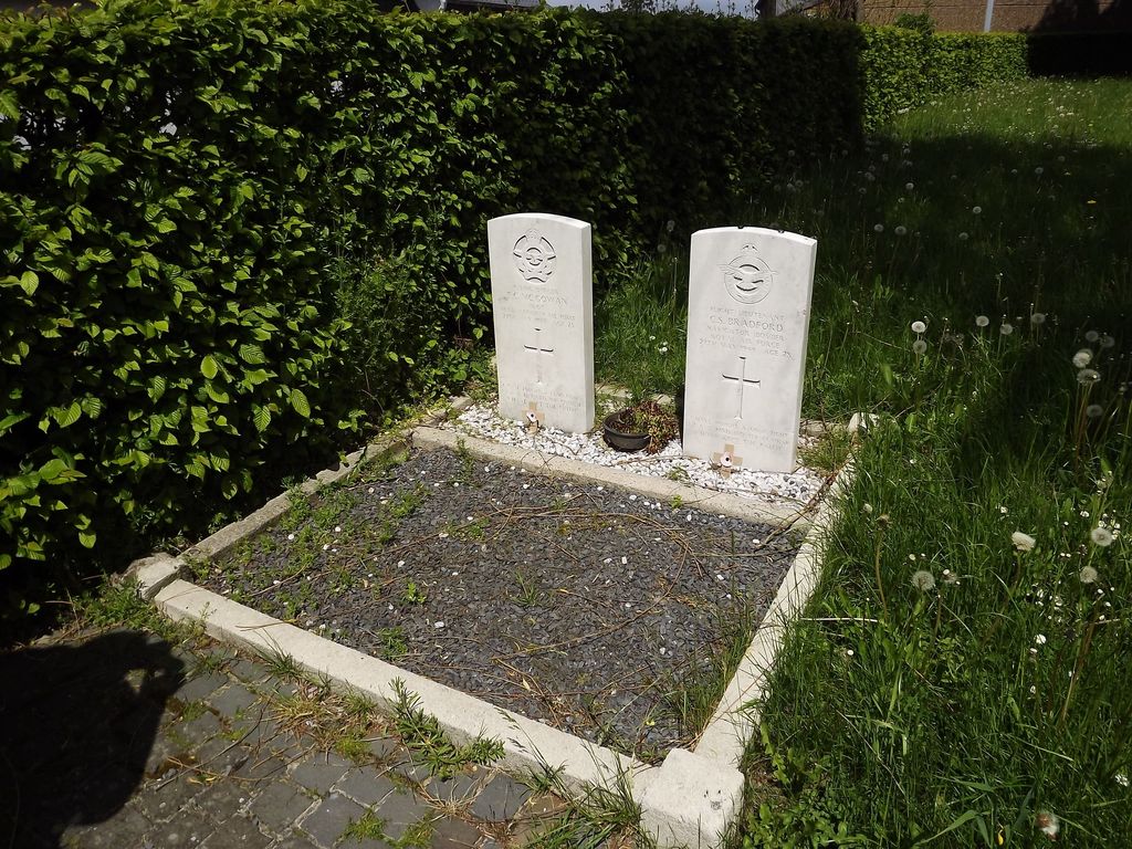
| Description | : | Heinerscheid is 35 kilometres north-north-west of Diekirch, astride the main road to St.Vith (Belgium). Hupperdange, a small agricultural village, is 2 kilometres west of Heinerscheid, by which it is administered. The churchyard partly surrounds the church, which is in the centre of the village. The Commonwealth war graves are in the north-west part of the churchyard, and are the only two left. GPS Co-ordinates: Longitude 06°03'33", Latitude 50°05'39" Historical Information: Heinerscheid Churchyard contains the graves of two airmen of the Second World War. |
frequently asked questions (FAQ):
-
Where is Heinerscheid Churchyard?
Heinerscheid Churchyard is located at Hupperdange, Canton de Clervaux ,Diekirch ,Luxembourg.
-
Heinerscheid Churchyard cemetery's updated grave count on graveviews.com?
0 memorials
-
Where are the coordinates of the Heinerscheid Churchyard?
Latitude: 50.0942900
Longitude: 6.0593500
Nearby Cemetories:
1. Maulusmuhle Isolated Graves
Canton de Clervaux, Luxembourg
Coordinate: 50.0925000, 6.0208333
2. Abbaye Saint Maurice
Clervaux, Canton de Clervaux, Luxembourg
Coordinate: 50.0549400, 6.0305100
3. Bas Bellain Churchyard
Basbellain, Canton de Clervaux, Luxembourg
Coordinate: 50.1451600, 5.9823300
4. Kriegsgräberstätte Daleiden
Daleiden, Landkreis Bitburg-Prüm, Germany
Coordinate: 50.0681520, 6.1870060
5. St. Peter Friedhof
Scheitenkorb, Landkreis Bitburg-Prüm, Germany
Coordinate: 50.0069152, 6.2099562
6. Sankt Jacobus Friedhof
Rodershausen, Landkreis Bitburg-Prüm, Germany
Coordinate: 49.9907782, 6.1947130
7. Friedhof Merscheid les Putscheid
Hoscheid, Canton de Clervaux, Luxembourg
Coordinate: 49.9543997, 6.1077700
8. Friedhof St. Bernhard
Berscheid, Landkreis Bitburg-Prüm, Germany
Coordinate: 49.9821441, 6.2318521
9. Commanster
Gouvy, Arrondissement de Bastogne, Belgium
Coordinate: 50.2485003, 6.0046066
10. Bovigny Churchyard
Gouvy, Arrondissement de Bastogne, Belgium
Coordinate: 50.2249300, 5.9178300
11. Waldfriedhof
Neuerburg, Landkreis Bitburg-Prüm, Germany
Coordinate: 50.0073078, 6.2817789
12. Dahl Cemetery
Dahl, Canton de Wiltz, Luxembourg
Coordinate: 49.9353190, 5.9726590
13. Ehrenfriedhof
Neuerburg, Landkreis Bitburg-Prüm, Germany
Coordinate: 50.0134734, 6.2918681
14. Friedhof Neuerburg
Neuerburg, Landkreis Bitburg-Prüm, Germany
Coordinate: 50.0050472, 6.3002857
15. Houffalize Communal Cemetery
Houffalize, Arrondissement de Bastogne, Belgium
Coordinate: 50.1376100, 5.7884100
16. Église Sainte-Catherine
Houffalize, Arrondissement de Bastogne, Belgium
Coordinate: 50.1333330, 5.7833330
17. Bourscheid
Bourscheid, Canton de Diekirch, Luxembourg
Coordinate: 49.9101140, 6.0651400
18. Brandenbourg Catholic Church Cemetery
Brandenbourg, Canton de Vianden, Luxembourg
Coordinate: 49.9116813, 6.1363176
19. Salmchateau Cemetery
Vielsalm, Arrondissement de Bastogne, Belgium
Coordinate: 50.2662300, 5.9085100
20. Friedhof Pronsfeld
Pronsfeld, Landkreis Bitburg-Prüm, Germany
Coordinate: 50.1602949, 6.3520215
21. Friedhof Niedergeckler
Niedergeckler, Landkreis Bitburg-Prüm, Germany
Coordinate: 49.9702241, 6.3057402
22. Friedhof Bettel
Bettel, Canton de Vianden, Luxembourg
Coordinate: 49.9192925, 6.2235181
23. Vielsalm Communal Cemetery
Vielsalm, Arrondissement de Bastogne, Belgium
Coordinate: 50.2835900, 5.9199300
24. Recogne German Military Cemetery
Bastogne, Arrondissement de Bastogne, Belgium
Coordinate: 50.0493900, 5.7407200


