
| Memorials | : | 0 |
| Location | : | Stoutsville, Monroe County, USA |
| Coordinate | : | 39.5624780, -91.8678030 |
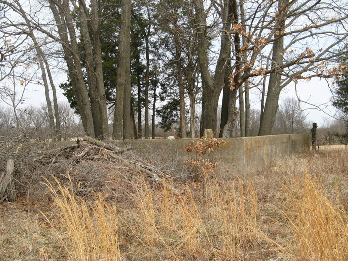
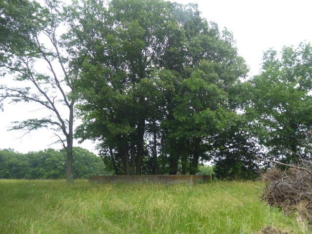
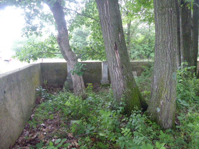
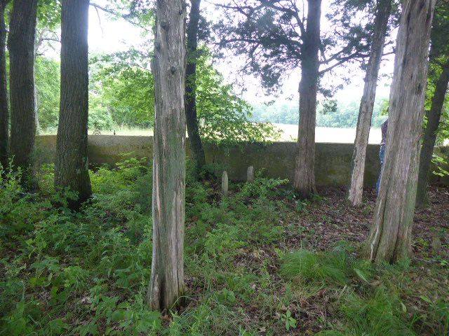
| Description | : | The Henderson-Tipton Family Cemetery is located on Monroe County Road Number 332 just after the 90 degree turn to the north. The cemetery is about 1/4 miles east of 332 half way between the two 90 degree turns. 332 is of Route V just north of highway 24 north of Stoutsville. |
frequently asked questions (FAQ):
-
Where is Henderson-Tipton Family Cemetery?
Henderson-Tipton Family Cemetery is located at Stoutsville, Monroe County ,Missouri ,USA.
-
Henderson-Tipton Family Cemetery cemetery's updated grave count on graveviews.com?
0 memorials
-
Where are the coordinates of the Henderson-Tipton Family Cemetery?
Latitude: 39.5624780
Longitude: -91.8678030
Nearby Cemetories:
1. Dooley Family Cemetery
Stoutsville, Monroe County, USA
Coordinate: 39.5573250, -91.8665630
2. Saint Andrew Cemetery
Stoutsville, Monroe County, USA
Coordinate: 39.5558014, -91.8593979
3. Stoutsville Cemetery
Stoutsville, Monroe County, USA
Coordinate: 39.5468400, -91.8515600
4. Crutcher Cemetery
Monroe County, USA
Coordinate: 39.5842018, -91.8831024
5. Jeter Cemetery
Monroe County, USA
Coordinate: 39.6175003, -91.8563995
6. Deer Creek Cemetery
Monroe County, USA
Coordinate: 39.6136017, -91.8985977
7. Mount Joy Cemetery
Monroe County, USA
Coordinate: 39.6130981, -91.9032974
8. Lasley Cemetery
Monroe County, USA
Coordinate: 39.5971985, -91.9325027
9. Gillispie Cemetery
North Fork, Monroe County, USA
Coordinate: 39.5973360, -91.9326950
10. Saint Peter Cemetery
North Fork, Monroe County, USA
Coordinate: 39.6131300, -91.9197400
11. Harris Family Cemetery
Monroe County, USA
Coordinate: 39.5028330, -91.9037990
12. Worland-Jarboe Cemetery
Monroe County, USA
Coordinate: 39.6100197, -91.9299011
13. Ellis Cemetery
North Fork, Monroe County, USA
Coordinate: 39.6159910, -91.9270720
14. Hawkins Cemetery
Monroe County, USA
Coordinate: 39.4942017, -91.8452988
15. Scobee Cemetery
Monroe County, USA
Coordinate: 39.4916992, -91.8891983
16. Saint Stephens Catholic Cemetery
Indian Creek, Monroe County, USA
Coordinate: 39.5925800, -91.7762400
17. Florida Cemetery
Florida, Monroe County, USA
Coordinate: 39.4947850, -91.7933250
18. Saint Johns Cemetery
Hunnewell, Shelby County, USA
Coordinate: 39.6617012, -91.8778000
19. Collins Cemetery
Monroe County, USA
Coordinate: 39.6164017, -91.9766998
20. Crigler Cemetery
Florida, Monroe County, USA
Coordinate: 39.5121994, -91.7497025
21. Salem Baptist Church Cemetery
Monroe County, USA
Coordinate: 39.5358800, -92.0031900
22. Godfrey Cemetery
Hunnewell, Shelby County, USA
Coordinate: 39.6699982, -91.8788986
23. Victor Cemetery
Monroe County, USA
Coordinate: 39.4547500, -91.8340800
24. IOOF Cemetery
Hunnewell, Shelby County, USA
Coordinate: 39.6736800, -91.8523800