
| Memorials | : | 0 |
| Location | : | Hetton-le-Hole, Metropolitan Borough of Sunderland, England |
| Coordinate | : | 54.8256830, -1.4551984 |
| Description | : | Opened 30 May 1891, the cemetery and burial records are maintained by City of Sunderland Council This cemetery contains Commonwealth War Graves, as well as hundreds of other graves. |
frequently asked questions (FAQ):
-
Where is Hetton Cemetery?
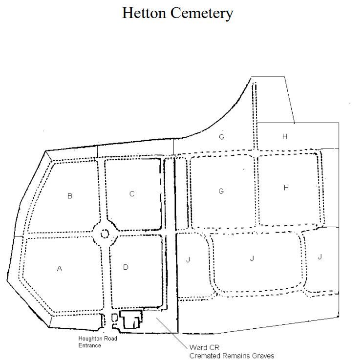
Hetton Cemetery is located at Houghton Road Hetton-le-Hole, Metropolitan Borough of Sunderland ,Tyne and Wear , DH5 9PJEngland.
-
Hetton Cemetery cemetery's updated grave count on graveviews.com?
0 memorials
-
Where are the coordinates of the Hetton Cemetery?
Latitude: 54.8256830
Longitude: -1.4551984
Nearby Cemetories:
1. St. Nicholas Churchyard
Hetton-le-Hole, Metropolitan Borough of Sunderland, England
Coordinate: 54.8201690, -1.4518480
2. Houghton Cemetery
Houghton-le-Spring, Metropolitan Borough of Sunderland, England
Coordinate: 54.8347588, -1.4718029
3. St Cuthbert Churchyard
East Rainton, Metropolitan Borough of Sunderland, England
Coordinate: 54.8236030, -1.4790640
4. St. Michael's RC Cemetery
Houghton-le-Spring, Metropolitan Borough of Sunderland, England
Coordinate: 54.8364300, -1.4714100
5. St Michael & All Angels Churchyard
Houghton-le-Spring, Metropolitan Borough of Sunderland, England
Coordinate: 54.8421730, -1.4688210
6. Lyons St Michael & All Angels Churchyard
Houghton-le-Spring, Metropolitan Borough of Sunderland, England
Coordinate: 54.8423530, -1.4691540
7. Easington Lane Cemetery
Easington Lane, Metropolitan Borough of Sunderland, England
Coordinate: 54.8103877, -1.4295255
8. Houghton Hillside Cemetery
Houghton-le-Spring, Metropolitan Borough of Sunderland, England
Coordinate: 54.8474737, -1.4641516
9. St. Matthews Churchyard
Newbottle, Metropolitan Borough of Sunderland, England
Coordinate: 54.8575650, -1.4719100
10. Holy Trinity Churchyard
South Hetton, Durham Unitary Authority, England
Coordinate: 54.8006610, -1.4135640
11. Murton Cemetery
Murton, Durham Unitary Authority, England
Coordinate: 54.8153330, -1.3916320
12. Holy Trinity Churchyard
Murton, Durham Unitary Authority, England
Coordinate: 54.8159880, -1.3899430
13. St Joseph's Roman Catholic Churchyard
Murton, Durham Unitary Authority, England
Coordinate: 54.8155960, -1.3888230
14. St Aidan Churchyard
New Herrington, Metropolitan Borough of Sunderland, England
Coordinate: 54.8693700, -1.4680430
15. St Laurence Churchyard
Pittington, Durham Unitary Authority, England
Coordinate: 54.7859220, -1.4907670
16. St Cuthbert's Churchyard
New Herrington, Metropolitan Borough of Sunderland, England
Coordinate: 54.8708720, -1.4579010
17. St. Barnabas Churchyard
Bournmoor, Durham Unitary Authority, England
Coordinate: 54.8571260, -1.5195110
18. Finchale Priory
Great Lumley, Durham Unitary Authority, England
Coordinate: 54.8181120, -1.5403970
19. St Andrew's Church
Dalton-le-Dale, Durham Unitary Authority, England
Coordinate: 54.8255000, -1.3665000
20. Christchurch Churchyard
Great Lumley, Durham Unitary Authority, England
Coordinate: 54.8370890, -1.5417950
21. Great Lumley Cemetery
Great Lumley, Durham Unitary Authority, England
Coordinate: 54.8362470, -1.5421175
22. St Matthew's Churchyard
Silksworth, Metropolitan Borough of Sunderland, England
Coordinate: 54.8707006, -1.4090075
23. Belmont Cemetery
Belmont, Durham Unitary Authority, England
Coordinate: 54.7869300, -1.5244800
24. Christchurch Graveyard
Seaham, Durham Unitary Authority, England
Coordinate: 54.8414660, -1.3614550