
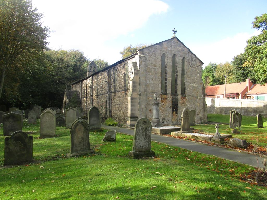
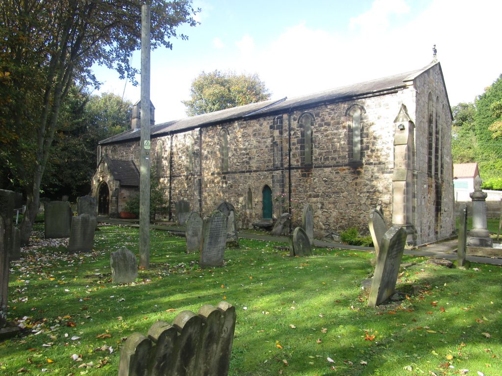
| Memorials | : | 0 |
| Location | : | Dalton-le-Dale, Durham Unitary Authority, England |
| Coordinate | : | 54.8255000, -1.3665000 |
frequently asked questions (FAQ):
-
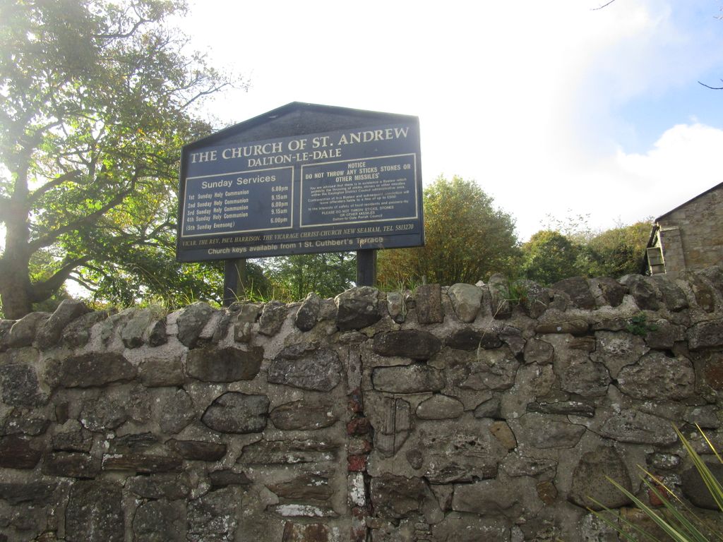
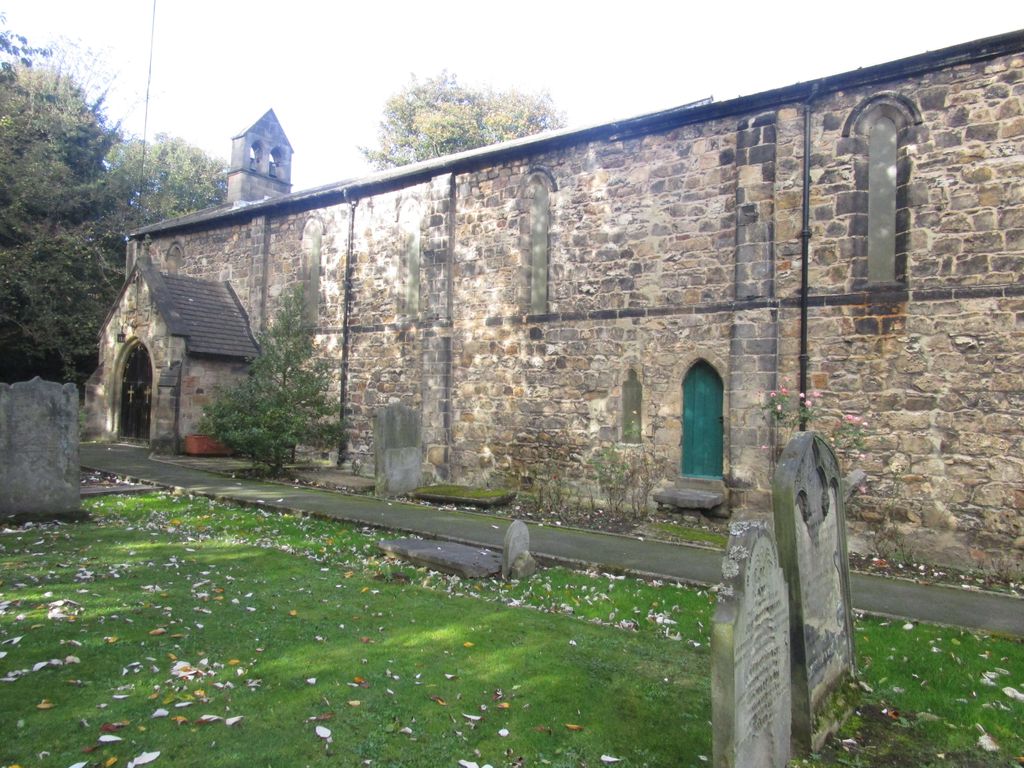
Where is St Andrew's Church?
St Andrew's Church is located at B1285 Dalton-le-Dale, Durham Unitary Authority ,County Durham , SR7 8QAEngland.
-
St Andrew's Church cemetery's updated grave count on graveviews.com?
0 memorials
-
Where are the coordinates of the St Andrew's Church?
Latitude: 54.8255000
Longitude: -1.3665000
Nearby Cemetories:
1. Christchurch Graveyard
Seaham, Durham Unitary Authority, England
Coordinate: 54.8414660, -1.3614550
2. St Joseph's Roman Catholic Churchyard
Murton, Durham Unitary Authority, England
Coordinate: 54.8155960, -1.3888230
3. Holy Trinity Churchyard
Murton, Durham Unitary Authority, England
Coordinate: 54.8159880, -1.3899430
4. Princess Road Cemetery
Seaham, Durham Unitary Authority, England
Coordinate: 54.8334800, -1.3394080
5. Murton Cemetery
Murton, Durham Unitary Authority, England
Coordinate: 54.8153330, -1.3916320
6. St. John the Evangelist Churchyard
Seaham, Durham Unitary Authority, England
Coordinate: 54.8362792, -1.3363791
7. St Michael and All Angels Churchyard
Hawthorn, Durham Unitary Authority, England
Coordinate: 54.8034950, -1.3503550
8. St Mary's Churchyard
Seaham, Durham Unitary Authority, England
Coordinate: 54.8475590, -1.3435800
9. Seaham Cemetery
Seaham, Durham Unitary Authority, England
Coordinate: 54.8493205, -1.3414431
10. Holy Trinity Churchyard
South Hetton, Durham Unitary Authority, England
Coordinate: 54.8006610, -1.4135640
11. Easington Lane Cemetery
Easington Lane, Metropolitan Borough of Sunderland, England
Coordinate: 54.8103877, -1.4295255
12. St Mary's Churchyard
Easington Village, Durham Unitary Authority, England
Coordinate: 54.7842000, -1.3573000
13. Easington Colliery Cemetery
Easington Colliery, Durham Unitary Authority, England
Coordinate: 54.7892830, -1.3300550
14. Ryhope Cemetery
Ryhope, Metropolitan Borough of Sunderland, England
Coordinate: 54.8681320, -1.3708760
15. Easington Durham Lane Cemetery
Easington Village, Durham Unitary Authority, England
Coordinate: 54.7823800, -1.3601500
16. St. Nicholas Churchyard
Hetton-le-Hole, Metropolitan Borough of Sunderland, England
Coordinate: 54.8201690, -1.4518480
17. Hetton Cemetery
Hetton-le-Hole, Metropolitan Borough of Sunderland, England
Coordinate: 54.8256830, -1.4551984
18. St Leonard RC
Silksworth, Metropolitan Borough of Sunderland, England
Coordinate: 54.8736400, -1.3971900
19. St Matthew's Churchyard
Silksworth, Metropolitan Borough of Sunderland, England
Coordinate: 54.8707006, -1.4090075
20. Horden Cemetery
Horden, Durham Unitary Authority, England
Coordinate: 54.7735900, -1.3374800
21. Sunderland Cemetery
Sunderland, Metropolitan Borough of Sunderland, England
Coordinate: 54.8833700, -1.3660100
22. Houghton Hillside Cemetery
Houghton-le-Spring, Metropolitan Borough of Sunderland, England
Coordinate: 54.8474737, -1.4641516
23. St Michael & All Angels Churchyard
Houghton-le-Spring, Metropolitan Borough of Sunderland, England
Coordinate: 54.8421730, -1.4688210
24. Houghton Cemetery
Houghton-le-Spring, Metropolitan Borough of Sunderland, England
Coordinate: 54.8347588, -1.4718029