
| Memorials | : | 244 |
| Location | : | Hicksville, Sacramento County, USA |
| Coordinate | : | 38.3257942, -121.3190765 |
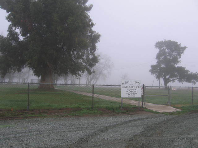
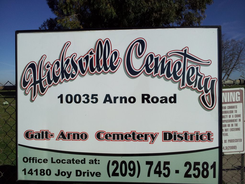
| Description | : | Located on north side of Arno Road about 4/10 mile east of the intersection of Arno Road and Valensin Ranch Road. |
frequently asked questions (FAQ):
-
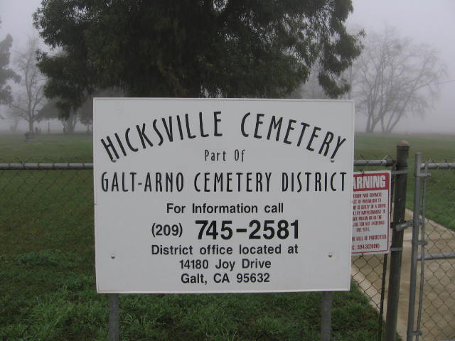
Where is Hicksville Cemetery?
Hicksville Cemetery is located at Arno Road Hicksville, Sacramento County ,California ,USA.
-
Hicksville Cemetery cemetery's updated grave count on graveviews.com?
244 memorials
-
Where are the coordinates of the Hicksville Cemetery?
Latitude: 38.3257942
Longitude: -121.3190765
Nearby Cemetories:
1. Galt Cemetery
Galt, Sacramento County, USA
Coordinate: 38.2414017, -121.3013992
2. Hilltop Cemetery
Elk Grove, Sacramento County, USA
Coordinate: 38.4156490, -121.3534950
3. Liberty Cemetery
Acampo, San Joaquin County, USA
Coordinate: 38.2350006, -121.2782974
4. Elk Grove Cosumnes-Cemetery
Elk Grove, Sacramento County, USA
Coordinate: 38.4088593, -121.3875504
5. Pleasant Grove Cemetery
Elk Grove, Sacramento County, USA
Coordinate: 38.4302220, -121.3107670
6. Point Pleasant Cemetery
Point Pleasant, Sacramento County, USA
Coordinate: 38.3308525, -121.4638290
7. Franklin Cemetery
Franklin, Sacramento County, USA
Coordinate: 38.3761749, -121.4558029
8. East Lawn Elk Grove Memorial Park
Elk Grove, Sacramento County, USA
Coordinate: 38.4282608, -121.3969955
9. De Vries Ranch Family Cemetery
Lodi, San Joaquin County, USA
Coordinate: 38.2005530, -121.3556060
10. Union Cemetery
Sacramento County, USA
Coordinate: 38.4477997, -121.2619019
11. Chua Phuoc Thien Temple Columbarium
Sacramento, Sacramento County, USA
Coordinate: 38.4555400, -121.3345500
12. San Joaquin Cemetery
Sacramento, Sacramento County, USA
Coordinate: 38.4387665, -121.4034653
13. Elliott Cemetery
San Joaquin County, USA
Coordinate: 38.2341995, -121.1761017
14. Fairbanks Ranch Cemetery
San Joaquin County, USA
Coordinate: 38.2310250, -121.1725170
15. Sacramento Pet Cemetery
Sacramento, Sacramento County, USA
Coordinate: 38.4815870, -121.3402080
16. Woodbridge Masonic Cemetery
Woodbridge, San Joaquin County, USA
Coordinate: 38.1496506, -121.3016663
17. Sharp Family Cemetery
Walnut Grove, Sacramento County, USA
Coordinate: 38.2351900, -121.5135800
18. Quiet Haven Memorial Park Cemetery
Sacramento, Sacramento County, USA
Coordinate: 38.5109711, -121.3245621
19. Bellview Cemetery
Sacramento, Sacramento County, USA
Coordinate: 38.5153580, -121.3257446
20. Greater Sacramento Muslim Cemetery
Sacramento, Sacramento County, USA
Coordinate: 38.5128300, -121.2616800
21. Locke Cemetery
Lockeford, San Joaquin County, USA
Coordinate: 38.1758003, -121.1616974
22. Sloughhouse Pioneer Cemetery
Sloughhouse, Sacramento County, USA
Coordinate: 38.4950130, -121.1916080
23. Camellia Memorial Lawn Cemetery
Sacramento, Sacramento County, USA
Coordinate: 38.5242004, -121.3097000
24. Elder Creek Cemetery
Florin, Sacramento County, USA
Coordinate: 38.5111008, -121.4169006