
| Memorials | : | 1 |
| Location | : | Oneida, Brown County, USA |
| Coordinate | : | 44.4945984, -88.1825027 |
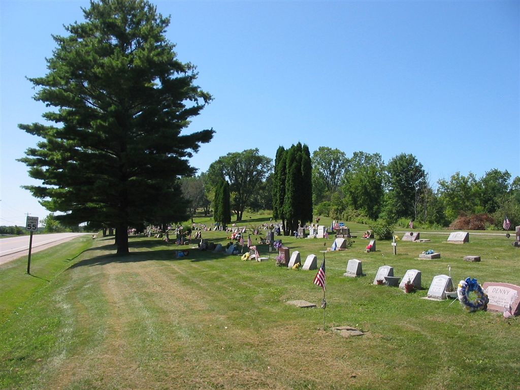
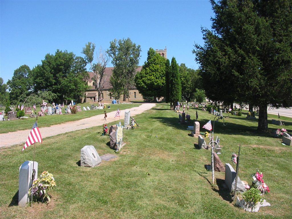
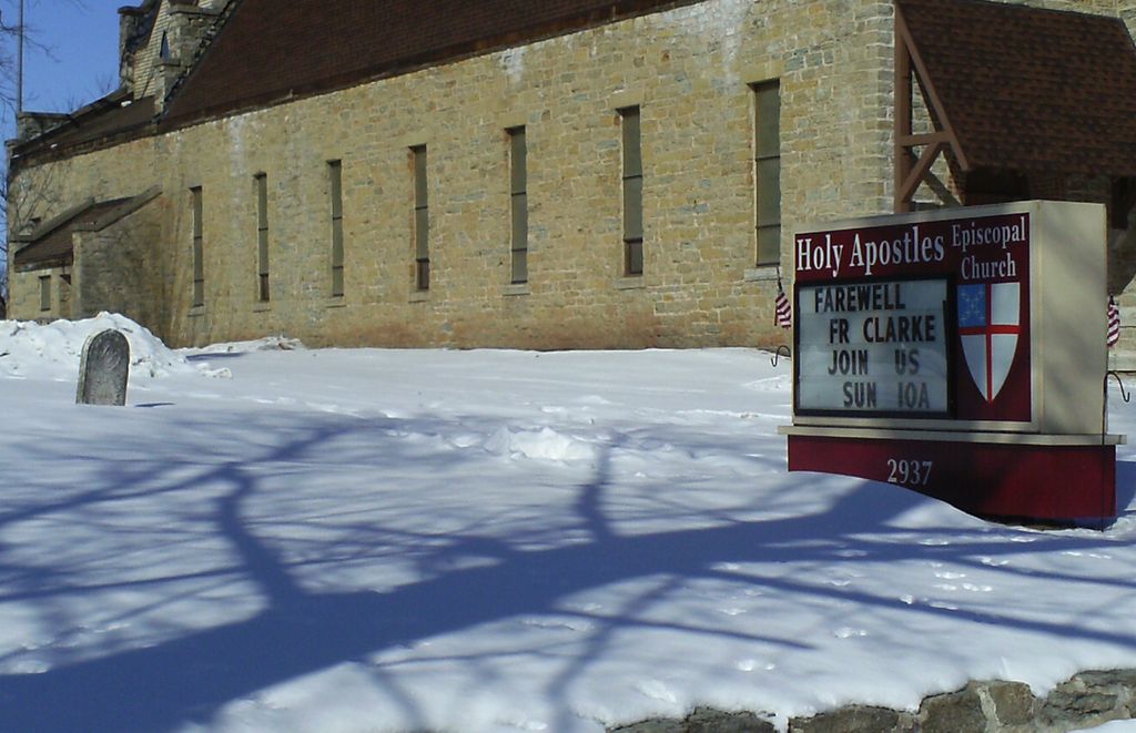
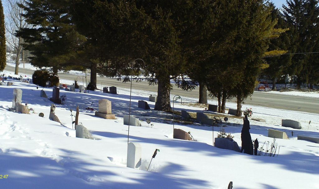
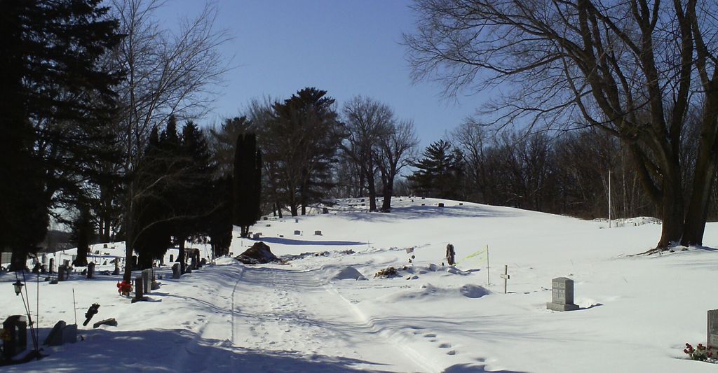
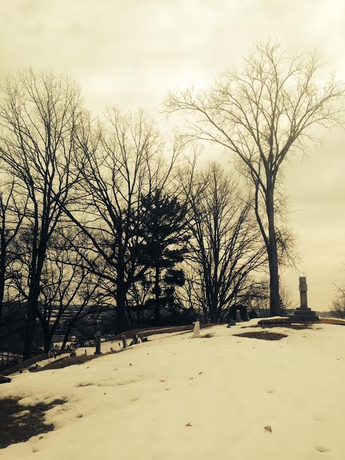
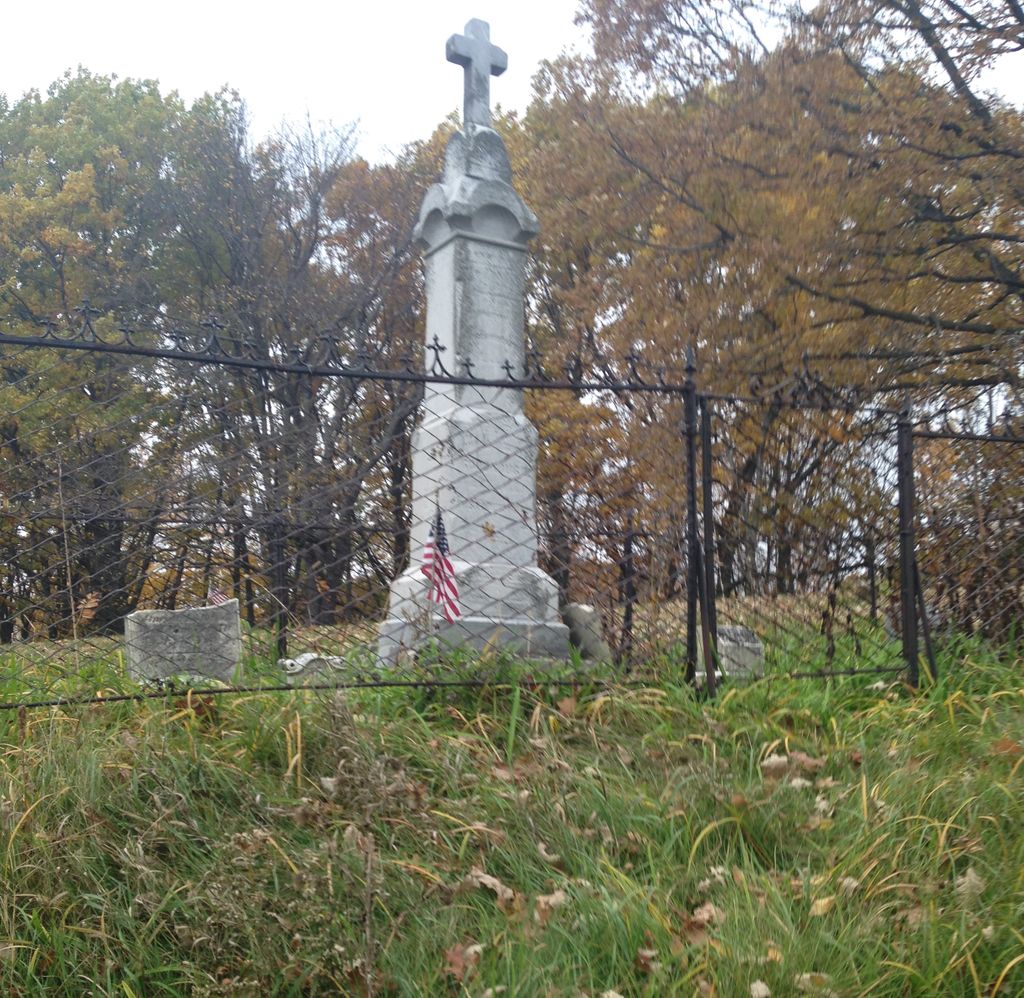
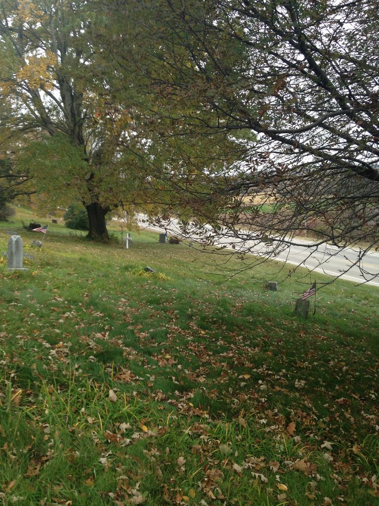
| Description | : | Located in the Township of Hobart, Brown County, Wisconsin, in the Oneida Reservation. On the west side of County Highway U and E (Freedom Road), 0.5 miles south of State Highway 172 (Airport Drive). |
frequently asked questions (FAQ):
-
Where is Holy Apostles Church Cemetery?
Holy Apostles Church Cemetery is located at Oneida, Brown County ,Wisconsin ,USA.
-
Holy Apostles Church Cemetery cemetery's updated grave count on graveviews.com?
1 memorials
-
Where are the coordinates of the Holy Apostles Church Cemetery?
Latitude: 44.4945984
Longitude: -88.1825027
Nearby Cemetories:
1. Latter Day Saints Cemetery
Chicago Corners, Outagamie County, USA
Coordinate: 44.5038030, -88.1913670
2. Saint Joseph Cemetery
Chicago Corners, Outagamie County, USA
Coordinate: 44.4850006, -88.2082977
3. Oneida Sacred Burial Grounds
Oneida, Brown County, USA
Coordinate: 44.4724400, -88.1811600
4. Oneida Assembly of God Cemetery
Oneida, Outagamie County, USA
Coordinate: 44.5035400, -88.2109900
5. Zion Lutheran Cemetery
Oneida, Brown County, USA
Coordinate: 44.5175018, -88.1716995
6. Saint Johns Lutheran Cemetery of Ashwaubenon
Green Bay, Brown County, USA
Coordinate: 44.5033610, -88.1191380
7. United Methodist Cemetery
Oneida, Outagamie County, USA
Coordinate: 44.4553900, -88.2181600
8. Church of Christ Cemetery
Chicago Corners, Outagamie County, USA
Coordinate: 44.4441986, -88.2230988
9. Ashwaubenon Moravian Cemetery
Green Bay, Brown County, USA
Coordinate: 44.4930110, -88.0984300
10. Immaculate Conception Cemetery
De Pere, Brown County, USA
Coordinate: 44.4413270, -88.2303980
11. Mount Calvary Cemetery
De Pere, Brown County, USA
Coordinate: 44.4572144, -88.0992661
12. Cady Cemetery
De Pere, Brown County, USA
Coordinate: 44.4346800, -88.1198100
13. Saint John the Baptist Church Cemetery
Howard, Brown County, USA
Coordinate: 44.5732994, -88.1082993
14. Mill Centre Cemetery
Howard, Brown County, USA
Coordinate: 44.5896988, -88.1493988
15. De Pere Greenwood Cemetery
De Pere, Brown County, USA
Coordinate: 44.4308014, -88.0693970
16. Saint Norbert Abbey Cemetery
De Pere, Brown County, USA
Coordinate: 44.4573300, -88.0465100
17. Saint John Catholic Cemetery
Seymour, Outagamie County, USA
Coordinate: 44.4991989, -88.3292007
18. Duck Creek Cemetery
Green Bay, Brown County, USA
Coordinate: 44.5583900, -88.0646000
19. Saint Sebastian Cemetery
Isaar, Outagamie County, USA
Coordinate: 44.5708008, -88.2855988
20. Mount Olivet Catholic Cemetery
De Pere, Brown County, USA
Coordinate: 44.4392014, -88.0543976
21. Saint Michaels Cemetery
De Pere, Brown County, USA
Coordinate: 44.3968000, -88.1197000
22. Miller Family Cemetery
Seymour, Outagamie County, USA
Coordinate: 44.5081400, -88.3329800
23. Fort Howard Memorial Park
Green Bay, Brown County, USA
Coordinate: 44.5439987, -88.0449982
24. Owego Cemetery
Angelica, Shawano County, USA
Coordinate: 44.5952988, -88.2497025