
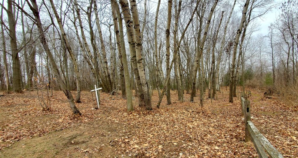
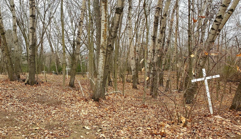
| Memorials | : | 0 |
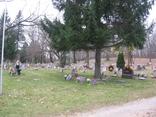
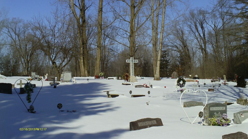
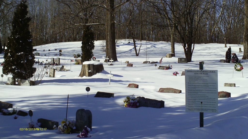
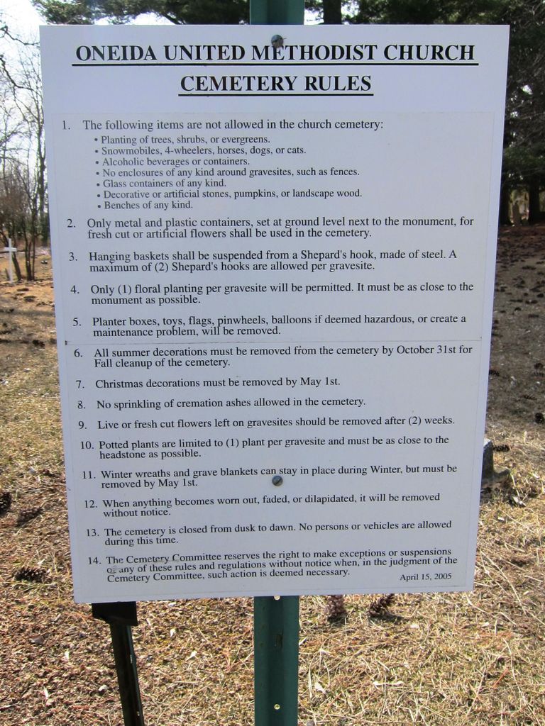
| Location | : | Oneida, Outagamie County, USA |
| Coordinate | : | 44.4553900, -88.2181600 |
frequently asked questions (FAQ):
-
Where is United Methodist Cemetery?
United Methodist Cemetery is located at Oneida, Outagamie County ,Wisconsin ,USA.
-
United Methodist Cemetery cemetery's updated grave count on graveviews.com?
0 memorials
-
Where are the coordinates of the United Methodist Cemetery?
Latitude: 44.4553900
Longitude: -88.2181600
Nearby Cemetories:
1. Church of Christ Cemetery
Chicago Corners, Outagamie County, USA
Coordinate: 44.4441986, -88.2230988
2. Immaculate Conception Cemetery
De Pere, Brown County, USA
Coordinate: 44.4413270, -88.2303980
3. Saint Joseph Cemetery
Chicago Corners, Outagamie County, USA
Coordinate: 44.4850006, -88.2082977
4. Oneida Sacred Burial Grounds
Oneida, Brown County, USA
Coordinate: 44.4724400, -88.1811600
5. Holy Apostles Church Cemetery
Oneida, Brown County, USA
Coordinate: 44.4945984, -88.1825027
6. Oneida Assembly of God Cemetery
Oneida, Outagamie County, USA
Coordinate: 44.5035400, -88.2109900
7. Latter Day Saints Cemetery
Chicago Corners, Outagamie County, USA
Coordinate: 44.5038030, -88.1913670
8. Zion Lutheran Cemetery
Oneida, Brown County, USA
Coordinate: 44.5175018, -88.1716995
9. Cady Cemetery
De Pere, Brown County, USA
Coordinate: 44.4346800, -88.1198100
10. Mount Calvary Cemetery
De Pere, Brown County, USA
Coordinate: 44.4572144, -88.0992661
11. Saint Nicholas Cemetery
Freedom, Outagamie County, USA
Coordinate: 44.3854904, -88.2868118
12. Saint Johns Lutheran Cemetery of Ashwaubenon
Green Bay, Brown County, USA
Coordinate: 44.5033610, -88.1191380
13. Saint John Catholic Cemetery
Seymour, Outagamie County, USA
Coordinate: 44.4991989, -88.3292007
14. Saint Michaels Cemetery
De Pere, Brown County, USA
Coordinate: 44.3968000, -88.1197000
15. Ashwaubenon Moravian Cemetery
Green Bay, Brown County, USA
Coordinate: 44.4930110, -88.0984300
16. South Lawrence Cemetery
De Pere, Brown County, USA
Coordinate: 44.3664017, -88.1766968
17. Miller Family Cemetery
Seymour, Outagamie County, USA
Coordinate: 44.5081400, -88.3329800
18. Freedom Moravian Cemetery
Freedom, Outagamie County, USA
Coordinate: 44.3959236, -88.3342056
19. Zion Lutheran Church Cemetery
Seymour, Outagamie County, USA
Coordinate: 44.5115013, -88.3480148
20. De Pere Greenwood Cemetery
De Pere, Brown County, USA
Coordinate: 44.4308014, -88.0693970
21. Mount Olivet Catholic Cemetery
De Pere, Brown County, USA
Coordinate: 44.4392014, -88.0543976
22. Emmanuel Lutheran Cemetery
Seymour, Outagamie County, USA
Coordinate: 44.5289001, -88.3482971
23. Freedom Cemetery
Freedom, Outagamie County, USA
Coordinate: 44.4110985, -88.3722000
24. Seymour Cemetery
Seymour, Outagamie County, USA
Coordinate: 44.5303001, -88.3478012