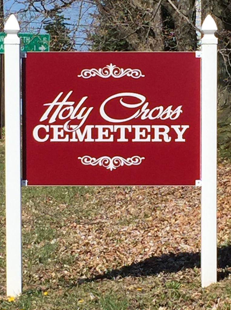
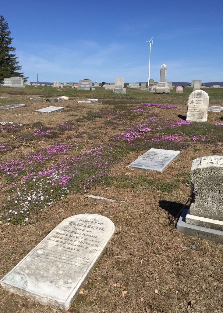
| Memorials | : | 3 |
| Location | : | Bushkill Center, Northampton County, USA |
| Coordinate | : | 40.7940200, -75.3240200 |
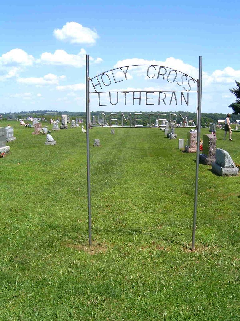
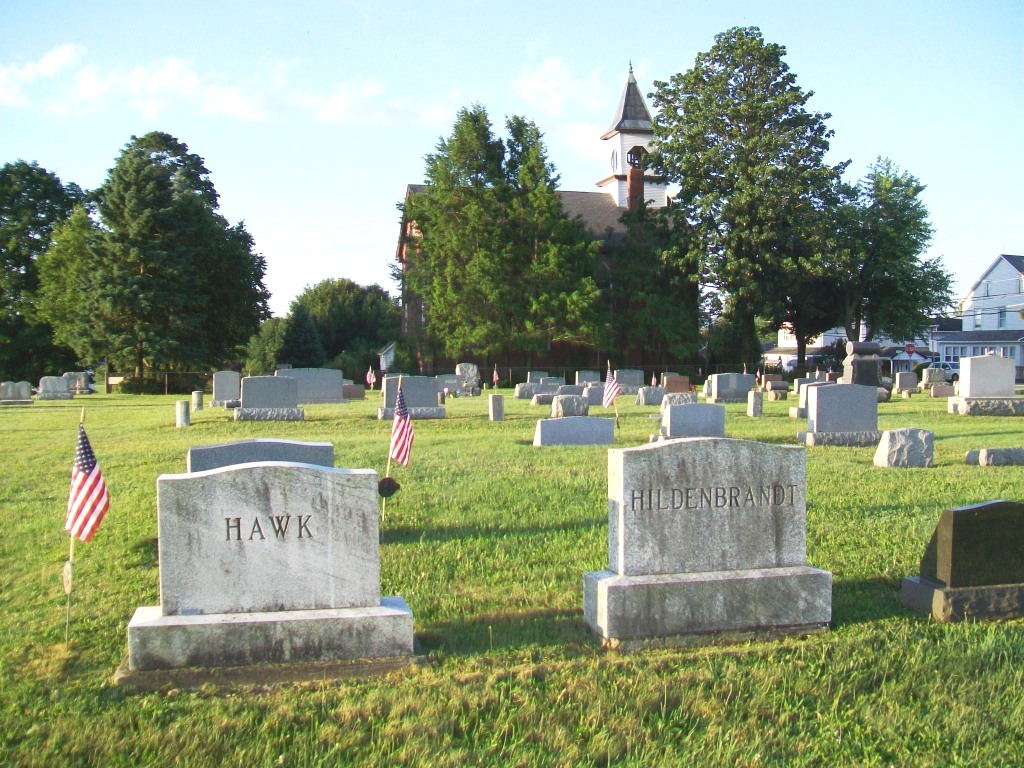
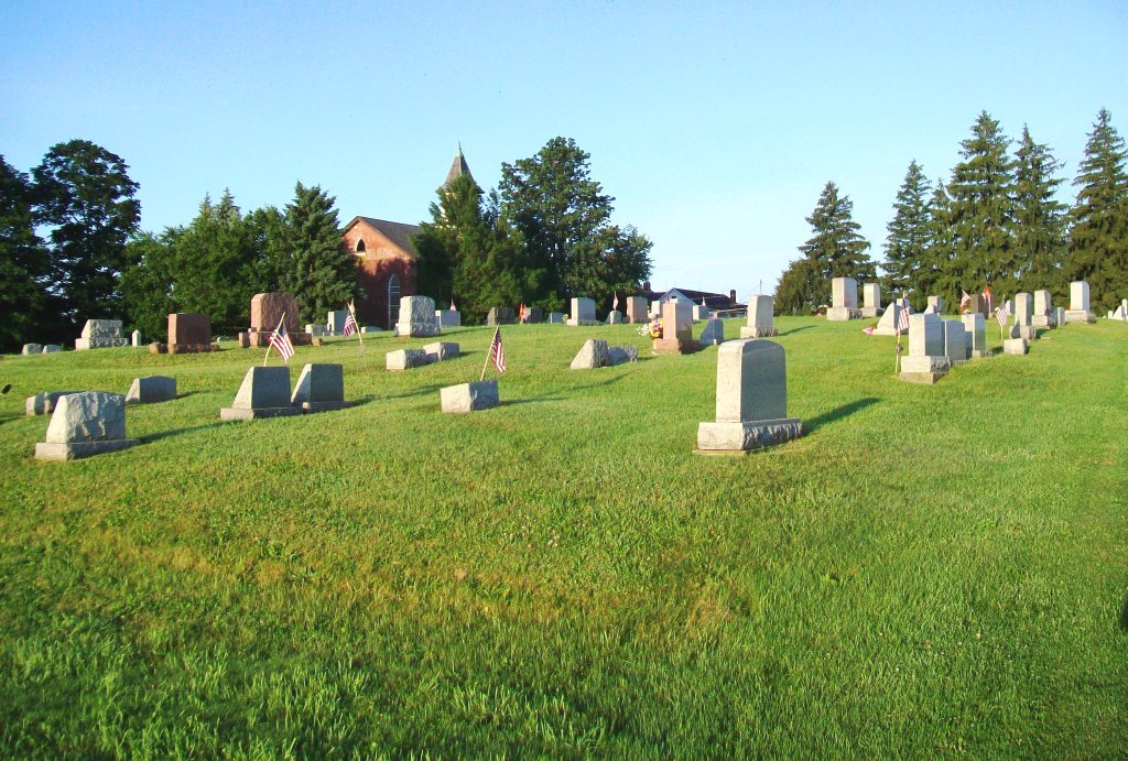
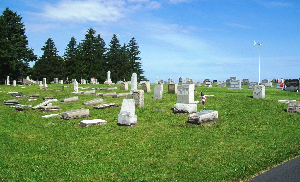
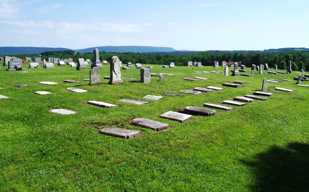
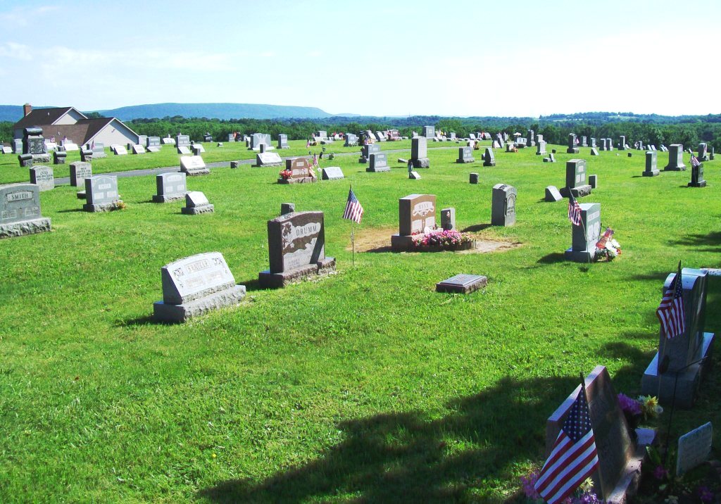
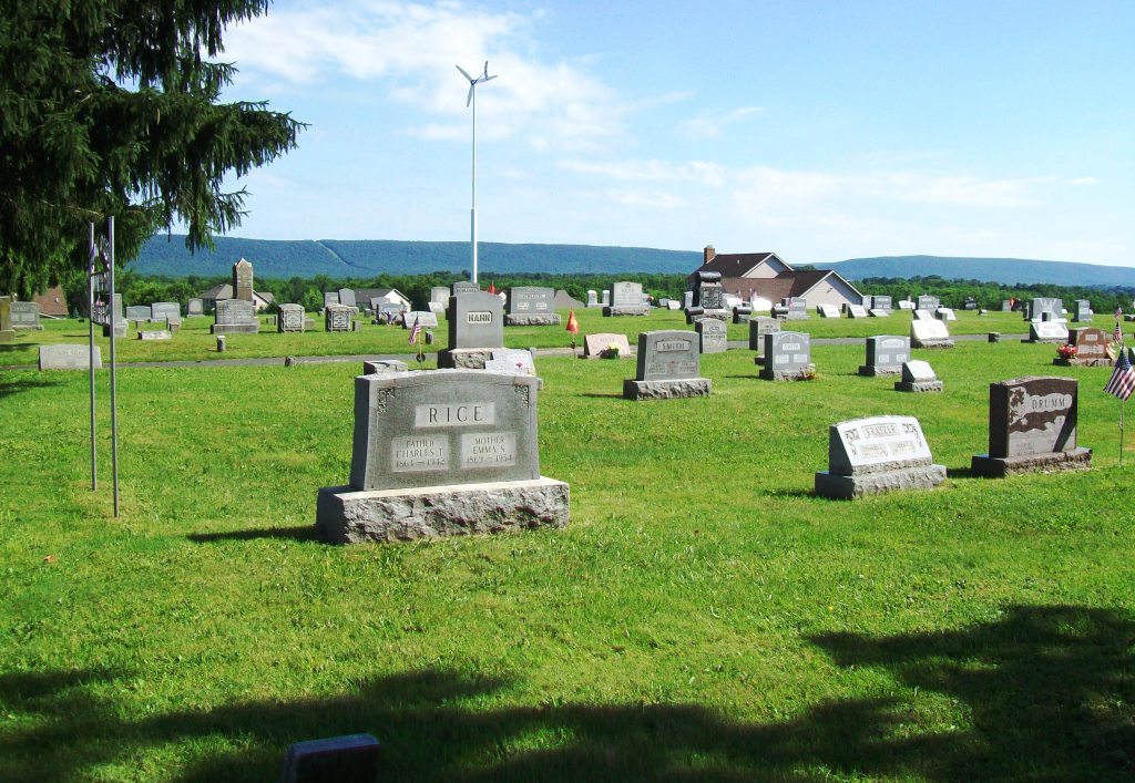
| Description | : | The church next to the cemetery was started in 1873 and originally called the Jehovah Union Church until it was dissolved in 1963 and became the Jehovah Lutheran Church. It merged with the Lutheran congregation of Salem Union Church of Moorestown in 1971 to become the Holy Cross Evangelical Lutheran Church (which owns the cemetery). The building is currently used by Faith Family Fellowship Church and is not associated with the cemetery. The cemetery was started the same year as the church in 1873. The Children's Lot is a very small area behind the church along Belfast Road and under... Read More |
frequently asked questions (FAQ):
-
Where is Holy Cross Lutheran Cemetery?
Holy Cross Lutheran Cemetery is located at Bushkill Center, Northampton County ,Pennsylvania ,USA.
-
Holy Cross Lutheran Cemetery cemetery's updated grave count on graveviews.com?
3 memorials
-
Where are the coordinates of the Holy Cross Lutheran Cemetery?
Latitude: 40.7940200
Longitude: -75.3240200
Nearby Cemetories:
1. Bushkill United Methodist Cemetery
Clearfield, Northampton County, USA
Coordinate: 40.8063600, -75.3565500
2. Interdenominational Church Cemetery
Clearfield, Northampton County, USA
Coordinate: 40.8060230, -75.3568130
3. Belfast Union Cemetery
Belfast, Northampton County, USA
Coordinate: 40.7818985, -75.2822037
4. Zion Evangelical Cemetery
Nazareth, Northampton County, USA
Coordinate: 40.7540320, -75.3274760
5. God's Acre
Schoeneck, Northampton County, USA
Coordinate: 40.7557900, -75.3081000
6. Salem Union Church Cemetery
Moorestown, Northampton County, USA
Coordinate: 40.7830500, -75.3782000
7. Gracedale Cemetery
Nazareth, Northampton County, USA
Coordinate: 40.7510000, -75.3287000
8. Greenwood Cemetery
Nazareth, Northampton County, USA
Coordinate: 40.7486000, -75.3161011
9. Moravian Indian Tower Cemetery
Nazareth, Northampton County, USA
Coordinate: 40.7474000, -75.3227000
10. Fairview Cemetery
Moorestown, Northampton County, USA
Coordinate: 40.7818300, -75.3837600
11. Holy Family Cemetery
Nazareth, Northampton County, USA
Coordinate: 40.7463989, -75.3218994
12. Wind Gap Cemetery
Wind Gap, Northampton County, USA
Coordinate: 40.8294500, -75.2769800
13. Plainfield Cemetery
Plainfield Township, Northampton County, USA
Coordinate: 40.8286700, -75.2756900
14. Holy Family Church Cemetery Lower
Nazareth, Northampton County, USA
Coordinate: 40.7432650, -75.3199500
15. Nazareth Moravian Cemetery
Nazareth, Northampton County, USA
Coordinate: 40.7430992, -75.3178024
16. Saint Johns Lutheran Church Columbarium
Nazareth, Northampton County, USA
Coordinate: 40.7379880, -75.3098130
17. Benders Mennonite Church Cemetery
Pen Argyl, Northampton County, USA
Coordinate: 40.8199310, -75.2520190
18. Saint Johns Cemetery
Nazareth, Northampton County, USA
Coordinate: 40.7344017, -75.3091965
19. Point Phillips Cemetery
Point Phillip, Northampton County, USA
Coordinate: 40.7984780, -75.4048620
20. Bruch Cemetery
Wind Gap, Northampton County, USA
Coordinate: 40.8480901, -75.2810064
21. Saint Marys Cemetery
Wind Gap, Northampton County, USA
Coordinate: 40.8525000, -75.2856500
22. Forks Cemetery
Stockertown, Northampton County, USA
Coordinate: 40.7524000, -75.2507700
23. Chapman Cemetery
Chapman, Northampton County, USA
Coordinate: 40.7625920, -75.4066750
24. Chapman Quarries United Methodist Church Cemetery
Chapman, Northampton County, USA
Coordinate: 40.7591180, -75.4043130

