
| Memorials | : | 0 |
| Location | : | Point Phillip, Northampton County, USA |
| Coordinate | : | 40.7984780, -75.4048620 |
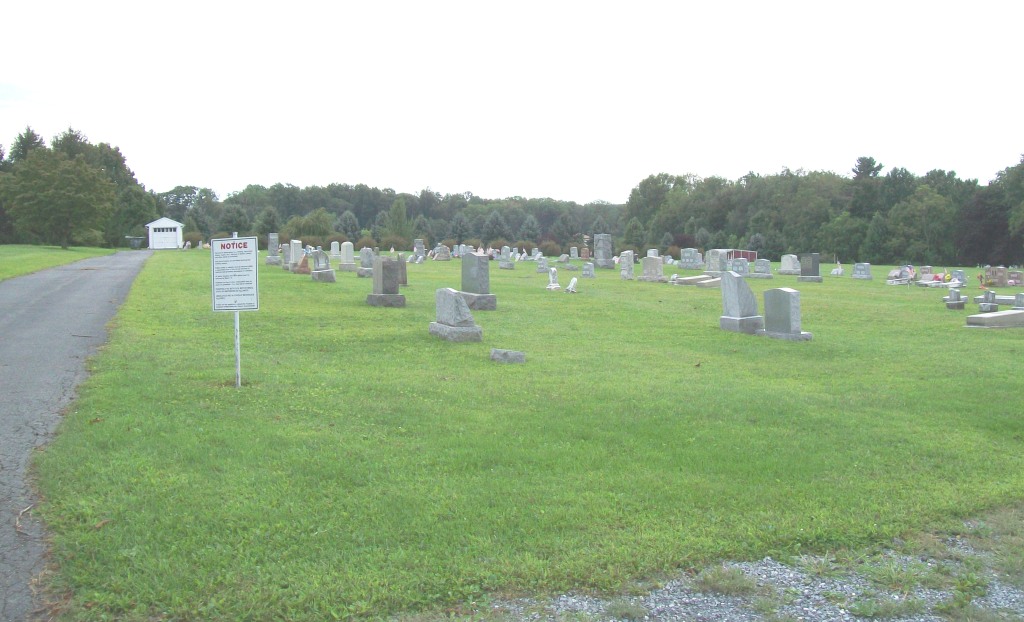
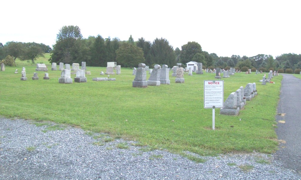
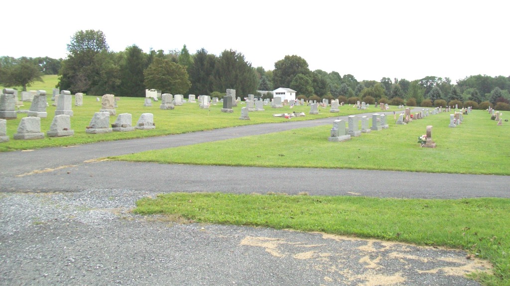
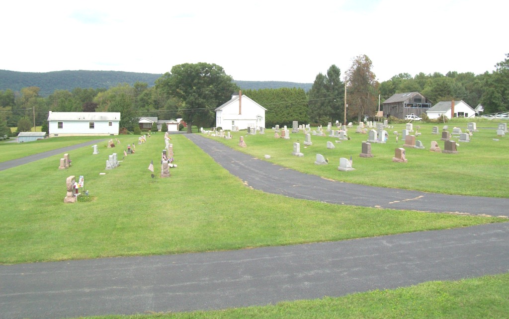
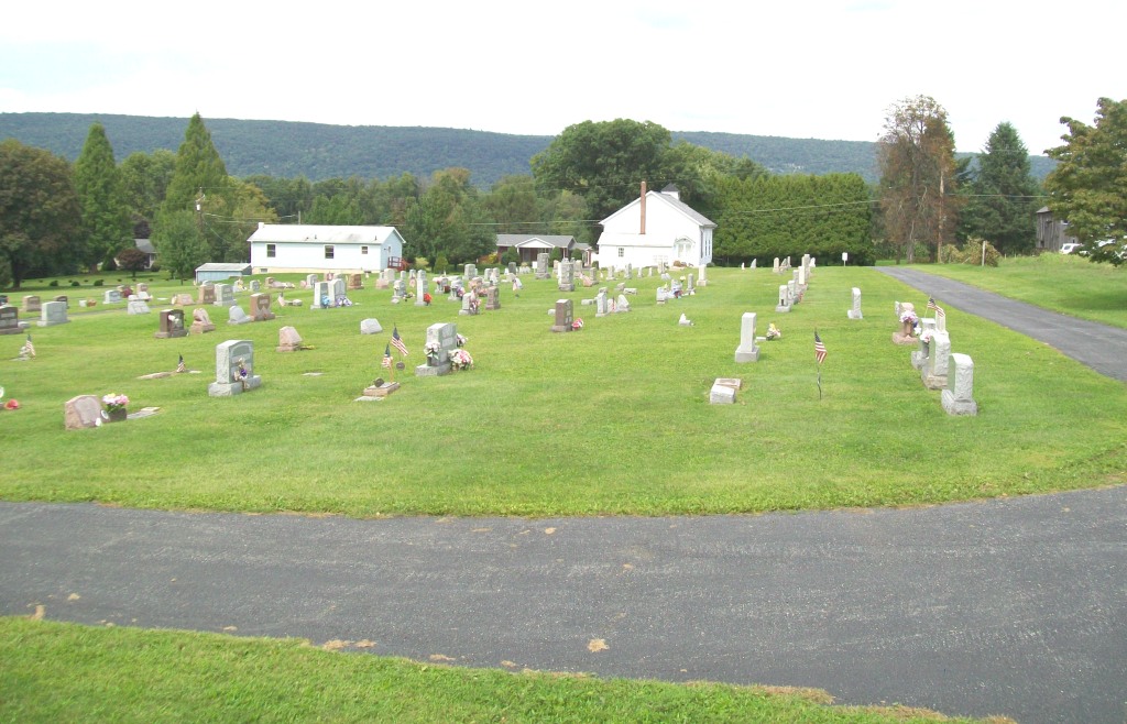
| Description | : | Originally the cemetery was known as the Salem Evangelical United Brethren Church Cemetery. In 1969 Salem Evangelical United Brethren Church of Point Phillip merged with Emmanuel Evangelical United Brethren Church of Cross Roads to become the Covenant United Methodist Church of Klecknersville which maintains the cemetery. Although the church building in front of the cemetery is currently used by the Iglesia Pentacostal Church the cemetery is not associated with that church. |
frequently asked questions (FAQ):
-
Where is Point Phillips Cemetery?
Point Phillips Cemetery is located at Point Phillip, Northampton County ,Pennsylvania ,USA.
-
Point Phillips Cemetery cemetery's updated grave count on graveviews.com?
0 memorials
-
Where are the coordinates of the Point Phillips Cemetery?
Latitude: 40.7984780
Longitude: -75.4048620
Nearby Cemetories:
1. Fairview Cemetery
Moorestown, Northampton County, USA
Coordinate: 40.7818300, -75.3837600
2. Salem Union Church Cemetery
Moorestown, Northampton County, USA
Coordinate: 40.7830500, -75.3782000
3. Chapman Cemetery
Chapman, Northampton County, USA
Coordinate: 40.7625920, -75.4066750
4. Interdenominational Church Cemetery
Clearfield, Northampton County, USA
Coordinate: 40.8060230, -75.3568130
5. Bushkill United Methodist Cemetery
Clearfield, Northampton County, USA
Coordinate: 40.8063600, -75.3565500
6. Chapman Quarries United Methodist Church Cemetery
Chapman, Northampton County, USA
Coordinate: 40.7591180, -75.4043130
7. Mountain View Cemetery
Northampton County, USA
Coordinate: 40.7610000, -75.4576000
8. Emmanuel's Union Church Cemetery
Emanuelsville, Northampton County, USA
Coordinate: 40.7599000, -75.4585040
9. Valley View Cemetery
Emanuelsville, Northampton County, USA
Coordinate: 40.7596000, -75.4591500
10. Christ Church Little Moore Cemetery
Danielsville, Northampton County, USA
Coordinate: 40.7817620, -75.4768500
11. Saint Matthews UCC Cemetery
Kunkletown, Monroe County, USA
Coordinate: 40.8498000, -75.4485000
12. Saint Matthews Union Cemetery
Kunkletown, Monroe County, USA
Coordinate: 40.8497060, -75.4491170
13. Holy Cross Lutheran Cemetery
Bushkill Center, Northampton County, USA
Coordinate: 40.7940200, -75.3240200
14. Siegfried Cemetery
Bath, Northampton County, USA
Coordinate: 40.7268580, -75.3987590
15. Green Mount Cemetery
Bath, Northampton County, USA
Coordinate: 40.7265900, -75.3849400
16. Zion Evangelical Cemetery
Nazareth, Northampton County, USA
Coordinate: 40.7540320, -75.3274760
17. Sacred Heart Cemetery
Bath, Northampton County, USA
Coordinate: 40.7257000, -75.3874000
18. Bath Kircheyard
Bath, Northampton County, USA
Coordinate: 40.7246400, -75.3904300
19. Gracedale Cemetery
Nazareth, Northampton County, USA
Coordinate: 40.7510000, -75.3287000
20. Moravian Indian Tower Cemetery
Nazareth, Northampton County, USA
Coordinate: 40.7474000, -75.3227000
21. Saint Peters UCC Church Cemetery
Northampton, Northampton County, USA
Coordinate: 40.7227200, -75.4420600
22. Holy Family Cemetery
Nazareth, Northampton County, USA
Coordinate: 40.7463989, -75.3218994
23. Greenwood Cemetery
Nazareth, Northampton County, USA
Coordinate: 40.7486000, -75.3161011
24. Holy Family Church Cemetery Lower
Nazareth, Northampton County, USA
Coordinate: 40.7432650, -75.3199500