
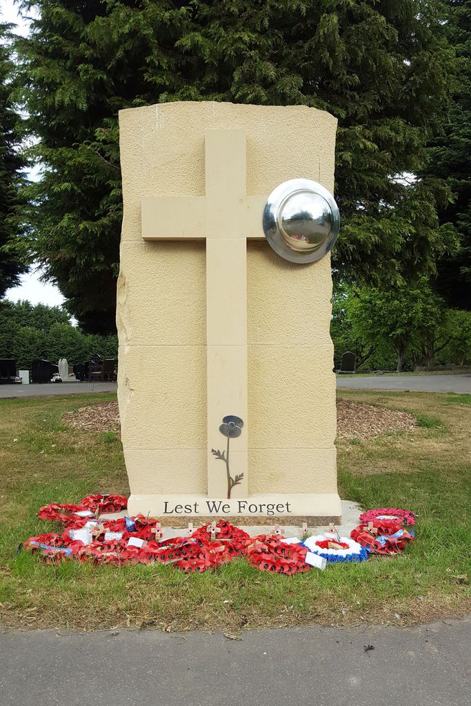
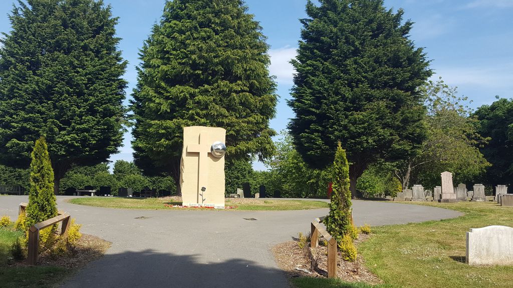
| Memorials | : | 2 |
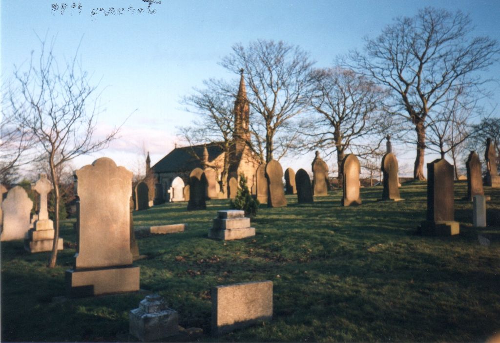
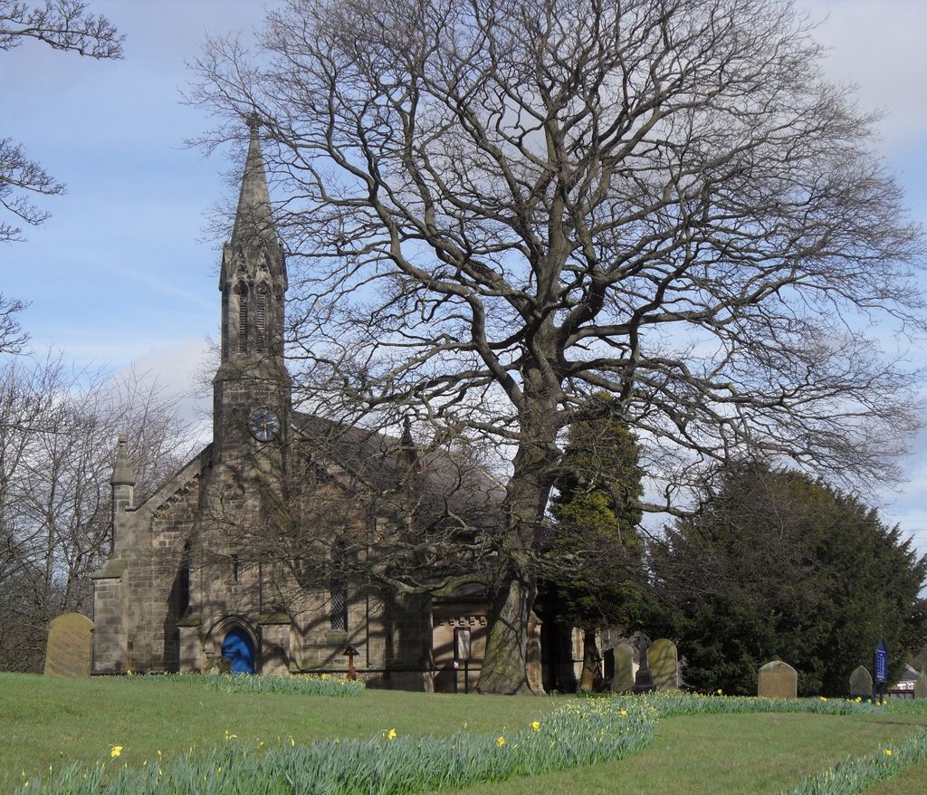
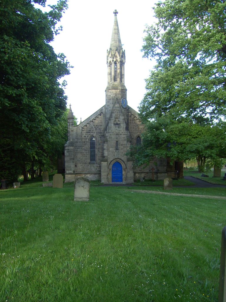
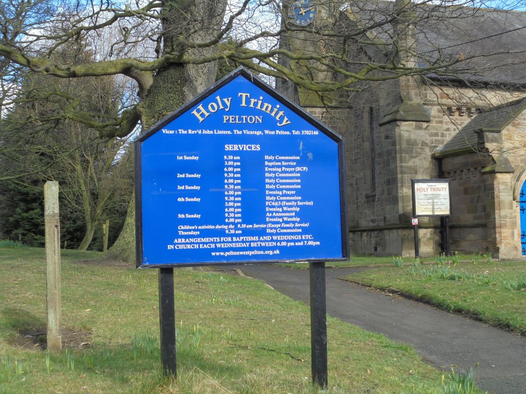
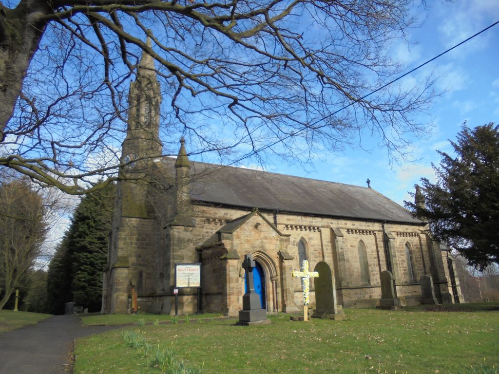
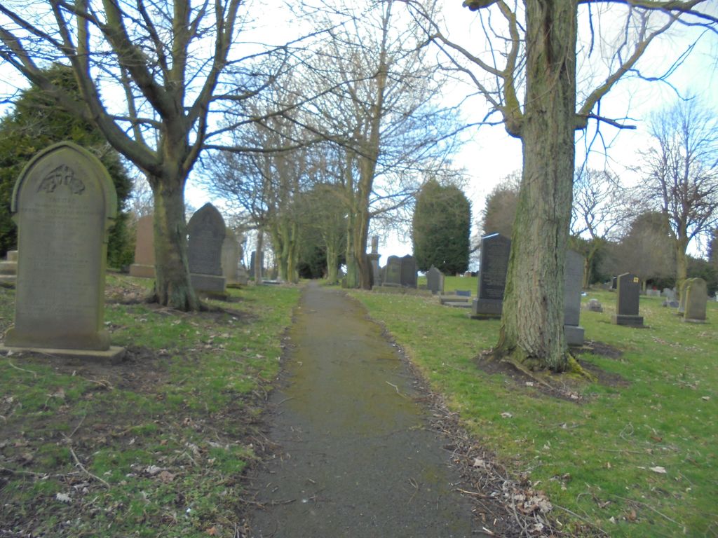
| Location | : | Pelton, Durham Unitary Authority, England |
| Coordinate | : | 54.8720010, -1.6197170 |
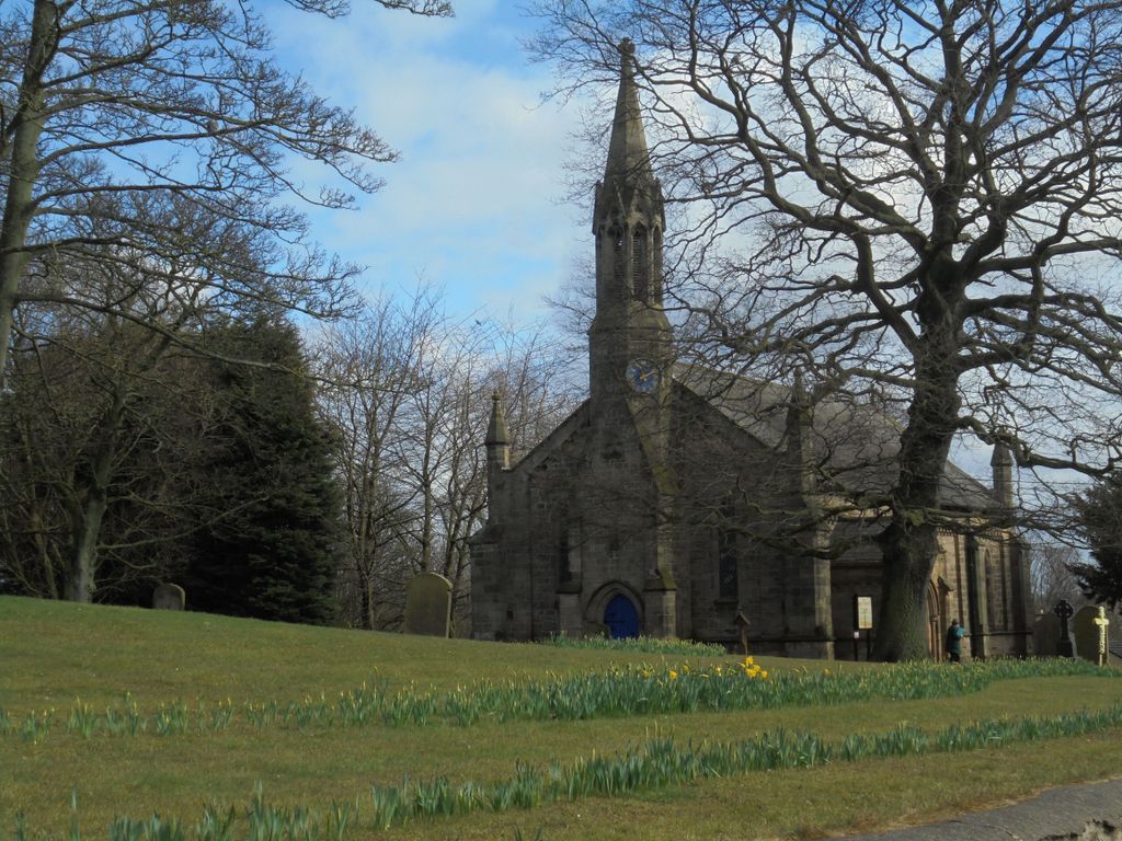
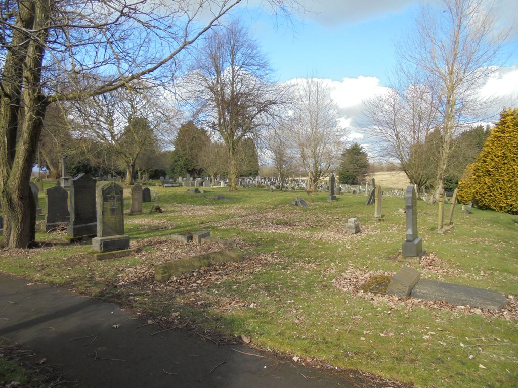
| Description | : | The first burial in the churchyard took place in November 1842. The adjoining cemetery was opened in September 1889, the cemetery and burial records are maintained by Durham County Council. |
frequently asked questions (FAQ):
-
Where is Holy Trinity Churchyard and Cemetery?
Holy Trinity Churchyard and Cemetery is located at Pelton, Durham Unitary Authority ,County Durham ,England.
-
Holy Trinity Churchyard and Cemetery cemetery's updated grave count on graveviews.com?
2 memorials
-
Where are the coordinates of the Holy Trinity Churchyard and Cemetery?
Latitude: 54.8720010
Longitude: -1.6197170
Nearby Cemetories:
1. St Mary and St Cuthbert Churchyard
Chester-Le-Street, Durham Unitary Authority, England
Coordinate: 54.8559050, -1.5717160
2. St John the Evangelist Churchyard
Birtley, Metropolitan Borough of Gateshead, England
Coordinate: 54.8943500, -1.5742700
3. St Thomas Churchyard
Craghead, Durham Unitary Authority, England
Coordinate: 54.8505370, -1.6664580
4. Ropery Lane Cemetery
Chester-Le-Street, Durham Unitary Authority, England
Coordinate: 54.8514400, -1.5690300
5. St Joseph Roman Catholic Churchyard
Birtley, Metropolitan Borough of Gateshead, England
Coordinate: 54.8981200, -1.5773600
6. Birtley Crematorium and Cemetery
Birtley, Metropolitan Borough of Gateshead, England
Coordinate: 54.9052590, -1.5832360
7. St Andrews Churchyard
Lamesley, Metropolitan Borough of Gateshead, England
Coordinate: 54.9154000, -1.6076010
8. St. Peter's Churchyard
Sacriston, Durham Unitary Authority, England
Coordinate: 54.8232600, -1.6307850
9. St Bede's Catholic Church
Sacriston, Durham Unitary Authority, England
Coordinate: 54.8221050, -1.6286550
10. St. George's Churchyard
South Moor, Durham Unitary Authority, England
Coordinate: 54.8570620, -1.7050020
11. St. George's Churchyard
Fatfield, Metropolitan Borough of Sunderland, England
Coordinate: 54.8803030, -1.5302700
12. Sacriston Cemetery
Sacriston, Durham Unitary Authority, England
Coordinate: 54.8200330, -1.6310180
13. St Philip & St James Churchyard
Kimblesworth, Durham Unitary Authority, England
Coordinate: 54.8209600, -1.5956900
14. Christchurch Churchyard
Great Lumley, Durham Unitary Authority, England
Coordinate: 54.8370890, -1.5417950
15. Great Lumley Cemetery
Great Lumley, Durham Unitary Authority, England
Coordinate: 54.8362470, -1.5421175
16. St Cuthbert's Church Yard
Marley Hill, Metropolitan Borough of Gateshead, England
Coordinate: 54.9174339, -1.6817654
17. St. Barnabas Churchyard
Bournmoor, Durham Unitary Authority, England
Coordinate: 54.8571260, -1.5195110
18. St. John's Churchyard
Burnhope, Durham Unitary Authority, England
Coordinate: 54.8323830, -1.6997730
19. St Oswald’s Roman Catholic Cemetery
Wrekenton, Metropolitan Borough of Gateshead, England
Coordinate: 54.9278600, -1.5732900
20. Our Blessed Lady Immaculate RC Churchyard
Washington, Metropolitan Borough of Sunderland, England
Coordinate: 54.9035800, -1.5212300
21. Holy Trinity Churchyard
Washington, Metropolitan Borough of Sunderland, England
Coordinate: 54.9031000, -1.5167800
22. Holy Trinity Churchyard
Usworth, Metropolitan Borough of Sunderland, England
Coordinate: 54.9205210, -1.5385030
23. Washington Cemetery
Washington, Metropolitan Borough of Sunderland, England
Coordinate: 54.9029540, -1.5149770
24. St. John's Churchyard Gateshead Fell
Sheriff Hill, Metropolitan Borough of Gateshead, England
Coordinate: 54.9384680, -1.5882350