
| Memorials | : | 1 |
| Location | : | Fruithurst, Cleburne County, USA |
| Coordinate | : | 33.7571983, -85.4170990 |
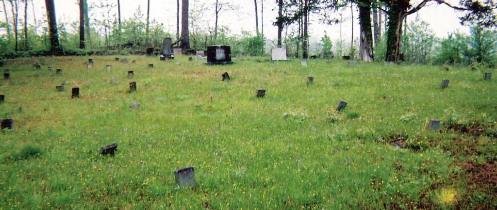
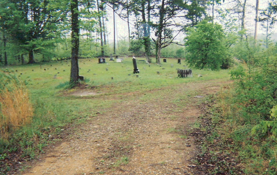
| Description | : | Township 15 Range 12 Section 6. The directions are from US Highway 78 in Fruithurst, turn North on Cleburne County Road 35 at the U.S. Postal Facility. Continue approximately 1.5 miles to the intersection of HWY 78 and Cleburne County Road 82 West. At this juncture a dirt road is found which traverses almost 2 miles to the Hooper Cemetery. |
frequently asked questions (FAQ):
-
Where is Hooper Cemetery?
Hooper Cemetery is located at Fruithurst, Cleburne County ,Alabama ,USA.
-
Hooper Cemetery cemetery's updated grave count on graveviews.com?
1 memorials
-
Where are the coordinates of the Hooper Cemetery?
Latitude: 33.7571983
Longitude: -85.4170990
Nearby Cemetories:
1. Camp Ground United Methodist Church Cemetery
Muscadine, Cleburne County, USA
Coordinate: 33.7700005, -85.4131012
2. Living Word Family Church Cemetery
Muscadine, Cleburne County, USA
Coordinate: 33.7849890, -85.4255980
3. Muscadine Memory Garden
Muscadine, Cleburne County, USA
Coordinate: 33.7405014, -85.3878021
4. Fruithurst City Cemetery
Fruithurst, Cleburne County, USA
Coordinate: 33.7342730, -85.4415170
5. Mount Olive Church of God Cemetery
Fruithurst, Cleburne County, USA
Coordinate: 33.7589660, -85.4612970
6. State Line Cemetery
Muscadine, Cleburne County, USA
Coordinate: 33.7557660, -85.3615390
7. Bethel Cemetery
Cleburne County, USA
Coordinate: 33.7991982, -85.3891983
8. Mount Olive Cemetery
Fruithurst, Cleburne County, USA
Coordinate: 33.7097015, -85.4441986
9. Upper Cane Creek Cemetery
Fruithurst, Cleburne County, USA
Coordinate: 33.7338982, -85.4777985
10. Harmony Grove Cemetery
Fruithurst, Cleburne County, USA
Coordinate: 33.7313995, -85.4794006
11. Saint Michaels Lutheran Church Cemetery
Piney Woods, Cleburne County, USA
Coordinate: 33.8149986, -85.4075012
12. McAlpin Family Cemetery #1
Haralson County, USA
Coordinate: 33.7898930, -85.3529670
13. Cherry Grove Cemetery
Piney Woods, Cleburne County, USA
Coordinate: 33.8165900, -85.4423000
14. Mount Perry Cemetery
Cleburne County, USA
Coordinate: 33.8205986, -85.4253006
15. Mount Paran Baptist Church Cemetery
Piney Woods, Cleburne County, USA
Coordinate: 33.8209880, -85.4243660
16. Pilgrim's Rest Baptist Church Cemetery
Fruithurst, Cleburne County, USA
Coordinate: 33.7875300, -85.4866650
17. Unidentified Cemetery
Tallapoosa, Haralson County, USA
Coordinate: 33.7832028, -85.3414889
18. Friendship Baptist Church Cemetery
Muscadine, Cleburne County, USA
Coordinate: 33.7104600, -85.3570780
19. McAlpin Family Cemetery #2
Haralson County, USA
Coordinate: 33.8063240, -85.3552060
20. Pleasant Hill Baptist Church Cemetery
Tallapoosa, Haralson County, USA
Coordinate: 33.7918000, -85.3422100
21. Riverside Cemetery
Haralson County, USA
Coordinate: 33.7453003, -85.3293991
22. Mount Zion West Baptist Church Cemetery
Tallapoosa, Haralson County, USA
Coordinate: 33.7681007, -85.3272018
23. Buttram Cemetery
Oak Level, Cleburne County, USA
Coordinate: 33.8333970, -85.4205750
24. Camp Creek Baptist Church Cemetery
Oak Level, Cleburne County, USA
Coordinate: 33.8286018, -85.4518967