| Memorials | : | 0 |
| Location | : | New Kent, New Kent County, USA |
| Coordinate | : | 37.5872993, -77.1308975 |
frequently asked questions (FAQ):
-
Where is Hopewell Baptist Church Cemetery?
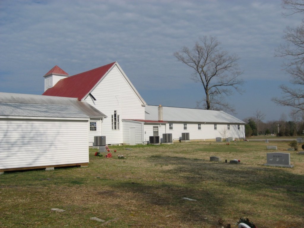
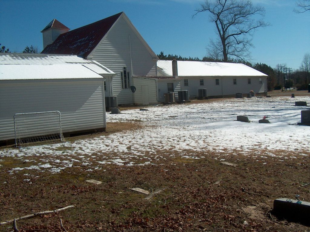
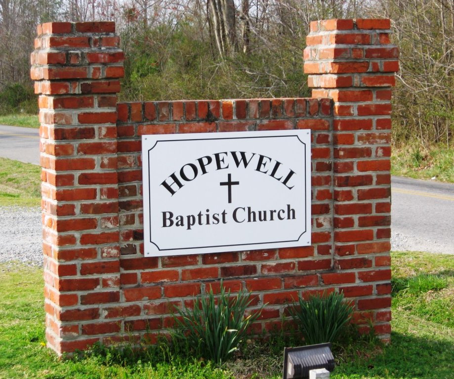
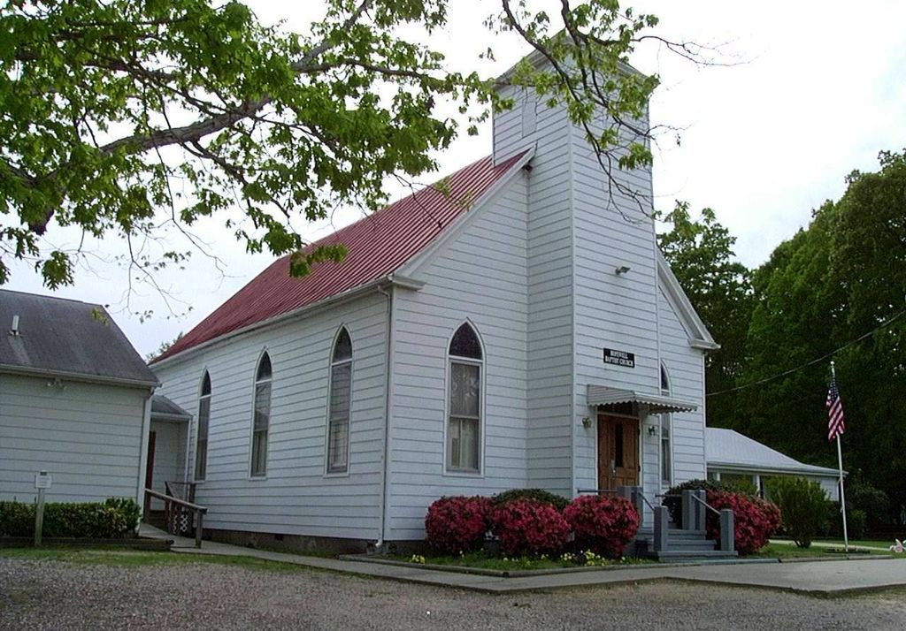
Hopewell Baptist Church Cemetery is located at 5061 Hopewell Road (Rt. 619) New Kent, New Kent County ,Virginia , 23124USA.
-
Hopewell Baptist Church Cemetery cemetery's updated grave count on graveviews.com?
0 memorials
-
Where are the coordinates of the Hopewell Baptist Church Cemetery?
Latitude: 37.5872993
Longitude: -77.1308975
Nearby Cemetories:
1. Lebanon Baptist Church Cemetery
New Kent, New Kent County, USA
Coordinate: 37.5857640, -77.1231060
2. Providence Methodist Church Cemetery
Quinton, New Kent County, USA
Coordinate: 37.5319990, -77.1511510
3. Macon's Island Cemetery
New Kent, New Kent County, USA
Coordinate: 37.5934600, -77.0523200
4. Alexander Family Cemetery
Alexanders Corner, Hanover County, USA
Coordinate: 37.5925866, -77.2151423
5. Second Liberty Baptist Church Cemetery
Quinton, New Kent County, USA
Coordinate: 37.5238080, -77.0928470
6. New Life Baptist Church Cemetery
Quinton, New Kent County, USA
Coordinate: 37.5205430, -77.0914280
7. Langbourne Cemetery
King William County, USA
Coordinate: 37.6404560, -77.0644160
8. Saint Peter's Episcopal Church Cemetery
Putneys Mill, New Kent County, USA
Coordinate: 37.5403550, -77.0563270
9. Elsing Green Plantation
King William County, USA
Coordinate: 37.6160800, -77.0407300
10. Mount Olive Baptist Church Cemetery
King William, King William County, USA
Coordinate: 37.6338800, -77.0473100
11. Alexander-Tomlin Cemetery
Cold Harbor, Hanover County, USA
Coordinate: 37.6522710, -77.1939750
12. M. R. Stowe
Hatteras, Dare County, USA
Coordinate: 37.5123639, -77.1829190
13. Rising Mount Zion Baptist Church Cemetery
New Kent, New Kent County, USA
Coordinate: 37.5247020, -77.0532810
14. Winchester Memorial Cemetery
King William County, USA
Coordinate: 37.5956120, -77.0203570
15. Emmaus Baptist Church
Providence Forge, New Kent County, USA
Coordinate: 37.4991000, -77.0924000
16. Broadneck Farm Cemetery
King William, King William County, USA
Coordinate: 37.6738663, -77.0744324
17. Pamunkey Indian Baptist Church Cemetery
King William, King William County, USA
Coordinate: 37.5749910, -77.0073300
18. Whitlock Cemetery
Sandston, Henrico County, USA
Coordinate: 37.5128773, -77.2136472
19. Cedar Grove Plantation Cemetery
Roxbury, New Kent County, USA
Coordinate: 37.4858010, -77.1165660
20. Union Hope Baptist Church Cemetery
Ino, King and Queen County, USA
Coordinate: 37.5997600, -77.0016000
21. Pamunkey Indian Reservation
King William, King William County, USA
Coordinate: 37.5747220, -77.0013890
22. Auburn Farm Cemetery
King William, King William County, USA
Coordinate: 37.6767578, -77.0606766
23. Old Town Farm
King William County, USA
Coordinate: 37.5864760, -76.9974970
24. Union Hope Baptist Church Cemetery
King William, King William County, USA
Coordinate: 37.6101830, -76.9977670


