
| Memorials | : | 0 |
| Location | : | Wynnewood, Garvin County, USA |
| Coordinate | : | 34.7069016, -97.1607971 |
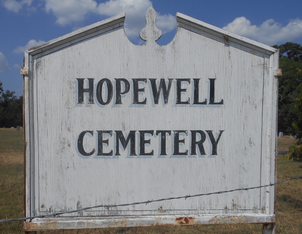
| Description | : | Hopewell Cemetery is a small African American cemetery four miles north of Wynnewood, Oklahoma. There is not a caretaker for the cemetery and the cemetery is unkempt. As a result, many of the headstones/markers are falling over, broken, destroyed and overgrown. There are many graves without dates, old funeral home markers or markers too weathered to read. |
frequently asked questions (FAQ):
-
Where is Hopewell Cemetery?
Hopewell Cemetery is located at Wynnewood, Garvin County ,Oklahoma , 73098USA.
-
Hopewell Cemetery cemetery's updated grave count on graveviews.com?
0 memorials
-
Where are the coordinates of the Hopewell Cemetery?
Latitude: 34.7069016
Longitude: -97.1607971
Nearby Cemetories:
1. State School Cemetery
Pauls Valley, Garvin County, USA
Coordinate: 34.7022018, -97.2050018
2. Mount Olivet Cemetery
Pauls Valley, Garvin County, USA
Coordinate: 34.7127991, -97.2102966
3. Bethlehem Cemetery
Pauls Valley, Garvin County, USA
Coordinate: 34.7196999, -97.2097015
4. Pauls Valley Cemetery
Pauls Valley, Garvin County, USA
Coordinate: 34.7330818, -97.2174225
5. Lewis Cemetery
Pauls Valley, Garvin County, USA
Coordinate: 34.7243996, -97.0792007
6. Oaklawn Cemetery
Wynnewood, Garvin County, USA
Coordinate: 34.6347008, -97.1575012
7. Oak Grove Cemetery
Garvin County, USA
Coordinate: 34.6643982, -97.0738983
8. Klondike Cemetery
Pauls Valley, Garvin County, USA
Coordinate: 34.6711006, -97.2589035
9. Civit Cemetery
Garvin County, USA
Coordinate: 34.7991982, -97.1138992
10. Clabber Flats Cemetery
Garvin County, USA
Coordinate: 34.7556000, -97.0374985
11. Whitebead Cemetery
Pauls Valley, Garvin County, USA
Coordinate: 34.7700005, -97.2902985
12. Wynnewood View Cemetery
Garvin County, USA
Coordinate: 34.5787930, -97.1955940
13. Sandy Hill Cemetery
Pauls Valley, Garvin County, USA
Coordinate: 34.7397200, -97.0036100
14. Abney Cemetery
Garvin County, USA
Coordinate: 34.7821999, -97.0243988
15. Paoli Cemetery
Paoli, Garvin County, USA
Coordinate: 34.8231010, -97.2463989
16. Iona Cemetery
Murray County, USA
Coordinate: 34.6181300, -97.0296800
17. Dulin Family Cemetery
Garvin County, USA
Coordinate: 34.8275700, -97.2561700
18. Wheeler Flats Cemetery
Murray County, USA
Coordinate: 34.5614014, -97.1399994
19. Lizzie Keel Cemetery
Stratford, Garvin County, USA
Coordinate: 34.7922400, -97.0128800
20. Florence Cemetery
Garvin County, USA
Coordinate: 34.7919006, -97.3153000
21. Dixon Chapel Cemetery
Stratford, Garvin County, USA
Coordinate: 34.8405100, -97.0579500
22. Corley Cemetery
Stratford, Garvin County, USA
Coordinate: 34.7233009, -96.9666977
23. Fort Family Cemetery
McClain County, USA
Coordinate: 34.8697014, -97.1596985
24. Blue Branch Cemetery
Rosedale, McClain County, USA
Coordinate: 34.8841120, -97.1591230