
| Memorials | : | 0 |
| Location | : | New Wells, Cape Girardeau County, USA |
| Coordinate | : | 37.5563200, -89.6252260 |
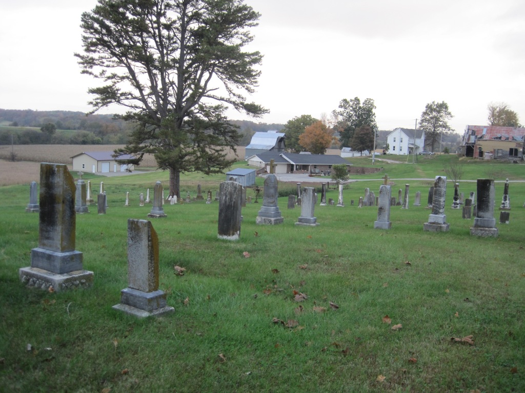
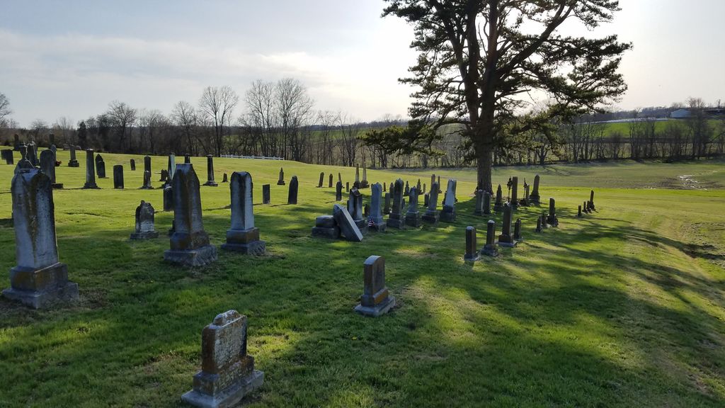
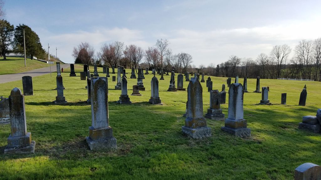
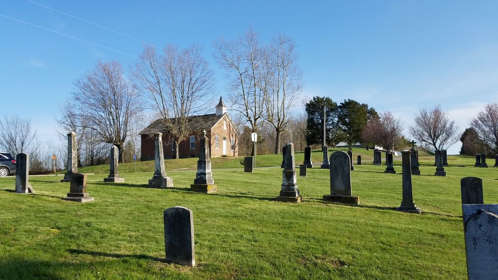
| Description | : | This is the old Immanuel Lutheran Church cemetery. It is located across the street from the existing church in New Wells. The new cemetery is located on Hwy C, between New Wells and Pocahontas. Burials at the new cemetery began in 1918. |
frequently asked questions (FAQ):
-
Where is Immanuel Lutheran Cemetery Old?
Immanuel Lutheran Cemetery Old is located at 329 County Road 516 New Wells, Cape Girardeau County ,Missouri ,USA.
-
Immanuel Lutheran Cemetery Old cemetery's updated grave count on graveviews.com?
0 memorials
-
Where are the coordinates of the Immanuel Lutheran Cemetery Old?
Latitude: 37.5563200
Longitude: -89.6252260
Nearby Cemetories:
1. Immanuel Lutheran Cemetery
New Wells, Cape Girardeau County, USA
Coordinate: 37.5473080, -89.6279210
2. Trinity Lutheran Cemetery
Shawneetown, Cape Girardeau County, USA
Coordinate: 37.5488100, -89.6532500
3. Fleming Cemetery
New Wells, Cape Girardeau County, USA
Coordinate: 37.5355500, -89.6111100
4. New Jerusalem Cemetery
Pocahontas, Cape Girardeau County, USA
Coordinate: 37.5324969, -89.6337600
5. New Bethel Baptist Church Cemetery
Jackson, Cape Girardeau County, USA
Coordinate: 37.5175514, -89.5870438
6. Saint Johns Lutheran Church Cemetery Old
Pocahontas, Cape Girardeau County, USA
Coordinate: 37.5048256, -89.6079254
7. St. John's Lutheran Church Cemetery New
Pocahontas, Cape Girardeau County, USA
Coordinate: 37.5015030, -89.6374512
8. Zion Lutheran Cemetery
Pocahontas, Cape Girardeau County, USA
Coordinate: 37.5011900, -89.6423800
9. Apple Creek Cemetery
Pocahontas, Cape Girardeau County, USA
Coordinate: 37.4989014, -89.6283035
10. High Hill Cemetery
Pocahontas, Cape Girardeau County, USA
Coordinate: 37.5389500, -89.5457500
11. Immanuel Lutheran Cemetery
Altenburg, Perry County, USA
Coordinate: 37.6275680, -89.5946780
12. Draby Cemetery
Cape Girardeau County, USA
Coordinate: 37.4817100, -89.6073200
13. Darby Cemetery
Leemon, Cape Girardeau County, USA
Coordinate: 37.4816300, -89.6072800
14. African Methodist Church Cemetery
Appleton, Cape Girardeau County, USA
Coordinate: 37.5882200, -89.7143500
15. Old Shiloh Cemetery
Pocahontas, Cape Girardeau County, USA
Coordinate: 37.4786100, -89.6424000
16. Trinity Lutheran Church Cemetery
Altenburg, Perry County, USA
Coordinate: 37.6318300, -89.5787100
17. Wilson Cemetery
Oak Ridge, Cape Girardeau County, USA
Coordinate: 37.5083000, -89.7136900
18. Goshen Cemetery
Oak Ridge, Cape Girardeau County, USA
Coordinate: 37.5226600, -89.7243800
19. Concordia Lutheran Cemetery
Frohna, Perry County, USA
Coordinate: 37.6441600, -89.6192900
20. Zion United Methodist Cemetery
Apple Creek, Cape Girardeau County, USA
Coordinate: 37.5819420, -89.7368000
21. Lang Cemetery
Appleton, Cape Girardeau County, USA
Coordinate: 37.5955238, -89.7319717
22. Erley-Dumbach Cemetery
Oak Ridge, Cape Girardeau County, USA
Coordinate: 37.5665500, -89.7460400
23. Grace Lutheran Cemetery
Uniontown, Perry County, USA
Coordinate: 37.6202420, -89.7175680
24. Grace Lutheran Middle Cemetery
Uniontown, Perry County, USA
Coordinate: 37.6224480, -89.7187930